Old Maps of Barbers Corners, Bolingbrook for Academic Research
Study the evolution of Barbers Corners with 15 high-resolution historic maps. Whether you're teaching, researching, or modeling changes in land use, these maps provide essential visual documentation of urban, environmental, and geographic change.
- Analyze long-term change: Track patterns in development, transportation, and natural features.
- Ideal for environmental or urban studies: Support academic projects with primary historical map data.
- Use in the classroom or lab: Educators and researchers rely on these maps to bring historical context to life.
These maps are a powerful tool for teaching, research, and visualizing how Barbers Corners has changed over the decades.
Barbers Corners, Bolingbrook maps
(15)- 1892 Map of Joliet
 1892 Joliet1892 Print · USGSWill County at the end of the nineteenth century was a bustling intersection of canal trade and heavy rail. Genealogists can trace the early streets of Joliet and Lockport or locate long-standing rural landmarks like Caton Farm and Grinton.6 unique versions available
 - 1923 Map of Joliet
 1923 Joliet1923 Print · USGSJoliet and the Des Plaines River valley are shown here in the 1920s, a hub of heavy industry and vital shipping canals. Genealogists and local historians can trace family roots through numerous country schools like Spaulding School, the Du Page Church, and the expansive State Penitentiary Farm.5 unique versions available
 - 1954 Map of Romeoville, 1955 Print
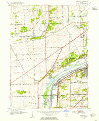 1954 Romeoville1955 Print · USGSThe Des Plaines River valley transitions from rural farming to a heavy industrial corridor in the mid-1950s. Genealogists can locate family burial sites at St Alphonsus Cem and Alexander Cem, or trace early schools like Bromberek Sch.
 - 1954 Map of Joliet, 1960 Print
 1954 Joliet1960 Print · USGSMid-century Joliet and Plainfield are captured here during a period of heavy industrial and transit growth. Researchers can trace the alignment of the Lincoln Highway and find localized details like the State Prison Farm and Caton Farm.
 - 1958 Map of Aurora, 1969 Print
 1958 Aurora1969 Print · USGSNorthern Illinois in the late fifties shows a landscape of powerful river industry and expanding transport corridors. Genealogists and historians can trace the development of Aurora and Joliet or locate sites like the Elwood Ordnance Plant and Starved Rock.3 unique versions available
 - 1961 Map of Aurora
 1961 Aurora1961 Print · USGSNorthern Illinois at the height of the post-war era reveals a landscape of massive industrial works and thriving river towns. Genealogists and historians can trace the paths of the Lincoln Highway or locate long-standing landmarks like the Green River Ordnance Plant and Starved Rock State Park.
 - 1962 Map of Romeoville, 1963 Print
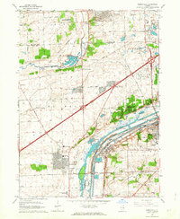 1962 Romeoville1963 Print · USGSThe Des Plaines Valley was undergoing significant suburban and industrial expansion in the early sixties. Researchers can trace the development of Romeoville and Lemont or locate local landmarks like Resurrection Cemetery and the Du Page Ch.4 unique versions available
 - 1985 Map of Aurora, 1989 Print
 1985 Aurora1989 Print · USGSNortheastern Illinois is captured in the mid-1980s as suburban growth began to bridge the gap between the Fox River cities and the outer prairies. Researchers can trace the development of Naperville and Aurora or locate rural landmarks like Fairview Cem and the Illinois and Michigan Canal.
 - 1993 Map of Romeoville, 1994 Print
 1993 Romeoville1994 Print · USGSThe suburbs of Will and DuPage counties show significant growth in the early nineties as residential neighborhoods expand near the industrial canal corridor. Genealogists can locate Resurrection Cemetery and Alexander Cem, while historians can trace the paths of the Atchison Topeka and Santa Fe RR through Romeo.
 - 1998 Map of Romeoville, 2002 Print
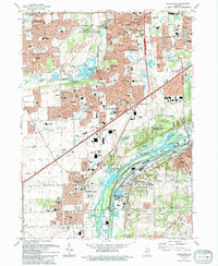
 1998 Romeoville2002 Print · USGSRomeoville and Bolingbrook show a landscape of rapid suburban expansion and heavy river industry in the late nineties. Researchers can trace the development of local parishes and schools or locate family plots at Resurrection Cemetery and St Matthews Cem.
 - 2012 Map of Romeoville, 2012 Print
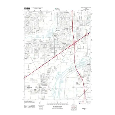 2012 Romeoville2012 Print · USGSCovers Barbers Corners, including Naperville, Bolingbrook, and other nearby areas
 - 2015 Map of Romeoville, 2015 Print
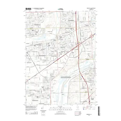 2015 Romeoville2015 Print · USGSCovers Barbers Corners, including Naperville, Bolingbrook, and other nearby areas
 - 2018 Map of Romeoville, 2018 Print
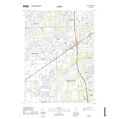 2018 Romeoville2018 Print · USGSCovers Barbers Corners, including Naperville, Bolingbrook, and other nearby areas
 - 2021 Map of Romeoville, 2021 Print
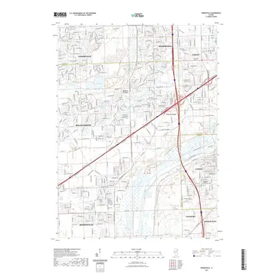 2021 Romeoville2021 Print · USGSCovers Barbers Corners, including Naperville, Bolingbrook, and other nearby areas
 - 2024 Map of Romeoville, 2024 Print
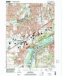
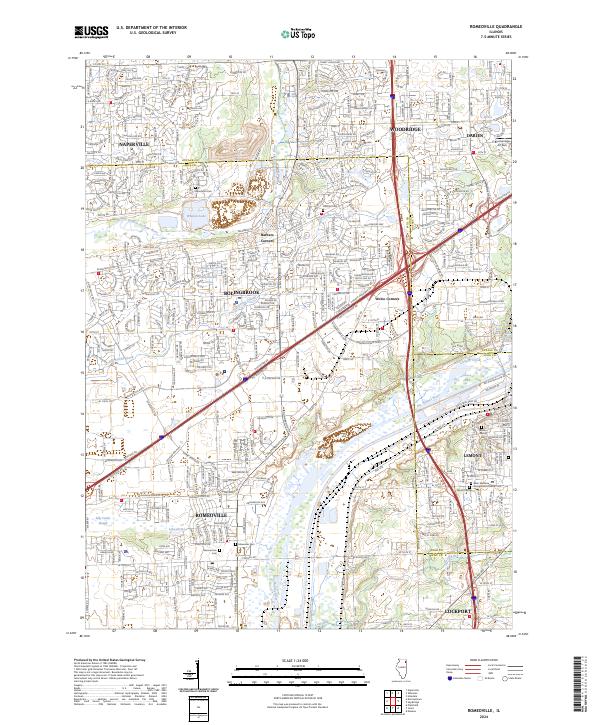 2024 Romeoville2024 Print · USGSThe suburban landscape south of Naperville is captured here in the 2020s, showing a high-density corridor where old townships meet modern industry. You can trace the Des Plaines River through Romeoville and locate historic burial sites like Boardman Cem or Hillcrest Cem.
End of results
Showing maps 1-15 of 15
Top cities near Barbers Corners
- Chicago historical maps
- Aurora historical maps
- Joliet historical maps
- Naperville historical maps
- Bolingbrook historical maps
- Wayne historical maps
See more
Frequently asked questions
- What are the different types of historical maps available for Barbers Corners?
- What is the oldest map of Barbers Corners?
- Where can I purchase historical maps of Barbers Corners for my home or office?
- Where can I download high-res historical maps of Barbers Corners?
- Are there historical topographic maps available for Barbers Corners?
- Is there historical aerial imagery available for Barbers Corners?
- Where are historical maps of Barbers Corners sourced from?