2000s (21st Century) Maps of Lockport, Illinois
Explore 15 historic maps of Lockport from the 2000s (21st Century). These maps offer a rare glimpse into what life looked like during the 2000s — showing old roads, neighborhoods, homes, and landmarks that have changed or disappeared over time.
Whether you're researching your family's past, planning a metal detecting trip, or studying how Lockport's landscape evolved across the 2000s, these high-resolution maps are a powerful tool for exploring the history of this region.
- Focus on a specific era: All maps on this page are from the 2000s, giving you a focused view of this time period.
- See what’s changed: Compare century-old streets, trails, and buildings to today's modern landscape using overlays and satellite layers.
- Research with precision: Use these maps for genealogy, historical research, land use analysis, or educational projects.
- View, download, or print: Maps are fully viewable online in high resolution, and can be downloaded or printed for your own records.
Start exploring Lockport's history through authentic maps from the 2000s. This is your window into the past.
Lockport, IL maps
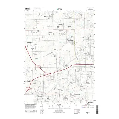
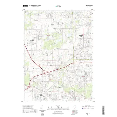
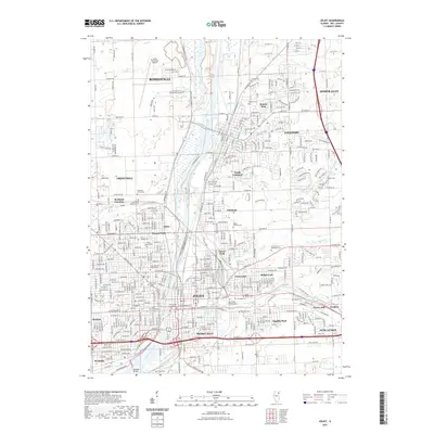
(15)- 2012 Map of Mokena, 2012 Print
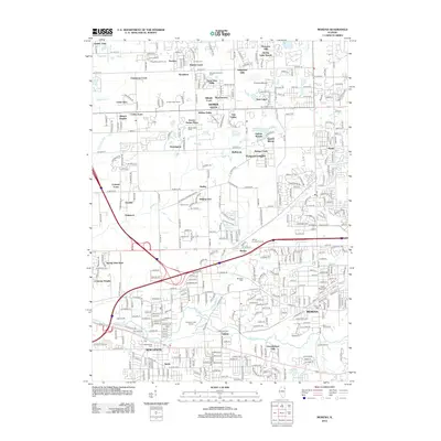 2012 Mokena2012 Print · USGSCovers Lockport, including Joliet, Orland Park, and other nearby areas
 - 2012 Map of Joliet, 2012 Print
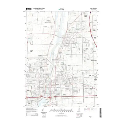
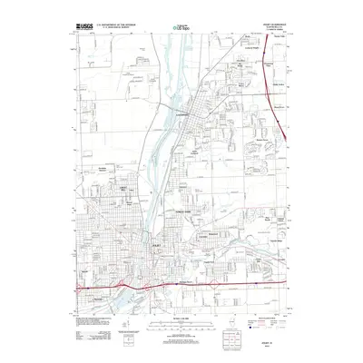 2012 Joliet2012 Print · USGSCovers Lockport, including Joliet, Romeoville, and other nearby areas
 - 2012 Map of Romeoville, 2012 Print
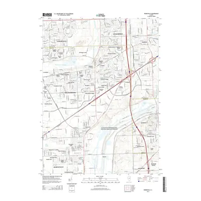
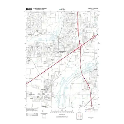 2012 Romeoville2012 Print · USGSCovers Lockport, including Naperville, Bolingbrook, and other nearby areas
 - 2015 Map of Mokena, 2015 Print
 2015 Mokena2015 Print · USGSCovers Lockport, including Joliet, Orland Park, and other nearby areas
 - 2015 Map of Joliet, 2015 Print
 2015 Joliet2015 Print · USGSCovers Lockport, including Joliet, Romeoville, and other nearby areas
 - 2015 Map of Romeoville, 2015 Print
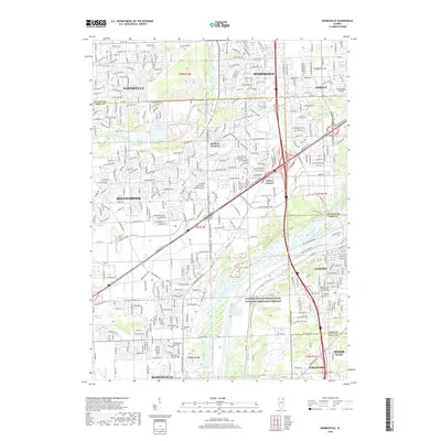
 2015 Romeoville2015 Print · USGSCovers Lockport, including Naperville, Bolingbrook, and other nearby areas
 - 2018 Map of Mokena, 2018 Print
 2018 Mokena2018 Print · USGSCovers Lockport, including Joliet, Orland Park, and other nearby areas
 - 2018 Map of Romeoville, 2018 Print
 2018 Romeoville2018 Print · USGSCovers Lockport, including Naperville, Bolingbrook, and other nearby areas
 - 2018 Map of Joliet, 2018 Print
 2018 Joliet2018 Print · USGSCovers Lockport, including Joliet, Romeoville, and other nearby areas
 - 2021 Map of Mokena, 2021 Print
 2021 Mokena2021 Print · USGSCovers Lockport, including Joliet, Orland Park, and other nearby areas
 - 2021 Map of Romeoville, 2021 Print
 2021 Romeoville2021 Print · USGSCovers Lockport, including Naperville, Bolingbrook, and other nearby areas
 - 2021 Map of Joliet, 2021 Print
 2021 Joliet2021 Print · USGSCovers Lockport, including Joliet, Romeoville, and other nearby areas
 - 2024 Map of Romeoville, 2024 Print
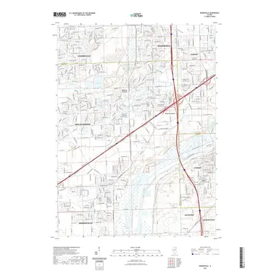
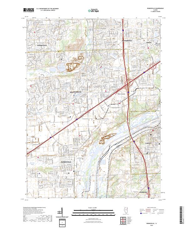 2024 Romeoville2024 Print · USGSThe suburban landscape south of Naperville is captured here in the 2020s, showing a high-density corridor where old townships meet modern industry. You can trace the Des Plaines River through Romeoville and locate historic burial sites like Boardman Cem or Hillcrest Cem.
 - 2024 Map of Joliet, 2024 Print
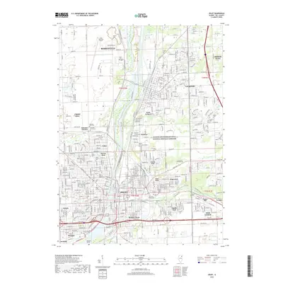
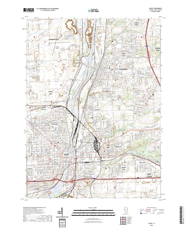 2024 Joliet2024 Print · USGSJoliet and the Des Plaines River valley are captured here in the early twenty-first century, showing the intersection of heavy river industry and suburban expansion. Genealogists and historians can locate numerous burial sites and landmarks like Stateville Prison Cem, the Will County Courthouse, and the campus of Lewis University.
 - 2024 Map of Mokena, 2024 Print
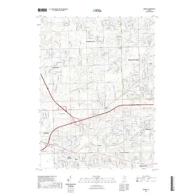
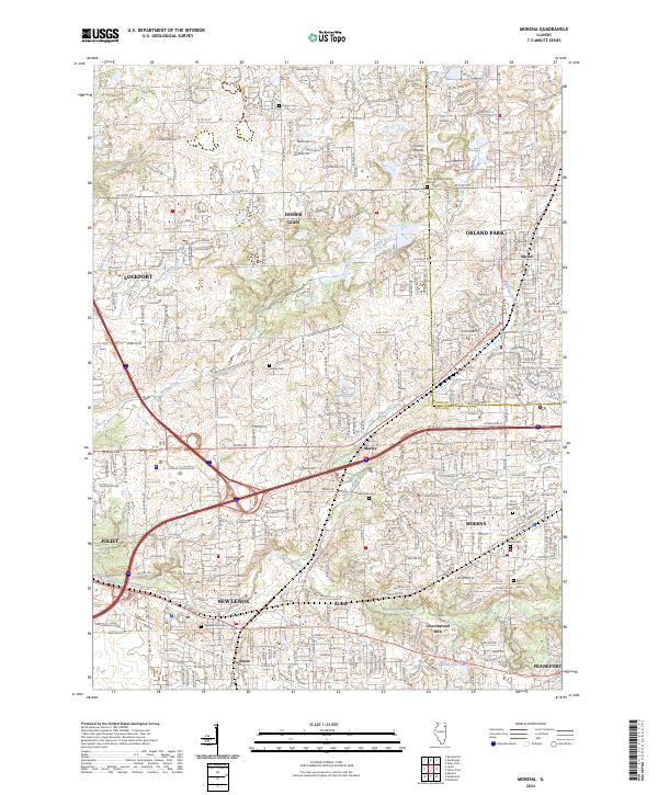 2024 Mokena2024 Print · USGSThe Will County suburbs and the Cook County line are captured in this modern survey. Genealogists can trace family burial sites at Hadley, Brooks, and Pioneer Cem, while mapping the growth of Marley and Mokena.
End of results
Showing maps 1-15 of 15
Top cities near Lockport
- Chicago historical maps
- Aurora historical maps
- Joliet historical maps
- Naperville historical maps
- Bolingbrook historical maps
- Oak Lawn historical maps
See more
Frequently asked questions
- What are the different types of historical maps available for Lockport?
- What is the oldest map of Lockport?
- Where can I purchase historical maps of Lockport for my home or office?
- Where can I download high-res historical maps of Lockport?
- Are there historical topographic maps available for Lockport?
- Is there historical aerial imagery available for Lockport?
- Where are historical maps of Lockport sourced from?