1900s (20th Century) Maps of Westminster Gardens, Shorewood
Explore 16 historic maps of Westminster Gardens from the 1900s (20th Century). These maps offer a rare glimpse into what life looked like during the 1900s — showing old roads, neighborhoods, homes, and landmarks that have changed or disappeared over time.
Whether you're researching your family's past, planning a metal detecting trip, or studying how Westminster Gardens's landscape evolved across the 1900s, these high-resolution maps are a powerful tool for exploring the history of this region.
- Focus on a specific era: All maps on this page are from the 1900s, giving you a focused view of this time period.
- See what’s changed: Compare century-old streets, trails, and buildings to today's modern landscape using overlays and satellite layers.
- Research with precision: Use these maps for genealogy, historical research, land use analysis, or educational projects.
- View, download, or print: Maps are fully viewable online in high resolution, and can be downloaded or printed for your own records.
Start exploring Westminster Gardens's history through authentic maps from the 1900s. This is your window into the past.
Westminster Gardens, Shorewood maps
(16)- 1918 Map of Wilmington
 1918 Wilmington1918 Print · USGSWill County in the late teens is a landscape shaped by the convergence of major rivers and several historic rail lines. Genealogists and historians can trace numerous rural schoolhouses like Red Brick School and Schweizer School alongside river towns such as Wilmington and Channahon.5 unique versions available
 - 1923 Map of Joliet
 1923 Joliet1923 Print · USGSJoliet and the Des Plaines River valley are shown here in the 1920s, a hub of heavy industry and vital shipping canals. Genealogists and local historians can trace family roots through numerous country schools like Spaulding School, the Du Page Church, and the expansive State Penitentiary Farm.5 unique versions available
 - 1954 Map of Plainfield, 1955 Print
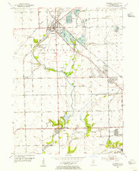 1954 Plainfield1955 Print · USGSWill County during the mid-fifties reveals a landscape defined by the Du Page River and the bustling industrial corridors of the Elgin Joliet and Eastern Railroad. Researchers can locate family landmarks like Caton Farm, trace historic burials at St Marys Cem, or find early rural schools such as Van Horn Sch.
 - 1954 Map of Channahon, 1955 Print
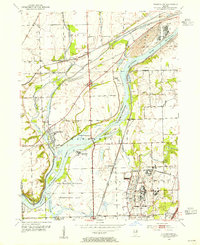 1954 Channahon1955 Print · USGSWill County at mid-century reveals a landscape shaped by major river junctions and the legacy of the canal era. Researchers can trace historical property lines and infrastructure through Channahon, finding detail on landmarks like Willard Grove Cem, Smith Bridge, and the Schweizer Sch.4 unique versions available
 - 1954 Map of Wilmington, 1960 Print
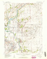 1954 Wilmington1960 Print · USGSWill and Grundy counties in the mid-fifties show a landscape of industrial convergence where major railroads meet the state's storied canal systems. Researchers can trace the Old Indian Boundary or locate family sites like the Soldiers Widows Home and Willard Grove Cem.3 unique versions available
 - 1954 Map of Joliet, 1960 Print
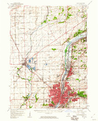 1954 Joliet1960 Print · USGSMid-century Joliet and Plainfield are captured here during a period of heavy industrial and transit growth. Researchers can trace the alignment of the Lincoln Highway and find localized details like the State Prison Farm and Caton Farm.
 - 1958 Map of Aurora, 1969 Print
 1958 Aurora1969 Print · USGSNorthern Illinois in the late fifties shows a landscape of powerful river industry and expanding transport corridors. Genealogists and historians can trace the development of Aurora and Joliet or locate sites like the Elwood Ordnance Plant and Starved Rock.3 unique versions available
 - 1961 Map of Aurora
 1961 Aurora1961 Print · USGSNorthern Illinois at the height of the post-war era reveals a landscape of massive industrial works and thriving river towns. Genealogists and historians can trace the paths of the Lincoln Highway or locate long-standing landmarks like the Green River Ordnance Plant and Starved Rock State Park.
 - 1962 Map of Plainfield, 1963 Print
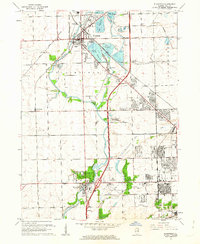 1962 Plainfield1963 Print · USGSWill County during the early sixties shows the rapid transition from agrarian roots to suburban industrial hub. Genealogists and researchers can trace family sites at Caton Farm, multiple schools like Troy Sch, and several burial grounds including St Marys Cem.3 unique versions available
 - 1985 Map of Ottawa
 1985 Ottawa1985 Print · USGSThe Illinois River valley in the mid-1980s shows a landscape balancing river commerce with sprawling energy and mining operations. Researchers can trace the layout of mining towns like Coal City or find family landmarks such as Oakwood Memorial Cem and Smiths Mound.
 - 1985 Map of Aurora, 1989 Print
 1985 Aurora1989 Print · USGSNortheastern Illinois is captured in the mid-1980s as suburban growth began to bridge the gap between the Fox River cities and the outer prairies. Researchers can trace the development of Naperville and Aurora or locate rural landmarks like Fairview Cem and the Illinois and Michigan Canal.
 - 1991 Map of Ottawa
 1991 Ottawa1991 Print · USGSNorth-central Illinois in the early nineties remains a vital corridor of river commerce and heavy rail. Genealogists and historians can trace the legacy of industrial mining near Morris or explore the river-bluff geography of Starved Rock State Park and Buffalo Rock.
 - 1993 Map of Plainfield, 1994 Print
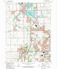 1993 Plainfield1994 Print · USGSWill County in the early nineties shows a landscape of suburban growth and preserved river corridors north of Joliet. Researchers can locate family sites at Plainfield Cemetery, trace the Du Page River, or find the Servant of Mary Convent.
 - 1993 Map of Channahon, 1994 Print
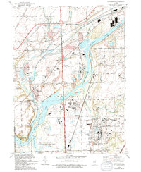 1993 Channahon1994 Print · USGSThe industrial and natural landscapes of Channahon and Minooka meet in the 1990s at the river forks. Genealogists and historians can trace family-named sites like Troutman Grove Cem alongside the sprawling Joliet Ammunitions Plant.
 - 1998 Map of Plainfield, 2002 Print
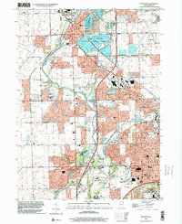 1998 Plainfield2002 Print · USGSThe Plainfield and Joliet area is shown here in the late 1990s as suburban growth began to surround the Du Page River. Genealogists and local historians can trace the County Farm Cem, the EJ & E RR, and the Servant of Mary Convent.
 - 1999 Map of Channahon, 2002 Print
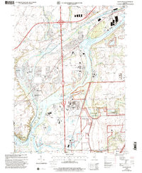 1999 Channahon2002 Print · USGSChannahon and Minooka sit at a major river confluence at the close of the twentieth century. Trace the industrial and military landscape from the Joliet Training Area to the Abraham Lincoln National Cemetery.
End of results
Showing maps 1-16 of 16
Frequently asked questions
- What are the different types of historical maps available for Westminster Gardens?
- What is the oldest map of Westminster Gardens?
- Where can I purchase historical maps of Westminster Gardens for my home or office?
- Where can I download high-res historical maps of Westminster Gardens?
- Are there historical topographic maps available for Westminster Gardens?
- Is there historical aerial imagery available for Westminster Gardens?
- Where are historical maps of Westminster Gardens sourced from?