2020s Maps of Williamson County, Illinois
Explore 30 historic maps of Williamson County from the 2020s. These maps offer a rare glimpse into what life looked like during the 2020s — showing old roads, neighborhoods, homes, and landmarks that have changed or disappeared over time.
Whether you're researching your family's past, planning a metal detecting trip, or studying how Williamson County's landscape evolved across the 2020s, these high-resolution maps are a powerful tool for exploring the history of this region.
- Focus on a specific era: All maps on this page are from the 2020s, giving you a focused view of this time period.
- See what’s changed: Compare century-old streets, trails, and buildings to today's modern landscape using overlays and satellite layers.
- Research with precision: Use these maps for genealogy, historical research, land use analysis, or educational projects.
- View, download, or print: Maps are fully viewable online in high resolution, and can be downloaded or printed for your own records.
Start exploring Williamson County's history through authentic maps from the 2020s. This is your window into the past.
Williamson County, IL maps
(30)- 2021 Map of Creal Springs, 2021 Print
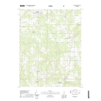 2021 Creal Springs2021 Print · USGSCovers Williamson County, including Marion, Creal Springs, and other nearby areas
 - 2021 Map of Goreville, 2021 Print
 2021 Goreville2021 Print · USGSCovers Williamson County, including Goreville, Lake Crest, and other nearby areas
 - 2021 Map of Johnston City, 2021 Print
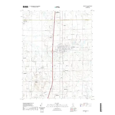 2021 Johnston City2021 Print · USGSCovers Williamson County, including Marion, Herrin, and other nearby areas
 - 2021 Map of Pittsburg, 2021 Print
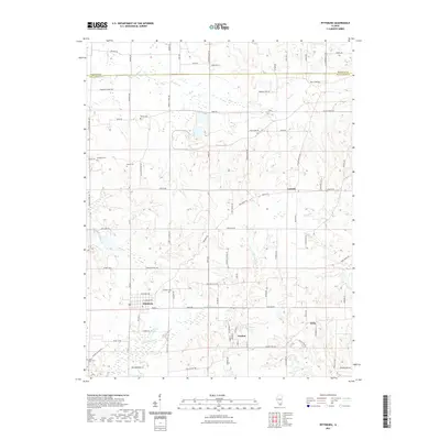 2021 Pittsburg2021 Print · USGSCovers Williamson County, including Pittsburg, Corinth, and other nearby areas
 - 2021 Map of Harco, 2021 Print
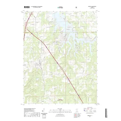
 2021 Harco2021 Print · USGSCovers Williamson County, including Galatia, Banklick, and other nearby areas
 - 2021 Map of Marion, 2021 Print
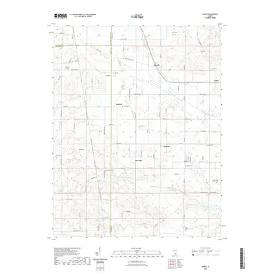
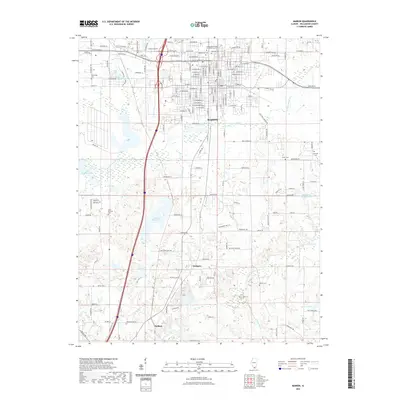 2021 Marion2021 Print · USGSCovers Williamson County, including Marion, Hudgens, and other nearby areas
 - 2021 Map of Carrier Mills, 2021 Print
 2021 Carrier Mills2021 Print · USGSCovers Williamson County, including Carrier Mills, Delta, and other nearby areas
 - 2021 Map of Stonefort, 2021 Print
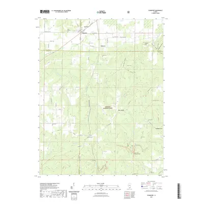 2021 Stonefort2021 Print · USGSCovers Williamson County, including Abbot, Watkins Ford, and other nearby areas
 - 2021 Map of Crab Orchard, 2021 Print
 2021 Crab Orchard2021 Print · USGSCovers Williamson County, including Marion, Creal Springs, and other nearby areas
 - 2021 Map of De Soto, 2021 Print
 2021 De Soto2021 Print · USGSCovers Williamson County, including Carbondale, De Soto, and other nearby areas
 - 2021 Map of Makanda, 2021 Print
 2021 Makanda2021 Print · USGSCovers Williamson County, including Cobden, Makanda, and other nearby areas
 - 2021 Map of Herrin, 2021 Print
 2021 Herrin2021 Print · USGSCovers Williamson County, including Herrin, Carterville, and other nearby areas
 - 2021 Map of Crab Orchard Lake, 2021 Print
 2021 Crab Orchard Lake2021 Print · USGSCovers Williamson County, including Marion, Herrin, and other nearby areas
 - 2021 Map of Carbondale, 2021 Print
 2021 Carbondale2021 Print · USGSCovers Williamson County, including Carbondale, Carterville, and other nearby areas
 - 2021 Map of Lick Creek, 2021 Print
 2021 Lick Creek2021 Print · USGSCovers Williamson County, including Lick Creek, The Hall, and other nearby areas
 - 2024 Map of Lick Creek, 2024 Print
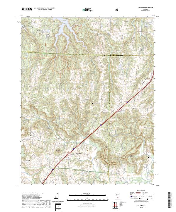 2024 Lick Creek2024 Print · USGSSouthern Illinois at the junction of three counties remains a landscape of deep woods and family history in this recent survey. Genealogists can locate several remote burial sites such as Mount Hebron Cem and Keller Cem, or trace the winding River-To-River Trl through Panther Den.
 - 2024 Map of Crab Orchard, 2024 Print
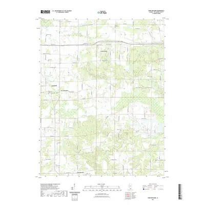
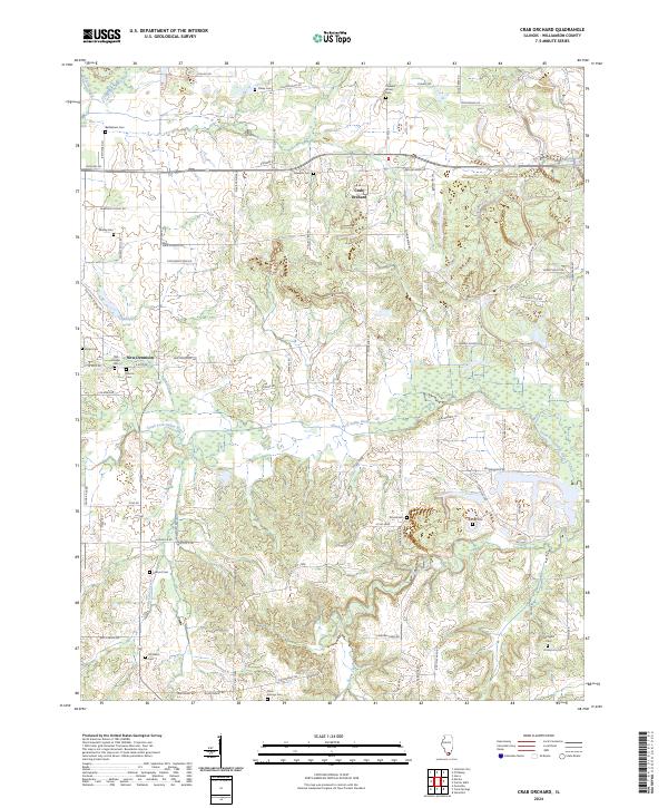 2024 Crab Orchard2024 Print · USGSCrab Orchard and its rural Williamson County surroundings are documented in this contemporary survey, showing the landscape as it appears today. Genealogists and local historians can trace legacy landmarks like Bethlehem Cem, New Dennison, and the winding South Fork Saline River.
 - 2024 Map of Stonefort, 2024 Print
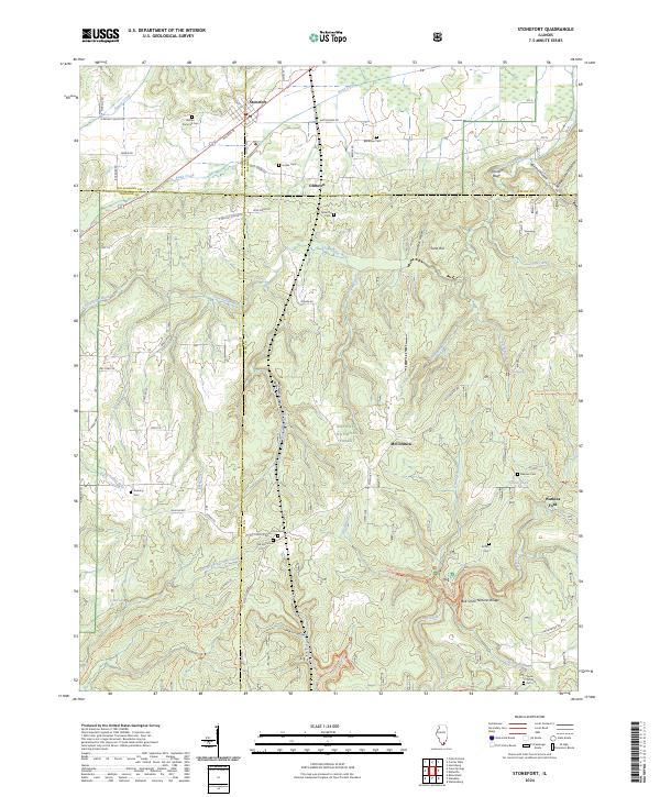 2024 Stonefort2024 Print · USGSSouthern Illinois at the crossroads of Saline, Johnson, and Pope counties reveals a landscape where wilderness and family history overlap. Researchers can trace ancestral sites at Bolton Trammell Cem or explore geologic landmarks like Bell Smith Natural Bridge and Burden Falls.
 - 2024 Map of Pittsburg, 2024 Print
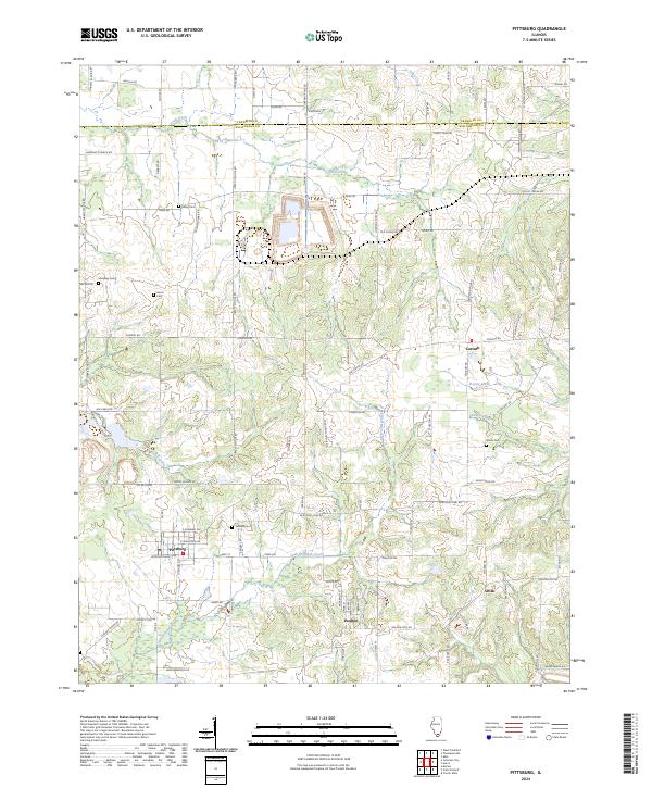 2024 Pittsburg2024 Print · USGSThe rural southern Illinois countryside near the Franklin and Williamson county line comes alive in this contemporary survey. Genealogists can locate several historic burial sites like Stilley Cem and Sanders Cem, or trace local ties to Pittsburg and Corinth.
 - 2024 Map of Herrin, 2024 Print
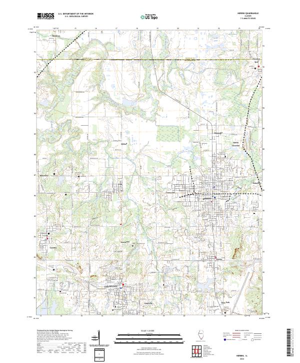 2024 Herrin2024 Print · USGSSouthern Illinois coal country is meticulously documented in this recent survey of the Williamson County area. Researchers can trace family history through numerous local burial sites like Colp-Dewmaine Cem and explore the legacy of settlements such as Chittyville, Energy, and Crainville.
 - 2024 Map of Carbondale, 2024 Print
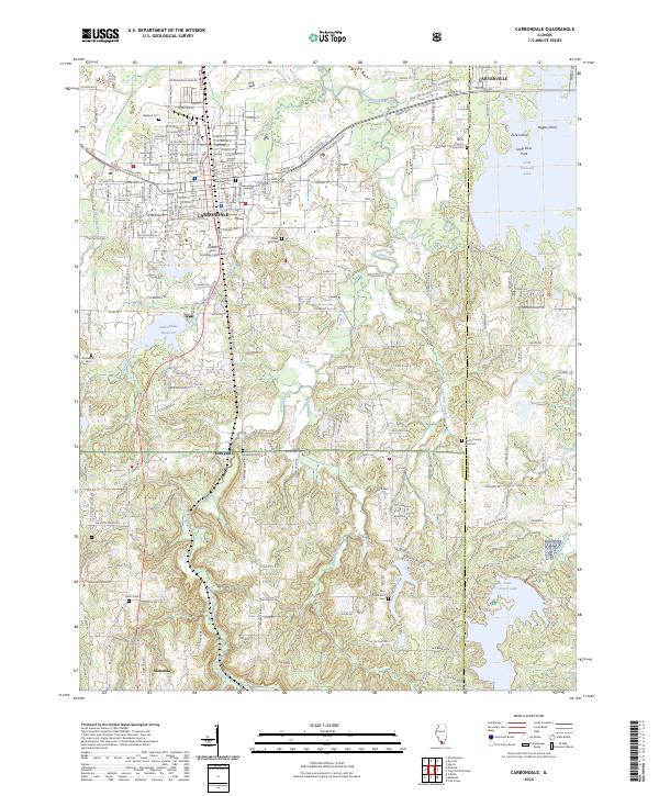 2024 Carbondale2024 Print · USGSCarbondale and its neighboring communities are shown at the edge of the great southern Illinois forests in the early 2020s. Genealogists can trace a wealth of burial sites including Woodlawn Cem and Winchester Cem alongside the campus of Southern Illinois University Carbondale.
 - 2024 Map of Makanda, 2024 Print
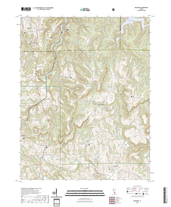 2024 Makanda2024 Print · USGSSouthern Illinois at the edge of the Shawnee National Forest comes to life in this detailed survey of the Jackson and Union county border. Researchers can trace family history through sites like Makanda Cem or explore the rugged terrain near Tiptop Knob and Little Grassy Lake.
 - 2024 Map of De Soto, 2024 Print
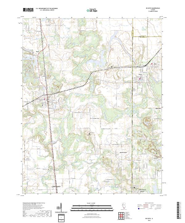 2024 De Soto2024 Print · USGSJackson and Williamson Counties appear in this modern survey where the Big Muddy and Little Muddy rivers meet. Researchers can locate family landmarks such as De Soto Cem, Indian Hill Cem, and the small settlements of Reeds Station and Blairsville.
 - 2024 Map of Goreville, 2024 Print
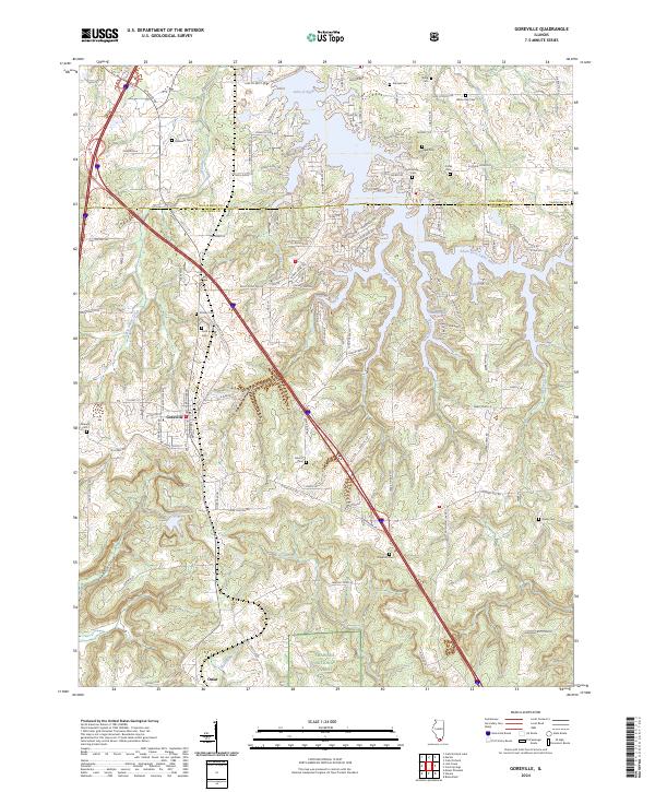 2024 Goreville2024 Print · USGSGoreville and the northern reaches of the Shawnee National Forest are shown in this modern survey of the Southern Illinois landscape. Genealogists and researchers can trace local family history through numerous rural cemeteries like Cana Cem, Webb Cem, and Gibson Cem.
 - 2024 Map of Carrier Mills, 2024 Print
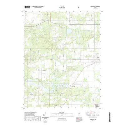
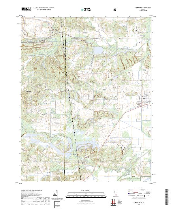 2024 Carrier Mills2024 Print · USGSCarrier Mills and the surrounding Saline County countryside are shown here at the intersection of industry and the great outdoors. Researchers can locate family roots at Spring Grove Cem or trace the early paths of Dykersburg and Delta near the Bankston Fork.
Showing maps 1-25 of 30
Top cities of Williamson County
- Marion historical maps
- Herrin historical maps
- Carterville historical maps
- Johnston City historical maps
- Cambria historical maps
- Crainville historical maps
See more
Frequently asked questions
- What are the different types of historical maps available for Williamson County?
- What is the oldest map of Williamson County?
- Where can I purchase historical maps of Williamson County for my home or office?
- Where can I download high-res historical maps of Williamson County?
- Are there historical topographic maps available for Williamson County?
- Is there historical aerial imagery available for Williamson County?
- Where are historical maps of Williamson County sourced from?