Old Maps of Williamson County, Illinois for Genealogy
Trace your family roots with 126 historic maps of Williamson County. These high-res maps reveal old neighborhoods, homesites, landmarks, and streets — helping you uncover where your ancestors lived and how the area evolved over time.
- Explore historic neighborhoods: Identify where your relatives may have lived in the 1800s or 1900s.
- Compare maps over time: Trace the changes in streets, buildings, and landmarks for multi-generational research.
- Perfect for genealogy & ancestry research: Used by family historians and researchers to map out lineage and migration.
These maps are an incredible resource for exploring your personal connection to Williamson County's past.
Williamson County, IL maps
(126)- 1908 Map of Galatia
 1908 Galatia1908 Print · USGSSouthern Illinois at the dawn of the twentieth century was a landscape of thriving rural communities and rail-side towns. Genealogists can trace family roots through numerous local landmarks like Possum Flat School, Tate Township Hall, and Mount Pleasant Church.2 unique versions available
 - 1909 Map of West Frankfort
 1909 West Frankfort1909 Print · USGSSouthern Illinois at the peak of the coal and rail boom is captured here across Franklin and Williamson counties. Genealogists can locate family landmarks like Coon Ridge School, Mormon Church, and small settlements such as Smothersville or Deering City.2 unique versions available
 - 1910 Map of Herrin
 1910 Herrin1910 Print · USGSSouthern Illinois thrived at the height of its rail-and-coal era, with this 1910 survey capturing a landscape of growing towns and industrial spurs. Genealogists and historians can trace family roots through localized sites like Dewmaine, Old Duquoin, and the Oak Grove School.2 unique versions available
 - 1922 Map of Carbondale
 1922 Carbondale1922 Print · USGSSouthern Illinois in the early 1920s is captured here at the height of its rail-driven rural development. Genealogists can trace family connections through dozens of named rural sites like Stone School, Cottage Home Church, and the Illinois Central corridor.3 unique versions available
 - 1925 Map of Marion
 1925 Marion1925 Print · USGSSouthern Illinois in the mid-twenties was a landscape of coal-country rail hubs and remote ridge-top settlements. Genealogists and historians can trace the network of country schools and churches like Coalbank Springs Church, the industrial footprint of Pilleys Mill, and the rail corridors through Tunnel Hill.3 unique versions available
 - 1925 Map of Harrisburg
 1925 Harrisburg1925 Print · USGSSouthern Illinois coal country is in its prime during the 1920s, showing a landscape of rail-connected mining towns and remote hill settlements. Genealogists can locate dozens of country schools and churches like Mayhew School and Salem Church, alongside industrial landmarks like Wasson Mine No 2.3 unique versions available
 - 1936 Map of Herrin
 1936 Herrin1936 Print · USGSSouthern Illinois was defined by its coal-and-rail economy in the 1930s as industrial lines reached deep into the countryside. Trace the family landmarks of this era at Old Duquoin, Buckner Pond, and the Union Hill Church.2 unique versions available
 - 1938 Map of Galatia, 1959 Print
 1938 Galatia1959 Print · USGSThe Southern Illinois interior near the Saline River comes to life in this survey from the late thirties. Genealogists and historians can trace family roots through numerous local landmarks like Thistle Ridge School, Tate Chapel, and Akin.
 - 1939 Map of Harrisburg, 1959 Print
 1939 Harrisburg1959 Print · USGSSouthern Illinois at the end of the Depression era reveals a landscape of growing coal towns and dozens of rural school districts. Genealogists can trace family connections at Ward Cem, Stonefort, and rural outposts like McCormick and Allenby.
 - 1940 Map of Marion, 1958 Print
 1940 Marion1958 Print · USGSSouthern Illinois during the early 1940s reveals a landscape defined by its rail junctions and scattered rural schools. Genealogists can trace family roots through sites like Bainbridge Cem, Pulleys Mill, and the many schools like Skaggs School.
 - 1941 Map of Carbondale, 1955 Print
 1941 Carbondale1955 Print · USGSSouthern Illinois was undergoing a transformation in the early 1940s as new reservoirs reshaped the topography near Carbondale. Researchers can trace rural life through dozens of named sites like Clemmenstown School and South County Line Church.2 unique versions available
 - 1941 Map of West Frankfort, 1959 Print
 1941 West Frankfort1959 Print · USGSSouthern Illinois coal country is shown here just before the mid-century, where a dense rail network connects thriving mining towns. Genealogists can trace family roots through numerous country landmarks like Coon Ridge School, Williams Prairie Church, and Brush Prairie School.
 - 1949 Map of Paducah
 1949 Paducah1949 Print · USGSThe confluence of the Ohio, Mississippi, Tennessee, and Cumberland rivers at the close of the 1940s reveals a region bound by water and rail. Researchers can trace historic river landings, timberlands in the Shawnee National Forest, and the coal-mining infrastructure around West Frankfort and Herrin.2 unique versions available
 - 1950 Map of Paducah
 1950 Paducah1950 Print · USGSThe confluence of the great midwestern rivers defines this mid-century landscape at the intersection of Illinois, Kentucky, and Missouri. Genealogists and historians can trace the rail-and-river economy through the hubs of Paducah, Cairo, and Metropolis or locate family roots near the Wildcat Hills.
 - 1954 Map of Paducah
 1954 Paducah1954 Print · USGSSouthern Illinois and Western Kentucky intersect at the great river confluences during this mid-century era of rail and river industry. Genealogists and historians can trace family roots and commerce through river towns like Cairo, Metropolis, and Golconda, or along the tracks of the Illinois Central Railroad.2 unique versions available
 - 1961 Map of Paducah
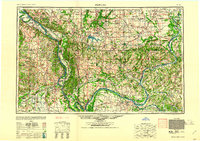 1961 Paducah1961 Print · USGSThe Lower Ohio Valley at mid-century is a landscape defined by its great rivers and newly formed reservoirs. Researchers can trace the riverfronts of Paducah and Metropolis, or locate smaller settlements like Old Shawneetown and Cave in Rock along the banks.2 unique versions available
 - 1961 Map of Stonefort, 1962 Print
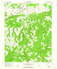 1961 Stonefort1962 Print · USGSSouthern Illinois at the start of the sixties shows a network of family cemeteries and rural parishes tucked between the ridges of the Shawnee National Forest. Genealogists can trace family names at Rushing Cem and Old Zion Cem, or locate the Reagan Sch and McCormick Lookout Tower.2 unique versions available
 - 1961 Map of Carrier Mills, 1962 Print
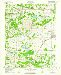 1961 Carrier Mills1962 Print · USGSSouthern Illinois coal country is shown here in the early sixties, centered on the busy rail hub of Carrier Mills. Genealogists and local historians can trace the intersection of industry and community at Dykersburg Sch, Jenny Ridge Cem, and the Sahara Mine No 7.3 unique versions available
 - 1961 Map of Harrisburg, 1965 Print
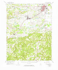 1961 Harrisburg1965 Print · USGSSouthern Illinois coal country and forest lands meet in the early sixties as the rail networks of the New York Central serve a landscape of active mines. Researchers can locate family cemeteries and vanished stops like Dykersburg, Newcastle, and the Sahara Mine No 16 Cem.
 - 1963 Map of Pittsburg, 1964 Print
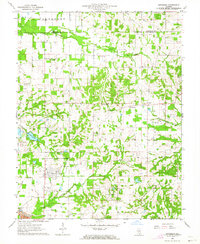 1963 Pittsburg1964 Print · USGSSouthern Illinois at the dawn of the sixties shows a landscape of coal mining and scattered farming communities. Researchers can trace family sites at Williams Prairie Ch, locate the Freeman No 4 Mine, or follow the Missouri Pacific rail line.
 - 1963 Map of Johnston City, 1964 Print
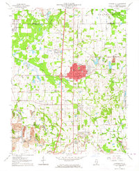 1963 Johnston City1964 Print · USGSSouthern Illinois coal country is in full operation during the early 1960s, showing a landscape shaped by rail and extraction. Researchers can trace the heritage of Johnston City and smaller hamlets like Dog Walk or locate family plots at Moake Cem and Fergus Cem.2 unique versions available
 - 1963 Map of Harco, 1964 Print
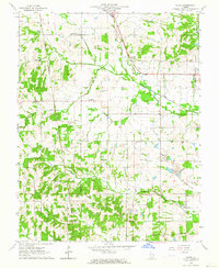 1963 Harco1964 Print · USGSIn the early 1960s, the Illinois interior was a landscape of coal fields, oil wells, and tight-knit rural parishes. Genealogists and historians can trace family ties through numerous landmarks like Abney Cem, Allena Chapel, and the settlement at Harco.
 - 1963 Map of West Frankfort, 1966 Print
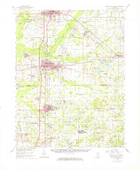 1963 West Frankfort1966 Print · USGSSouthern Illinois coal country is caught at a mid-century peak in this survey of Franklin and Williamson counties. Researchers can trace vanished rail spurs, family-named plots like Rea Cem, and mining sites from the Orient No 5 Mine to White Ash.
 - 1963 Map of Galatia, 1966 Print
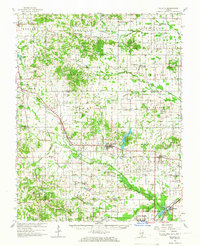 1963 Galatia1966 Print · USGSSouthern Illinois in the early sixties was a landscape defined by coal, oil, and the rails of the Illinois Central. Genealogists can trace family roots through numerous remote burial grounds like Old Ruff Cem and Masonic Cem, or locate landmarks such as Tate Chapel and Harco.2 unique versions available
 - 1964 Map of Paducah
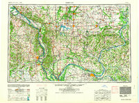 1964 Paducah1964 Print · USGSThe river-and-rail corridor of Southern Illinois and Western Kentucky is captured here during the height of the mid-century industrial era. Genealogists and researchers can trace local landmarks across several counties, from the rail yards of Paducah to the waters of Crab Orchard Lake and Kentucky Reservoir.2 unique versions available
Showing maps 1-25 of 126
Top cities of Williamson County
- Marion historical maps
- Herrin historical maps
- Carterville historical maps
- Johnston City historical maps
- Cambria historical maps
- Crainville historical maps
See more
Frequently asked questions
- What are the different types of historical maps available for Williamson County?
- What is the oldest map of Williamson County?
- Where can I purchase historical maps of Williamson County for my home or office?
- Where can I download high-res historical maps of Williamson County?
- Are there historical topographic maps available for Williamson County?
- Is there historical aerial imagery available for Williamson County?
- Where are historical maps of Williamson County sourced from?