Old Maps of Edgewood Estates, Indiana for Genealogy
Trace your family roots with 11 historic maps of Edgewood Estates. These high-res maps reveal old neighborhoods, homesites, landmarks, and streets — helping you uncover where your ancestors lived and how the area evolved over time.
- Explore historic neighborhoods: Identify where your relatives may have lived in the 1800s or 1900s.
- Compare maps over time: Trace the changes in streets, buildings, and landmarks for multi-generational research.
- Perfect for genealogy & ancestry research: Used by family historians and researchers to map out lineage and migration.
These maps are an incredible resource for exploring your personal connection to Edgewood Estates's past.
Edgewood Estates, IN maps
(11)- 1953 Map of Fort Wayne, 1963 Print
 1953 Fort Wayne1963 Print · USGSNortheast Indiana and its neighboring borderlands in Michigan and Ohio appear here during a peak era of rail and road expansion. Researchers can trace the massive rail networks of the Nickel Plate Road and Wabash or locate lakeside landmarks like Lake Wawasee and Clear Lake.4 unique versions available
 - 1956 Map of Fort Wayne
 1956 Fort Wayne1956 Print · USGSThe tri-state borderlands of Indiana, Michigan, and Ohio are captured here in the mid-fifties, centered on the growing industrial hub of Fort Wayne. Researchers can trace the heavy rail lines of the New York Central and Pennsylvania alongside prominent water features like Lake Wawasee and the Maumee River.2 unique versions available
 - 1957 Map of Huntertown, 1959 Print
 1957 Huntertown1959 Print · USGSNorthern Allen County in the late fifties shows a rural landscape transitioning toward urban growth. Genealogists and historians can locate old rural settlements like Royville, the site of Dunn Mill, and the grounds of the Byron Sanatorium.
 - 1963 Map of Huntertown, 1965 Print
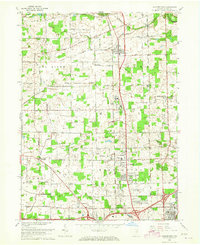 1963 Huntertown1965 Print · USGSNorth of the city in the early 1960s, this area shows a landscape of small farming communities and county institutions. You can trace the rural roots of Huntertown and Wallen, or locate historic sites like Duhn Mill, Byron Sanatorium, and Bethel Cem.3 unique versions available
 - 1984 Map of Fort Wayne, 1985 Print
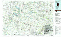 1984 Fort Wayne1985 Print · USGSNortheast Indiana in the mid-1980s reveals a complex landscape of glacial lakes, thriving college towns, and heavy rail infrastructure. Researchers can trace the development of Winona Lake, locate Manchester College in North Manchester, and find rural landmarks like Oakwood Cem or the Tri-County State Fish and Game Area.
 - 1994 Map of Fort Wayne
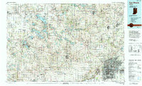 1994 Fort Wayne1994 Print · USGSNortheast Indiana in the mid-nineties shows a landscape deeply tied to its glacial lakes and early rail networks. Genealogists and historians can trace old transit lines like the Old Ind RR and explore lakeside settlements such as Enchanted Hills and Syracuse.
 - 2010 Map of Huntertown, 2010 Print
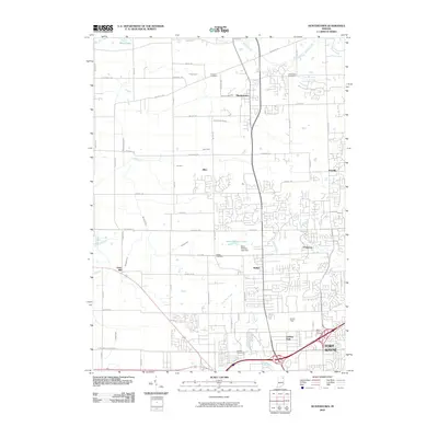 2010 Huntertown2010 Print · USGSNorthern Allen County and the outskirts of Fort Wayne are captured here during a period of modern expansion. Genealogists and local historians can trace family locations through Fairview Cemetery, Huntertown, and the grounds around Smith Field.
 - 2013 Map of Huntertown, 2013 Print
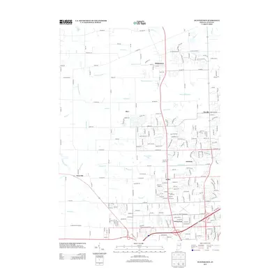 2013 Huntertown2013 Print · USGSNorth of Fort Wayne in the early 2010s, this area shows the transition from rural Allen County to growing suburban communities. Genealogists and local historians can trace the developments around Huntertown, Wallen, and the historic location of Dunn Mill.
 - 2016 Map of Huntertown, 2016 Print
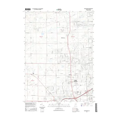 2016 Huntertown2016 Print · USGSThe northern edge of Fort Wayne in the mid-2010s shows a landscape of suburban growth and traditional farm drainage. Genealogists and researchers can trace local family landmarks through Huntertown Cem, the aviation site at Smith Field, and the community of Royville.
 - 2019 Map of Huntertown, 2019 Print
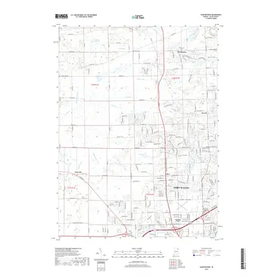 2019 Huntertown2019 Print · USGSNorthern Allen County and the outskirts of Fort Wayne are captured here in the late 2010s as the landscape shifts from agricultural roots to suburban growth. Genealogists can locate several historic burial sites like Huntertown Cem and Hatfield Cem, or trace the industrial history of Dunn Mill.
 - 2022 Map of Huntertown, 2022 Print
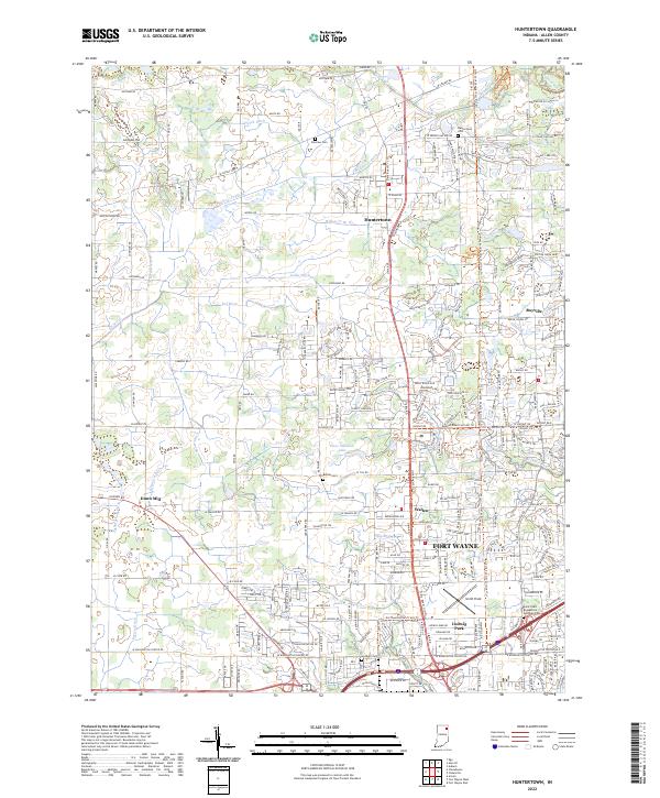 2022 Huntertown2022 Print · USGSAllen County north of Fort Wayne is shown here during a period of modern suburban growth and recreational trail development. Researchers can locate family sites at Bethel Cem, trace the former rail line at New York Central Corridor Trl, and find the historic Dunn Mill area.
End of results
Showing maps 1-11 of 11
Frequently asked questions
- What are the different types of historical maps available for Edgewood Estates?
- What is the oldest map of Edgewood Estates?
- Where can I purchase historical maps of Edgewood Estates for my home or office?
- Where can I download high-res historical maps of Edgewood Estates?
- Are there historical topographic maps available for Edgewood Estates?
- Is there historical aerial imagery available for Edgewood Estates?
- Where are historical maps of Edgewood Estates sourced from?