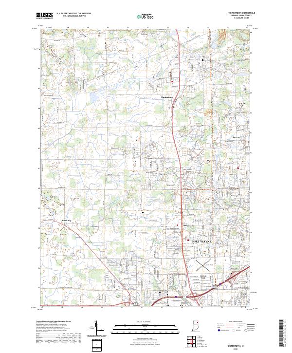
2022 Map of Huntertown
USGS Topo · Published 2022About this map
Huntertown and the northern suburban fringes of Fort Wayne anchor this recent look at Allen County’s changing landscape. The northern reaches maintain a distinct drainage pattern defined by the Eel River and various managed waterways like Hatch Ditch and Geller Ditch. As residential development expands between established settlements like Wallen and Royville, the map preserves the location of traditional landmarks such as Huntertown Cem and Fairview Cem. A notable transformation is visible in the transportation network, where the New York Central Corridor Trl now follows the path of former rail infrastructure, and Smith Field serves as a local aviation hub. Smaller legacy sites like Dunn Mill and Daus Addition Lake provide specific points of interest for local historians tracking the transition from agricultural land to the structured growth of the Fort Wayne periphery.
Find a feature on this map
68 named features on this map. Tap any name to fly to it.
Don’t see what you’re looking for? This feature index may not catch every label — zoom into the map to look around manually.
Map Details
Editions of this 2022 Huntertown Map
This is the sole edition of this map. No revisions or reprints were ever made.
Other maps of this area

1953 · Fort Wayne
USGS Topo · 1:250,000

1955 · Ege
USGS Topo · 1:24,000

1956 · Fort Wayne
USGS Topo · 1:250,000

1956 · Fort Wayne West
USGS Topo · 1:24,000

1956 · Fort Wayne East
USGS Topo · 1:24,000

1956 · Cedarville
USGS Topo · 1:24,000

1957 · Auburn
USGS Topo · 1:24,000

1957 · Huntertown
USGS Topo · 1:24,000

1957 · Garrett
USGS Topo · 1:24,000

1957 · Churubusco
USGS Topo · 1:24,000