1900s (20th Century) Maps of Fort Wayne, Indiana
Explore 19 historic maps of Fort Wayne from the 1900s (20th Century). These maps offer a rare glimpse into what life looked like during the 1900s — showing old roads, neighborhoods, homes, and landmarks that have changed or disappeared over time.
Whether you're researching your family's past, planning a metal detecting trip, or studying how Fort Wayne's landscape evolved across the 1900s, these high-resolution maps are a powerful tool for exploring the history of this region.
- Focus on a specific era: All maps on this page are from the 1900s, giving you a focused view of this time period.
- See what’s changed: Compare century-old streets, trails, and buildings to today's modern landscape using overlays and satellite layers.
- Research with precision: Use these maps for genealogy, historical research, land use analysis, or educational projects.
- View, download, or print: Maps are fully viewable online in high resolution, and can be downloaded or printed for your own records.
Start exploring Fort Wayne's history through authentic maps from the 1900s. This is your window into the past.
Fort Wayne, IN maps
(19)- 1953 Map of Fort Wayne, 1963 Print
 1953 Fort Wayne1963 Print · USGSNortheast Indiana and its neighboring borderlands in Michigan and Ohio appear here during a peak era of rail and road expansion. Researchers can trace the massive rail networks of the Nickel Plate Road and Wabash or locate lakeside landmarks like Lake Wawasee and Clear Lake.4 unique versions available
 - 1953 Map of Muncie, 1966 Print
 1953 Muncie1966 Print · USGSIndiana and Ohio borderlands thrive in the early fifties, showing a landscape defined by manufacturing cities and an intensive railroad network. Genealogists can trace family roots across the Indiana-Ohio line through Muncie, Celina, and Portland via the Pennsylvania railroad.5 unique versions available
 - 1956 Map of Muncie
 1956 Muncie1956 Print · USGSEastern Indiana and western Ohio are shown at a peak of rail-driven industry in the mid-fifties. Genealogists and rail historians can trace the paths of the Pennsylvania RR through Muncie or locate landmarks like Lake Saint Marys (Grand Lake Reservoir) and Frances Slocum State Forest.
 - 1956 Map of Fort Wayne
 1956 Fort Wayne1956 Print · USGSThe tri-state borderlands of Indiana, Michigan, and Ohio are captured here in the mid-fifties, centered on the growing industrial hub of Fort Wayne. Researchers can trace the heavy rail lines of the New York Central and Pennsylvania alongside prominent water features like Lake Wawasee and the Maumee River.2 unique versions available
 - 1956 Map of Fort Wayne West, 1958 Print
 1956 Fort Wayne West1958 Print · USGSFort Wayne and its western suburbs thrive in the mid-fifties at the historic meeting of the three rivers. Researchers can trace the development of Indian Village, locate ancestral plots in Lindenwood Cemetery, or identify vanished landmarks like St Vincents Orphan Home.
 - 1956 Map of Fort Wayne East, 1958 Print
 1956 Fort Wayne East1958 Print · USGSFort Wayne's eastern suburbs and industrial corridors expanded rapidly during the mid-fifties, centered on the convergence of the three rivers. Researchers can find numerous parochial institutions like Martini Ch and St Peter Sch alongside landmarks like Zollner Stadium.
 - 1956 Map of Cedarville, 1958 Print
 1956 Cedarville1958 Print · USGSAllen County’s river valleys and growing suburbs come into focus during the mid-fifties as infrastructure like the Cedarville Reservoir transformed the local landscape. Genealogists and historians can trace institutional sites like Sr Concordia College and old family-named landmarks like Viberg Ch Cem.
 - 1957 Map of Huntertown, 1959 Print
 1957 Huntertown1959 Print · USGSNorthern Allen County in the late fifties shows a rural landscape transitioning toward urban growth. Genealogists and historians can locate old rural settlements like Royville, the site of Dunn Mill, and the grounds of the Byron Sanatorium.
 - 1961 Map of Arcola, 1963 Print
 1961 Arcola1963 Print · USGSAllen County in the early sixties showcases a rural landscape evolving with new residential developments and established rail corridors. Genealogists can trace family heritage at St Patricks Cem, Bayliss Cem, or through the early settlement of Arcola and Dunfee.2 unique versions available
 - 1962 Map of Ossian, 1963 Print
 1962 Ossian1963 Print · USGSAllen and Wells Counties are shown in the early sixties, a time of small-town growth and established aviation infrastructure. Genealogists can trace family footprints across Oak Lawn Cem, the Fairview Ch, and local schools like St Marks Sch.2 unique versions available
 - 1963 Map of Cedarville, 1965 Print
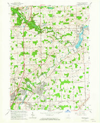 1963 Cedarville1965 Print · USGSIn the early sixties, the Allen County countryside northeast of Fort Wayne was rapidly evolving from agricultural land to residential neighborhoods. Trace family roots and land use near Cedarville and Leo at sites like Robinson Chapel, Viberg Chapel, and the Concordia Senior College campus.3 unique versions available
 - 1963 Map of Huntertown, 1965 Print
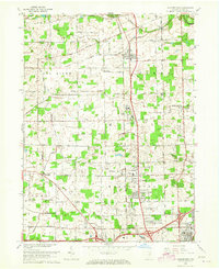 1963 Huntertown1965 Print · USGSNorth of the city in the early 1960s, this area shows a landscape of small farming communities and county institutions. You can trace the rural roots of Huntertown and Wallen, or locate historic sites like Duhn Mill, Byron Sanatorium, and Bethel Cem.3 unique versions available
 - 1963 Map of Fort Wayne East, 1965 Print
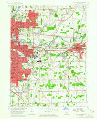 1963 Fort Wayne East1965 Print · USGSFort Wayne and New Haven expand into the Allen County countryside during the early sixties as new subdivisions rise along the rail lines. Genealogists and historians can trace the footprints of local institutions like St Andrews Sch, Martini Ch, and the South Anthony Speedway.3 unique versions available
 - 1963 Map of Fort Wayne West, 1965 Print
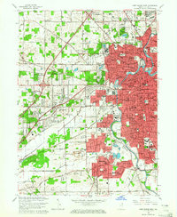 1963 Fort Wayne West1965 Print · USGSMid-century Fort Wayne is shown in its era of suburban expansion and industrial transition. Genealogists and historians can trace numerous neighborhoods and landmarks like Waynedale, Johnny Appleseed Memorial Park, and the Indiana School for Feeble Minded Youth.4 unique versions available
 - 1984 Map of Fort Wayne, 1985 Print
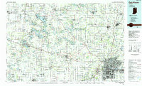 1984 Fort Wayne1985 Print · USGSNortheast Indiana in the mid-1980s reveals a complex landscape of glacial lakes, thriving college towns, and heavy rail infrastructure. Researchers can trace the development of Winona Lake, locate Manchester College in North Manchester, and find rural landmarks like Oakwood Cem or the Tri-County State Fish and Game Area.
 - 1986 Map of Wabash
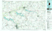 1986 Wabash1986 Print · USGSThe Wabash Valley and surrounding Indiana farm country are captured here in the mid-eighties, showing a landscape reshaped by major reservoirs. Genealogists and local historians can trace the paths of the Old Indian Trail and the industrial reach of the Conrail line through towns like Lagro and Warren.2 unique versions available
 - 1994 Map of Fort Wayne
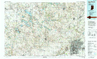 1994 Fort Wayne1994 Print · USGSNortheast Indiana in the mid-nineties shows a landscape deeply tied to its glacial lakes and early rail networks. Genealogists and historians can trace old transit lines like the Old Ind RR and explore lakeside settlements such as Enchanted Hills and Syracuse.
 - 1998 Map of Fort Wayne West, 2001 Print
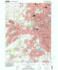 1998 Fort Wayne West2001 Print · USGSFort Wayne's western expansion in the late twentieth century is documented here as urban neighborhoods began to merge with rural townships. Genealogists and local historians can trace family locations through numerous sites like Lindenwood Cemetery, Waynedale, and St Vincents Orphan Home.
 - 1998 Map of Fort Wayne East, 2001 Print
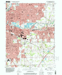 1998 Fort Wayne East2001 Print · USGSFort Wayne and its eastern suburbs are captured here in the late nineties, showcasing the city's significant post-war expansion. Genealogists and local historians can trace residential growth in Anthony Wayne Village or locate landmarks like Concordia Sem and the IOOF Cem.
End of results
Showing maps 1-19 of 19
Top cities near Fort Wayne
- Aboite historical maps
- New Haven historical maps
- Ossian historical maps
- Leo-Cedarville historical maps
- Huntertown historical maps
- Churubusco historical maps
See more
Top neighborhoods of Fort Wayne
- Wallen historical maps
- Times Corner historical maps
- Indian Village historical maps
- Brierwood Hills historical maps
- Northcrest historical maps
- Country Club Gardens historical maps
See more
Frequently asked questions
- What are the different types of historical maps available for Fort Wayne?
- What is the oldest map of Fort Wayne?
- Where can I purchase historical maps of Fort Wayne for my home or office?
- Where can I download high-res historical maps of Fort Wayne?
- Are there historical topographic maps available for Fort Wayne?
- Is there historical aerial imagery available for Fort Wayne?
- Where are historical maps of Fort Wayne sourced from?