Old Maps of Leo-Cedarville, Indiana for Genealogy
Trace your family roots with 19 historic maps of Leo-Cedarville. These high-res maps reveal old neighborhoods, homesites, landmarks, and streets — helping you uncover where your ancestors lived and how the area evolved over time.
- Explore historic neighborhoods: Identify where your relatives may have lived in the 1800s or 1900s.
- Compare maps over time: Trace the changes in streets, buildings, and landmarks for multi-generational research.
- Perfect for genealogy & ancestry research: Used by family historians and researchers to map out lineage and migration.
These maps are an incredible resource for exploring your personal connection to Leo-Cedarville's past.
Leo-Cedarville, IN maps
(19)- 1953 Map of Fort Wayne, 1963 Print
 1953 Fort Wayne1963 Print · USGSNortheast Indiana and its neighboring borderlands in Michigan and Ohio appear here during a peak era of rail and road expansion. Researchers can trace the massive rail networks of the Nickel Plate Road and Wabash or locate lakeside landmarks like Lake Wawasee and Clear Lake.4 unique versions available
 - 1956 Map of Fort Wayne
 1956 Fort Wayne1956 Print · USGSThe tri-state borderlands of Indiana, Michigan, and Ohio are captured here in the mid-fifties, centered on the growing industrial hub of Fort Wayne. Researchers can trace the heavy rail lines of the New York Central and Pennsylvania alongside prominent water features like Lake Wawasee and the Maumee River.2 unique versions available
 - 1956 Map of Cedarville, 1958 Print
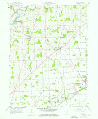
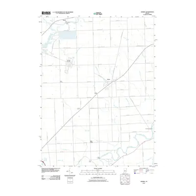
 1956 Cedarville1958 Print · USGSAllen County’s river valleys and growing suburbs come into focus during the mid-fifties as infrastructure like the Cedarville Reservoir transformed the local landscape. Genealogists and historians can trace institutional sites like Sr Concordia College and old family-named landmarks like Viberg Ch Cem.
 - 1958 Map of Grabill, 1959 Print
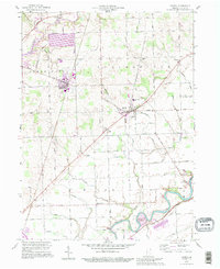
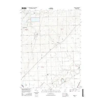
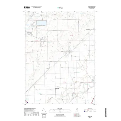
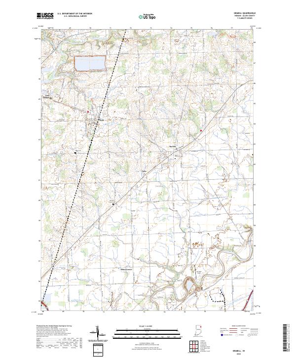
 1958 Grabill1959 Print · USGSAllen County farm country and small-town life are documented here in the late fifties. Genealogists and researchers can trace family roots through Grabill, Harlan, and the Salem Cem Ch, or follow the path of the old Wabash and Erie Canal.3 unique versions available
 - 1963 Map of Cedarville, 1965 Print
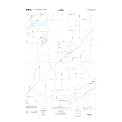
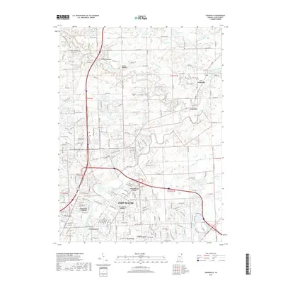
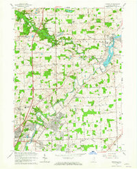 1963 Cedarville1965 Print · USGSIn the early sixties, the Allen County countryside northeast of Fort Wayne was rapidly evolving from agricultural land to residential neighborhoods. Trace family roots and land use near Cedarville and Leo at sites like Robinson Chapel, Viberg Chapel, and the Concordia Senior College campus.3 unique versions available
 - 1984 Map of Fort Wayne, 1985 Print
 1984 Fort Wayne1985 Print · USGSNortheast Indiana in the mid-1980s reveals a complex landscape of glacial lakes, thriving college towns, and heavy rail infrastructure. Researchers can trace the development of Winona Lake, locate Manchester College in North Manchester, and find rural landmarks like Oakwood Cem or the Tri-County State Fish and Game Area.
 - 1986 Map of Defiance, 1992 Print
 1986 Defiance1992 Print · USGSNorthwest Ohio and Eastern Indiana appear in the late eighties as a landscape shaped by significant river confluences and rail corridors. Researchers can trace the layout of local towns and landmarks like Defiance College, Forest Hill Cem, and the path of the Norfolk and Western RR.
 - 1992 Map of Grabill, 1995 Print
 1992 Grabill1995 Print · USGSNortheast Indiana's agricultural heartland is documented here in the final decade of the twentieth century, showing the established rail and river towns of Allen County. Family historians can locate family-named sites like Barnett Cem and rural centers such as Grabill and Milan Center.
 - 1994 Map of Fort Wayne
 1994 Fort Wayne1994 Print · USGSNortheast Indiana in the mid-nineties shows a landscape deeply tied to its glacial lakes and early rail networks. Genealogists and historians can trace old transit lines like the Old Ind RR and explore lakeside settlements such as Enchanted Hills and Syracuse.
 - 2010 Map of Cedarville, 2010 Print
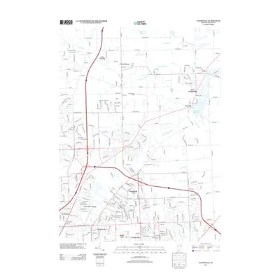
 2010 Cedarville2010 Print · USGSCovers Leo-Cedarville, including Fort Wayne, Crestwood, and other nearby areas
 - 2010 Map of Grabill, 2010 Print
 2010 Grabill2010 Print · USGSCovers Leo-Cedarville, including Grabill, Milan Center, and other nearby areas
 - 2013 Map of Grabill, 2013 Print
 2013 Grabill2013 Print · USGSCovers Leo-Cedarville, including Grabill, Milan Center, and other nearby areas
 - 2013 Map of Cedarville, 2013 Print
 2013 Cedarville2013 Print · USGSCovers Leo-Cedarville, including Fort Wayne, Crestwood, and other nearby areas
 - 2016 Map of Cedarville, 2016 Print
 2016 Cedarville2016 Print · USGSCovers Leo-Cedarville, including Fort Wayne, Crestwood, and other nearby areas
 - 2016 Map of Grabill, 2016 Print
 2016 Grabill2016 Print · USGSCovers Leo-Cedarville, including Grabill, Milan Center, and other nearby areas
 - 2019 Map of Cedarville, 2019 Print
 2019 Cedarville2019 Print · USGSCovers Leo-Cedarville, including Fort Wayne, Crestwood, and other nearby areas
 - 2019 Map of Grabill, 2019 Print
 2019 Grabill2019 Print · USGSCovers Leo-Cedarville, including Grabill, Milan Center, and other nearby areas
 - 2022 Map of Grabill, 2022 Print
 2022 Grabill2022 Print · USGSNortheast Allen County is shown here in the early 2020s, defined by the winding Saint Joseph River and the rural hubs of Grabill and Harlan. Researchers can trace local lineage at Harlan Memorial Cem or explore the massive Hurshtown Reservoir and its surrounding trail systems.
 - 2022 Map of Cedarville, 2022 Print
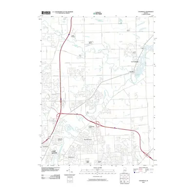
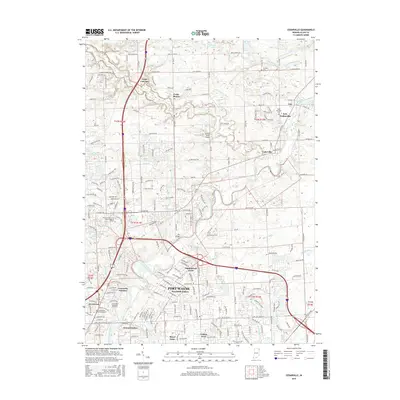
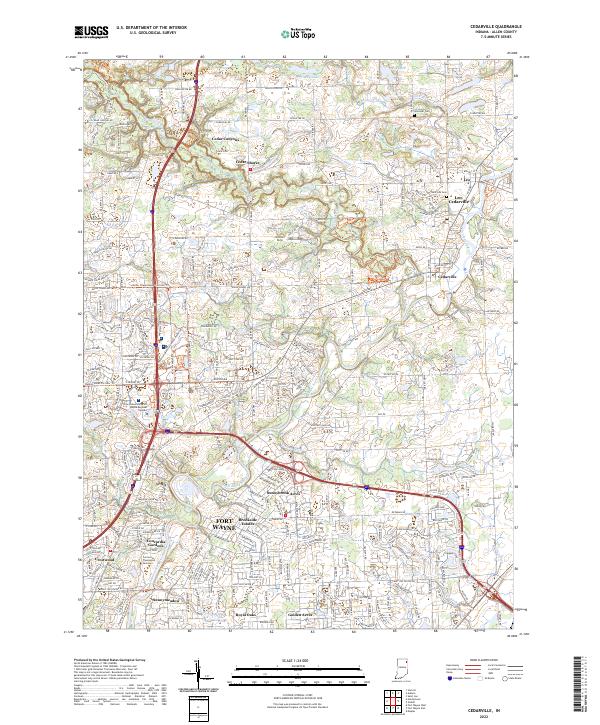 2022 Cedarville2022 Print · USGSThe northern fringes of Fort Wayne and the quiet loops of the Saint Joseph River are captured here in the early 2020s. Researchers can trace the layout of Leo-Cedarville or locate local landmarks like the Concordia Theological Seminary and Schlatter Cem.
End of results
Showing maps 1-19 of 19
Top cities near Leo-Cedarville
- Fort Wayne historical maps
- New Haven historical maps
- Auburn historical maps
- Kendallville historical maps
- Garrett historical maps
- Butler historical maps
See more
Frequently asked questions
- What are the different types of historical maps available for Leo-Cedarville?
- What is the oldest map of Leo-Cedarville?
- Where can I purchase historical maps of Leo-Cedarville for my home or office?
- Where can I download high-res historical maps of Leo-Cedarville?
- Are there historical topographic maps available for Leo-Cedarville?
- Is there historical aerial imagery available for Leo-Cedarville?
- Where are historical maps of Leo-Cedarville sourced from?