Old Maps of Clifford, Indiana for Hiking & Exploration
Hike through history with 13 historic maps of Clifford. Explore old trails, ghost towns, and forgotten backroads — perfect for outdoor adventurers and local explorers.
- Rediscover forgotten places: Map out old mining camps, roads, and footpaths that no longer exist on modern maps.
- Layer with modern tools: Combine with LiDAR or satellite views to plan hikes through historical terrain.
- Made for exploration: Popular among hikers, overlanders, and local history lovers.
Use these maps to find adventure and explore the hidden past of Clifford.
Clifford, IN maps
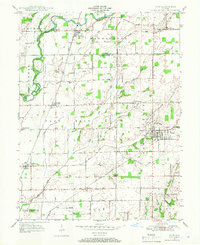
(13)- 1942 Map of Columbus
 1942 Columbus1942 Print · USGSBartholomew and Shelby counties are shown during the early years of the war, as military installations and rail lines reshaped the rural Indiana landscape. Genealogists can trace family-named sites and established communities like St Louis Crossing, Hope, and the sprawling Camp Atterbury.
 - 1947 Map of Hope, 1966 Print
 1947 Hope1966 Print · USGSBartholomew County and the surrounding townships are captured in the late 1940s as a thriving rail-and-river agricultural landscape. Researchers can trace family roots through the Moravian Cem in Hope or locate older communities like Old St Louis and Norristown.
 - 1948 Map of Hope
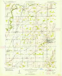 1948 Hope1948 Print · USGSBartholomew County enters the late 1940s as a thriving agricultural region defined by its rail junctions and numerous small settlements. Genealogists and historians can trace family locations through Moravian Cem, Flat Rock, and the unique dual sites of Old St Louis and St Louis Crossing.2 unique versions available
 - 1950 Map of Edinburg
 1950 Edinburg1950 Print · USGSMid-century Shelby and Bartholomew Counties are captured here as the military presence at Atterbury meets a deeply rooted farming landscape. Researchers can locate dozens of country landmarks like Jollity Church, Tennehill Bridge, and the Shelby Township School.2 unique versions available
 - 1953 Map of Cincinnati, 1965 Print
 1953 Cincinnati1965 Print · USGSThe Ohio River valley and the industrial heartland of Indiana and Ohio are captured here during the mid-century peak of rail and river commerce. Genealogists and historians can trace connections between Cincinnati and outlying military sites like Camp Atterbury and Bakalar AFB.3 unique versions available
 - 1957 Map of Cincinnati
 1957 Cincinnati1957 Print · USGSThe Ohio River valley and its surrounding highlands thrived during the mid-fifties industrial peak, centered on the bustling Cincinnati and Dayton metropolitan hubs. Researchers can trace the extensive rail networks and military sites like Wright-Patterson AFB and Camp Atterbury.
 - 1968 Map of Hope, 1970 Print
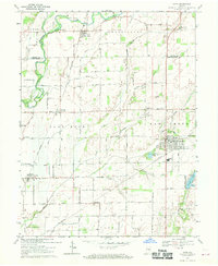 1968 Hope1970 Print · USGSBartholomew and Shelby counties meet here in the late sixties, where the Flatrock River valley supports a network of rail-side towns and rural townships. Trace family roots at Old St Louis Cemetery or explore the settlements of Flat Rock and Hope.3 unique versions available
 - 1986 Map of Greensburg
 1986 Greensburg1986 Print · USGSSoutheastern Indiana in the mid-eighties shows a balance of growing industrial centers and deeply rooted rural communities. Family historians can trace landmarks like the Highland Center School, South Park Cemetery, and the Bartholomew County Courthouse among the river forks.2 unique versions available
 - 2010 Map of Hope, 2010 Print
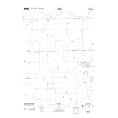
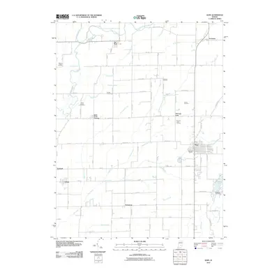 2010 Hope2010 Print · USGSCovers Clifford, including Hope, Flat Rock, and other nearby areas
 - 2013 Map of Hope, 2013 Print
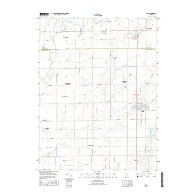
 2013 Hope2013 Print · USGSCovers Clifford, including Hope, Flat Rock, and other nearby areas
 - 2016 Map of Hope, 2016 Print
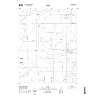
 2016 Hope2016 Print · USGSCovers Clifford, including Hope, Flat Rock, and other nearby areas
 - 2019 Map of Hope, 2019 Print
 2019 Hope2019 Print · USGSCovers Clifford, including Hope, Flat Rock, and other nearby areas
 - 2022 Map of Hope, 2022 Print
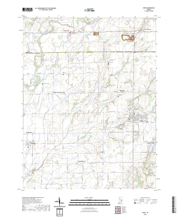 2022 Hope2022 Print · USGSBartholomew County farm country and the established town of Hope are captured in this modern survey. Genealogists can locate family burial sites like Moravian Cem and Simmons Cem or trace the early settlements of Old Saint Louis and Flat Rock.
End of results
Showing maps 1-13 of 13
Top cities near Clifford
- Columbus historical maps
- Franklin historical maps
- Shelbyville historical maps
- Nineveh historical maps
- Hope historical maps
- Princes Lakes historical maps
See more
Frequently asked questions
- What are the different types of historical maps available for Clifford?
- What is the oldest map of Clifford?
- Where can I purchase historical maps of Clifford for my home or office?
- Where can I download high-res historical maps of Clifford?
- Are there historical topographic maps available for Clifford?
- Is there historical aerial imagery available for Clifford?
- Where are historical maps of Clifford sourced from?