2000s (21st Century) Maps of Sellersburg, Indiana
Explore 20 historic maps of Sellersburg from the 2000s (21st Century). These maps offer a rare glimpse into what life looked like during the 2000s — showing old roads, neighborhoods, homes, and landmarks that have changed or disappeared over time.
Whether you're researching your family's past, planning a metal detecting trip, or studying how Sellersburg's landscape evolved across the 2000s, these high-resolution maps are a powerful tool for exploring the history of this region.
- Focus on a specific era: All maps on this page are from the 2000s, giving you a focused view of this time period.
- See what’s changed: Compare century-old streets, trails, and buildings to today's modern landscape using overlays and satellite layers.
- Research with precision: Use these maps for genealogy, historical research, land use analysis, or educational projects.
- View, download, or print: Maps are fully viewable online in high resolution, and can be downloaded or printed for your own records.
Start exploring Sellersburg's history through authentic maps from the 2000s. This is your window into the past.
Sellersburg, IN maps
(20)- 2010 Map of Charlestown, 2010 Print
 2010 Charlestown2010 Print · USGSCovers Sellersburg, including Louisville, Jeffersonville, and other nearby areas
 - 2010 Map of New Albany, 2010 Print
 2010 New Albany2010 Print · USGSCovers Sellersburg, including Louisville, Jeffersonville, and other nearby areas
 - 2010 Map of Jeffersonville, 2010 Print
 2010 Jeffersonville2010 Print · USGSCovers Sellersburg, including Louisville, Jeffersonville, and other nearby areas
 - 2010 Map of Speed, 2010 Print
 2010 Speed2010 Print · USGSCovers Sellersburg, including Clarksville, Wilson, and other nearby areas
 - 2013 Map of Speed, 2013 Print
 2013 Speed2013 Print · USGSCovers Sellersburg, including Clarksville, Wilson, and other nearby areas
 - 2013 Map of Charlestown, 2013 Print
 2013 Charlestown2013 Print · USGSCovers Sellersburg, including Louisville, Jeffersonville, and other nearby areas
 - 2013 Map of Jeffersonville, 2013 Print
 2013 Jeffersonville2013 Print · USGSCovers Sellersburg, including Louisville, Jeffersonville, and other nearby areas
 - 2013 Map of New Albany, 2013 Print
 2013 New Albany2013 Print · USGSCovers Sellersburg, including Louisville, Jeffersonville, and other nearby areas
 - 2016 Map of Charlestown, 2016 Print
 2016 Charlestown2016 Print · USGSCovers Sellersburg, including Louisville, Jeffersonville, and other nearby areas
 - 2016 Map of Speed, 2016 Print
 2016 Speed2016 Print · USGSCovers Sellersburg, including Clarksville, Wilson, and other nearby areas
 - 2016 Map of New Albany, 2016 Print
 2016 New Albany2016 Print · USGSCovers Sellersburg, including Louisville, Jeffersonville, and other nearby areas
 - 2016 Map of Jeffersonville, 2016 Print
 2016 Jeffersonville2016 Print · USGSCovers Sellersburg, including Louisville, Jeffersonville, and other nearby areas
 - 2019 Map of Charlestown, 2019 Print
 2019 Charlestown2019 Print · USGSCovers Sellersburg, including Louisville, Jeffersonville, and other nearby areas
 - 2019 Map of Speed, 2019 Print
 2019 Speed2019 Print · USGSCovers Sellersburg, including Clarksville, Wilson, and other nearby areas
 - 2019 Map of New Albany, 2019 Print
 2019 New Albany2019 Print · USGSCovers Sellersburg, including Louisville, Jeffersonville, and other nearby areas
 - 2019 Map of Jeffersonville, 2019 Print
 2019 Jeffersonville2019 Print · USGSCovers Sellersburg, including Louisville, Jeffersonville, and other nearby areas
 - 2022 Map of Charlestown, 2022 Print
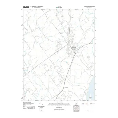
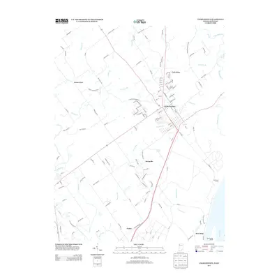
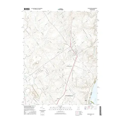
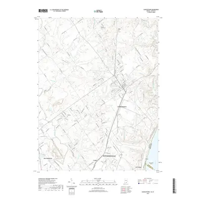
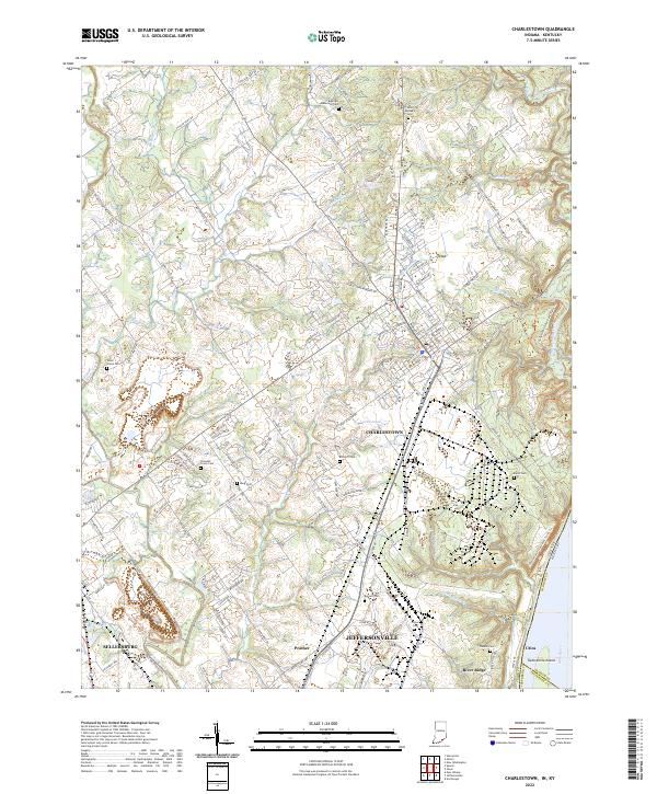 2022 Charlestown2022 Print · USGSSouthern Indiana's riverfront and upland communities come into focus in the early 2020s as suburban growth reaches toward the Ohio River. Genealogists can trace family heritage through numerous burial sites including Saint Michaels Cem, Bottorff Cem, and Friends Cem.
 - 2022 Map of Speed, 2022 Print
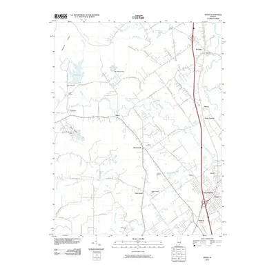
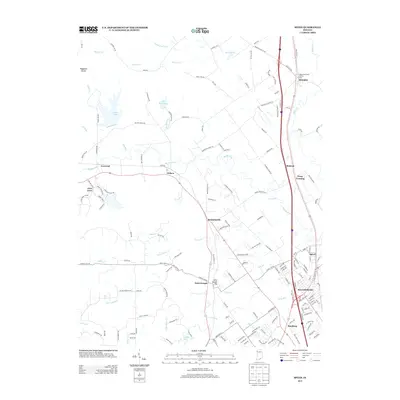
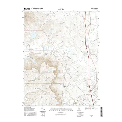
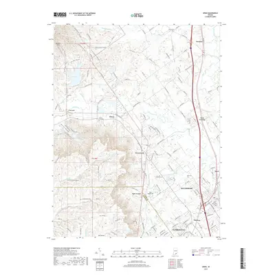
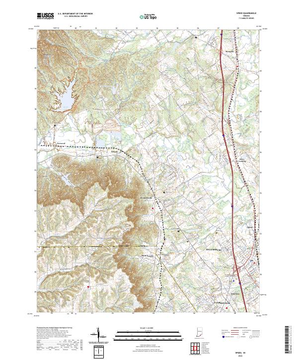 2022 Speed2022 Print · USGSSellersburg and the surrounding Clark County hills are shown here in the early 2020s as suburban growth meets the knobs. Researchers can trace local lineage through several family burial grounds like Smith Cem and Hendrick Cem or follow the path of the L & I RR.
 - 2022 Map of Jeffersonville, 2022 Print
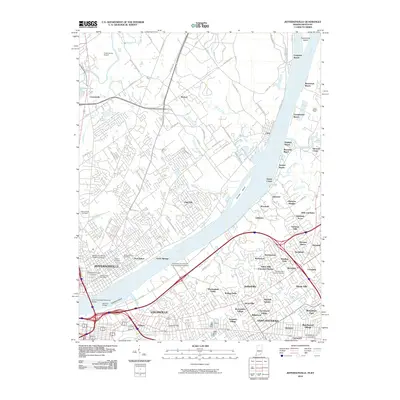
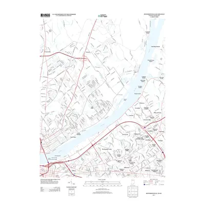
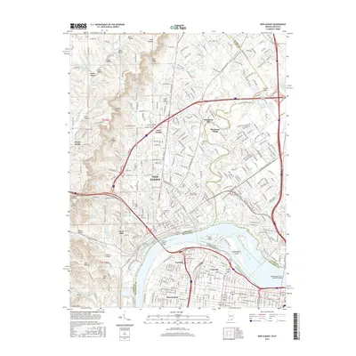
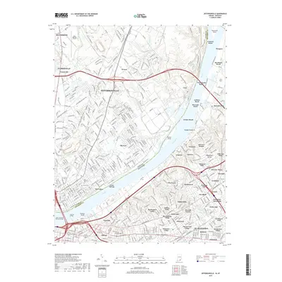
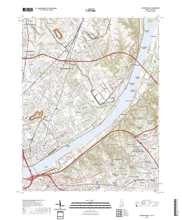 2022 Jeffersonville2022 Print · USGSThe riverfront communities of Indiana and Kentucky are shown here in the early twenty-first century as they flank the Ohio River. Researchers can trace local landmarks and neighborhood growth from the Clark County Government Building to family plots at Walnut Ridge Cem and Saint Anthonys Cem.
 - 2023 Map of New Albany, 2023 Print
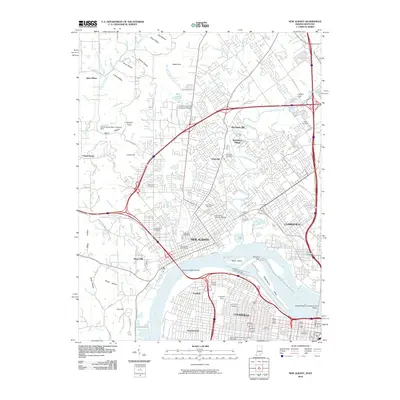
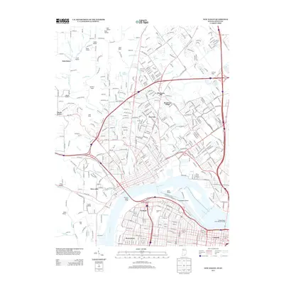
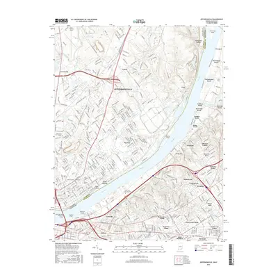
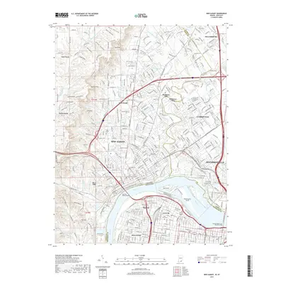
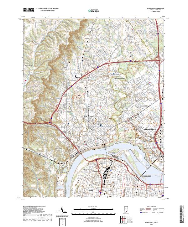 2023 New Albany2023 Print · USGSNew Albany and the northern edge of Louisville are shown here in the 2020s, highlighting the enduring river-and-rail geography of the Ohio River. Researchers can locate many historic burial sites and civic landmarks, from the New Albany National Cemetery to the Floyd County Courthouse and Portland Cemetery.
End of results
Showing maps 1-20 of 20
Top cities near Sellersburg
- Louisville historical maps
- Jeffersonville historical maps
- New Albany historical maps
- Jeffersontown historical maps
- Clarksville historical maps
- Shively historical maps
See more
Frequently asked questions
- What are the different types of historical maps available for Sellersburg?
- What is the oldest map of Sellersburg?
- Where can I purchase historical maps of Sellersburg for my home or office?
- Where can I download high-res historical maps of Sellersburg?
- Are there historical topographic maps available for Sellersburg?
- Is there historical aerial imagery available for Sellersburg?
- Where are historical maps of Sellersburg sourced from?