Old Maps of Garrett, Indiana for Academic Research
Study the evolution of Garrett with 18 high-resolution historic maps. Whether you're teaching, researching, or modeling changes in land use, these maps provide essential visual documentation of urban, environmental, and geographic change.
- Analyze long-term change: Track patterns in development, transportation, and natural features.
- Ideal for environmental or urban studies: Support academic projects with primary historical map data.
- Use in the classroom or lab: Educators and researchers rely on these maps to bring historical context to life.
These maps are a powerful tool for teaching, research, and visualizing how Garrett has changed over the decades.
Garrett, IN maps
(18)- 1953 Map of Fort Wayne, 1963 Print
 1953 Fort Wayne1963 Print · USGSNortheast Indiana and its neighboring borderlands in Michigan and Ohio appear here during a peak era of rail and road expansion. Researchers can trace the massive rail networks of the Nickel Plate Road and Wabash or locate lakeside landmarks like Lake Wawasee and Clear Lake.4 unique versions available
 - 1956 Map of Fort Wayne
 1956 Fort Wayne1956 Print · USGSThe tri-state borderlands of Indiana, Michigan, and Ohio are captured here in the mid-fifties, centered on the growing industrial hub of Fort Wayne. Researchers can trace the heavy rail lines of the New York Central and Pennsylvania alongside prominent water features like Lake Wawasee and the Maumee River.2 unique versions available
 - 1957 Map of Auburn, 1959 Print
 1957 Auburn1959 Print · USGSDeKalb County in the late fifties is a landscape defined by its vital rail junctions and organized farm townships. Genealogists can trace family names and sites across Auburn Junction, Roselawn Cem, and rural schoolhouses like Harrison Sch.
 - 1957 Map of Garrett, 1959 Print
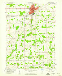
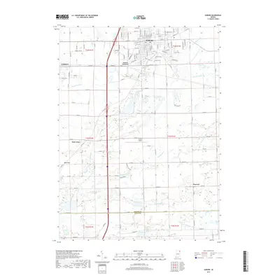
 1957 Garrett1959 Print · USGSDeKalb and Noble County landscapes converge here in the late fifties, showcasing a robust railroad economy centered on Garrett. Genealogists and local historians can trace rural family roots through landmarks like Bethlehem Ch, Fitch, and the Swan Cem.
 - 1973 Map of Garrett, 1974 Print
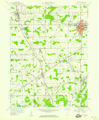
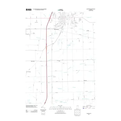
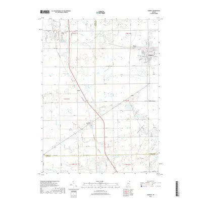
 1973 Garrett1974 Print · USGSIn the early 1970s, the industrial rail center of Garrett and its neighboring agricultural townships were defined by the Penn Central line. Genealogists and local historians can trace family-named sites like Swan Cem and Embrey Cem, or locate landmarks such as Bethlehem Ch and the Old Railroad Grade near Altona.
 - 1973 Map of Auburn, 1975 Print
 1973 Auburn1975 Print · USGSAuburn and the surrounding DeKalb County townships are captured here in the early seventies, showcasing a thriving hub of rail and agriculture. Genealogists and local historians can trace family locations near Harrison Sch, Roselawn Cem, or the rural crossroads of Saint Johns and New Era.2 unique versions available
 - 1984 Map of Fort Wayne, 1985 Print
 1984 Fort Wayne1985 Print · USGSNortheast Indiana in the mid-1980s reveals a complex landscape of glacial lakes, thriving college towns, and heavy rail infrastructure. Researchers can trace the development of Winona Lake, locate Manchester College in North Manchester, and find rural landmarks like Oakwood Cem or the Tri-County State Fish and Game Area.
 - 1994 Map of Fort Wayne
 1994 Fort Wayne1994 Print · USGSNortheast Indiana in the mid-nineties shows a landscape deeply tied to its glacial lakes and early rail networks. Genealogists and historians can trace old transit lines like the Old Ind RR and explore lakeside settlements such as Enchanted Hills and Syracuse.
 - 2010 Map of Auburn, 2010 Print
 2010 Auburn2010 Print · USGSCovers Garrett, including Auburn, Auburn Junction, and other nearby areas
 - 2010 Map of Garrett, 2010 Print
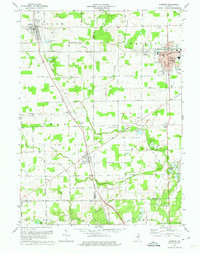
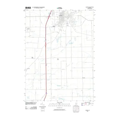
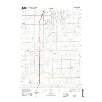
 2010 Garrett2010 Print · USGSCovers Garrett, including Avilla, Swan, and other nearby areas
 - 2013 Map of Garrett, 2013 Print
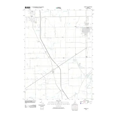
 2013 Garrett2013 Print · USGSCovers Garrett, including Avilla, Swan, and other nearby areas
 - 2013 Map of Auburn, 2013 Print
 2013 Auburn2013 Print · USGSCovers Garrett, including Auburn, Auburn Junction, and other nearby areas
 - 2016 Map of Auburn, 2016 Print
 2016 Auburn2016 Print · USGSCovers Garrett, including Auburn, Auburn Junction, and other nearby areas
 - 2016 Map of Garrett, 2016 Print
 2016 Garrett2016 Print · USGSCovers Garrett, including Avilla, Swan, and other nearby areas
 - 2019 Map of Auburn, 2019 Print
 2019 Auburn2019 Print · USGSCovers Garrett, including Auburn, Auburn Junction, and other nearby areas
 - 2019 Map of Garrett, 2019 Print
 2019 Garrett2019 Print · USGSCovers Garrett, including Avilla, Swan, and other nearby areas
 - 2022 Map of Garrett, 2022 Print
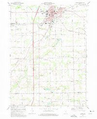
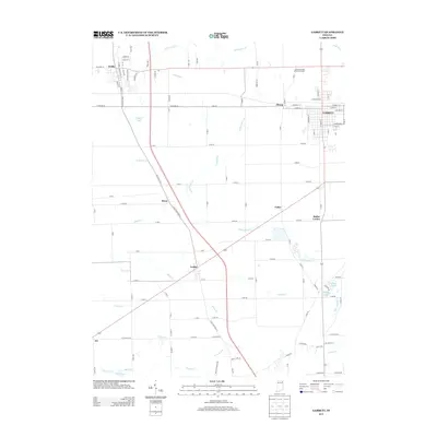
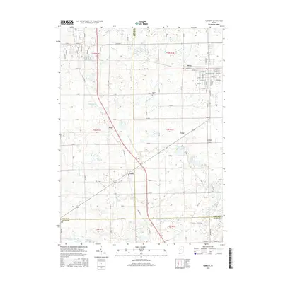
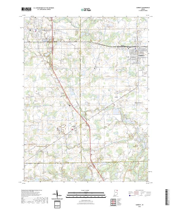 2022 Garrett2022 Print · USGSDeKalb and Noble counties come into focus in the early 2020s, showcasing a landscape defined by organized drainage and tight-knit crossroads. Researchers can trace family history at Calvary Cem, explore the residential layout of Altona, or locate the small settlement of Butler Center.
 - 2022 Map of Auburn, 2022 Print
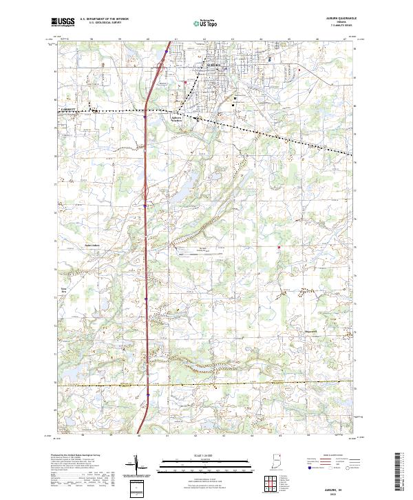 2022 Auburn2022 Print · USGSDeKalb County enters the 2020s as a hub of municipal growth and complex drainage systems. Researchers can trace the layout of Auburn and Garrett, alongside smaller locales like New Era and landmarks such as the DeKalb County Courthouse.
End of results
Showing maps 1-18 of 18
Top cities near Garrett
- Fort Wayne historical maps
- Auburn historical maps
- Kendallville historical maps
- Leo-Cedarville historical maps
- Butler historical maps
- Avilla historical maps
See more
Frequently asked questions
- What are the different types of historical maps available for Garrett?
- What is the oldest map of Garrett?
- Where can I purchase historical maps of Garrett for my home or office?
- Where can I download high-res historical maps of Garrett?
- Are there historical topographic maps available for Garrett?
- Is there historical aerial imagery available for Garrett?
- Where are historical maps of Garrett sourced from?