Old Maps of Blooming Grove, Indiana for Genealogy
Trace your family roots with 10 historic maps of Blooming Grove. These high-res maps reveal old neighborhoods, homesites, landmarks, and streets — helping you uncover where your ancestors lived and how the area evolved over time.
- Explore historic neighborhoods: Identify where your relatives may have lived in the 1800s or 1900s.
- Compare maps over time: Trace the changes in streets, buildings, and landmarks for multi-generational research.
- Perfect for genealogy & ancestry research: Used by family historians and researchers to map out lineage and migration.
These maps are an incredible resource for exploring your personal connection to Blooming Grove's past.
Blooming Grove, IN maps
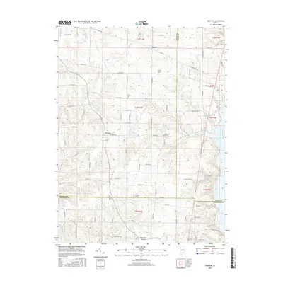
(10)- 1953 Map of Cincinnati, 1965 Print
 1953 Cincinnati1965 Print · USGSThe Ohio River valley and the industrial heartland of Indiana and Ohio are captured here during the mid-century peak of rail and river commerce. Genealogists and historians can trace connections between Cincinnati and outlying military sites like Camp Atterbury and Bakalar AFB.3 unique versions available
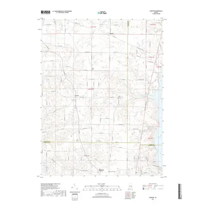
 - 1956 Map of Everton, 1957 Print
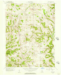 1956 Everton1957 Print · USGSThe crossroads of Fayette and Franklin counties are frozen in time here during the mid-fifties, capturing a landscape of established family farms and creek-bottom timber. Genealogists can locate family landmarks like Pettigrew Cem, the Duck Creek Stone Chapel, and the historic Greenville Treaty Line.
 - 1957 Map of Cincinnati
 1957 Cincinnati1957 Print · USGSThe Ohio River valley and its surrounding highlands thrived during the mid-fifties industrial peak, centered on the bustling Cincinnati and Dayton metropolitan hubs. Researchers can trace the extensive rail networks and military sites like Wright-Patterson AFB and Camp Atterbury.
 - 1972 Map of Everton, 1973 Print
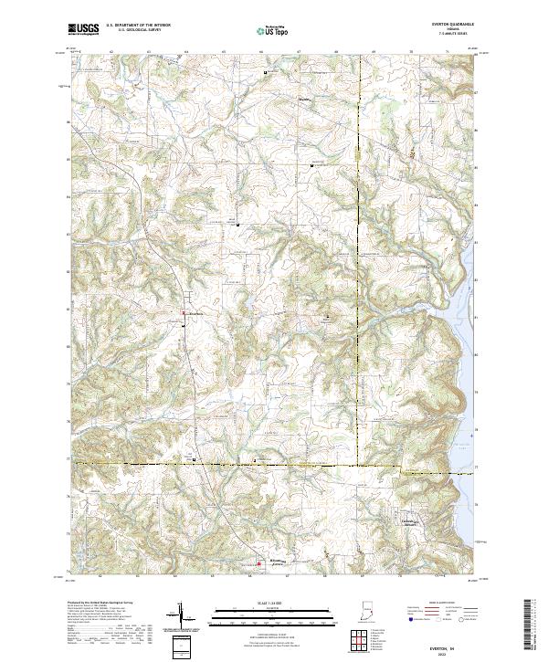
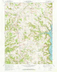 1972 Everton1973 Print · USGSThe rural borderlands of Fayette, Franklin, and Union counties are detailed here during the early seventies. Genealogists can locate family-named landmarks like Mt Garrison Cem and the Little Children Home, or trace the path of Village Creek.4 unique versions available
 - 1986 Map of New Castle
 1986 New Castle1986 Print · USGSEast Central Indiana remains a patchwork of thriving county seats and rail-side hamlets in the mid-eighties. Genealogists and historians can locate family landmarks such as East Hill Cemetery, Little Blue River Church, and the transit lines of the CONRAIL railroad.2 unique versions available
 - 2010 Map of Everton, 2010 Print
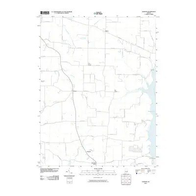 2010 Everton2010 Print · USGSCovers Blooming Grove, including Pinhook, Everton, and other nearby areas
 - 2013 Map of Everton, 2013 Print
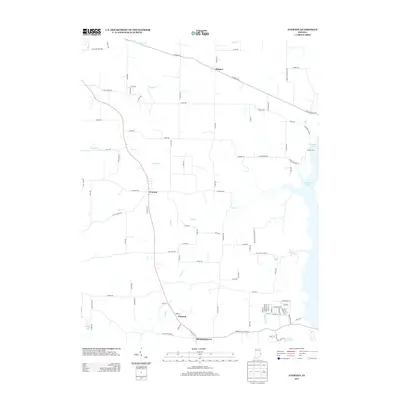 2013 Everton2013 Print · USGSCovers Blooming Grove, including Pinhook, Everton, and other nearby areas
 - 2016 Map of Everton, 2016 Print
 2016 Everton2016 Print · USGSCovers Blooming Grove, including Pinhook, Everton, and other nearby areas
 - 2019 Map of Everton, 2019 Print
 2019 Everton2019 Print · USGSCovers Blooming Grove, including Pinhook, Everton, and other nearby areas
 - 2022 Map of Everton, 2022 Print
 2022 Everton2022 Print · USGSThe Fayette County uplands meet the waters of Brookville Lake in this contemporary survey of southeastern Indiana. Researchers can trace rural lineages through numerous local sites like Everton Cem, Poplar Ridge Cem, and the settlement of Alquina.
End of results
Showing maps 1-10 of 10
Top cities near Blooming Grove
- Connersville historical maps
- Batesville historical maps
- Brookville historical maps
- Liberty historical maps
- Columbia historical maps
- Brownsville historical maps
See more
Frequently asked questions
- What are the different types of historical maps available for Blooming Grove?
- What is the oldest map of Blooming Grove?
- Where can I purchase historical maps of Blooming Grove for my home or office?
- Where can I download high-res historical maps of Blooming Grove?
- Are there historical topographic maps available for Blooming Grove?
- Is there historical aerial imagery available for Blooming Grove?
- Where are historical maps of Blooming Grove sourced from?