Old Maps of Cedar Grove, Indiana for Hiking & Exploration
Hike through history with 11 historic maps of Cedar Grove. Explore old trails, ghost towns, and forgotten backroads — perfect for outdoor adventurers and local explorers.
- Rediscover forgotten places: Map out old mining camps, roads, and footpaths that no longer exist on modern maps.
- Layer with modern tools: Combine with LiDAR or satellite views to plan hikes through historical terrain.
- Made for exploration: Popular among hikers, overlanders, and local history lovers.
Use these maps to find adventure and explore the hidden past of Cedar Grove.
Cedar Grove, IN maps
(11)- 1915 Map of Harrison
 1915 Harrison1915 Print · USGSThe Indiana-Ohio borderlands come into focus during the mid-teens, showing a landscape of river-valley settlements and rural school districts. Genealogists can locate family landmarks like Vannatta School, Davis School, and the village of Okeana along the Dry Fork.
 - 1953 Map of Cincinnati, 1965 Print
 1953 Cincinnati1965 Print · USGSThe Ohio River valley and the industrial heartland of Indiana and Ohio are captured here during the mid-century peak of rail and river commerce. Genealogists and historians can trace connections between Cincinnati and outlying military sites like Camp Atterbury and Bakalar AFB.3 unique versions available
 - 1955 Map of Cedar Grove, 1957 Print
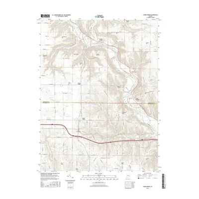
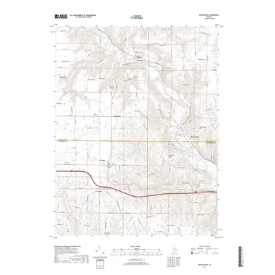
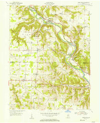 1955 Cedar Grove1957 Print · USGSThe Whitewater River valley in the mid-1950s reveals a network of riverside rail towns and upland farmsteads. Trace the paths of the New York Central Line through New Trenton and locate family landmarks like St Paul Cem Ch.
 - 1957 Map of Cincinnati
 1957 Cincinnati1957 Print · USGSThe Ohio River valley and its surrounding highlands thrived during the mid-fifties industrial peak, centered on the bustling Cincinnati and Dayton metropolitan hubs. Researchers can trace the extensive rail networks and military sites like Wright-Patterson AFB and Camp Atterbury.
 - 1974 Map of Cedar Grove, 1975 Print
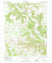 1974 Cedar Grove1975 Print · USGSThe Whitewater River valley in the mid-1970s shows a landscape of riverfront rail towns and high ridge farms. Researchers can trace family sites near Saint Leon or locate local landmarks like Smyrna Ch and the Penn Central railroad line.4 unique versions available
 - 1986 Map of Cincinnati
 1986 Cincinnati1986 Print · USGSGreater Cincinnati and its tri-state surrounds are captured here in the mid-eighties as suburban growth reached into the neighboring hills and river valleys. Researchers can trace the development of transit hubs like Greater Cincinnati International Airport and historic sites such as Spring Grove Cemetery.3 unique versions available
 - 2010 Map of Cedar Grove, 2010 Print
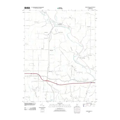 2010 Cedar Grove2010 Print · USGSCovers Cedar Grove, including Saint Leon, New Trenton, and other nearby areas
 - 2013 Map of Cedar Grove, 2013 Print
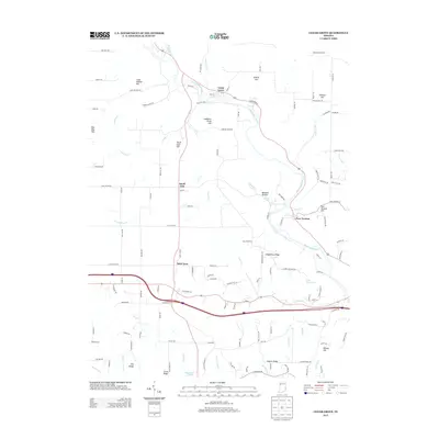 2013 Cedar Grove2013 Print · USGSCovers Cedar Grove, including Saint Leon, New Trenton, and other nearby areas
 - 2016 Map of Cedar Grove, 2016 Print
 2016 Cedar Grove2016 Print · USGSCovers Cedar Grove, including Saint Leon, New Trenton, and other nearby areas
 - 2019 Map of Cedar Grove, 2019 Print
 2019 Cedar Grove2019 Print · USGSCovers Cedar Grove, including Saint Leon, New Trenton, and other nearby areas
 - 2022 Map of Cedar Grove, 2022 Print
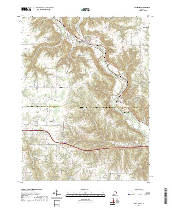 2022 Cedar Grove2022 Print · USGSSoutheastern Indiana's river valleys and ridgelines are captured here in the early twenty-first century as the landscape straddles the Franklin and Dearborn county line. Researchers can locate family roots at Holy Guardian Angels Cem or trace the old paths near Cedar Grove and South Gate.
End of results
Showing maps 1-11 of 11
Top cities near Cedar Grove
- Oxford historical maps
- Harrison historical maps
- Lawrenceburg historical maps
- Greendale historical maps
- Cleves historical maps
- Reily Township historical maps
See more
Frequently asked questions
- What are the different types of historical maps available for Cedar Grove?
- What is the oldest map of Cedar Grove?
- Where can I purchase historical maps of Cedar Grove for my home or office?
- Where can I download high-res historical maps of Cedar Grove?
- Are there historical topographic maps available for Cedar Grove?
- Is there historical aerial imagery available for Cedar Grove?
- Where are historical maps of Cedar Grove sourced from?