Old Maps of Laurel, Indiana for Academic Research
Study the evolution of Laurel with 18 high-resolution historic maps. Whether you're teaching, researching, or modeling changes in land use, these maps provide essential visual documentation of urban, environmental, and geographic change.
- Analyze long-term change: Track patterns in development, transportation, and natural features.
- Ideal for environmental or urban studies: Support academic projects with primary historical map data.
- Use in the classroom or lab: Educators and researchers rely on these maps to bring historical context to life.
These maps are a powerful tool for teaching, research, and visualizing how Laurel has changed over the decades.
Laurel, IN maps
(18)- 1953 Map of Cincinnati, 1965 Print
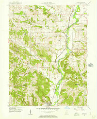
 1953 Cincinnati1965 Print · USGSThe Ohio River valley and the industrial heartland of Indiana and Ohio are captured here during the mid-century peak of rail and river commerce. Genealogists and historians can trace connections between Cincinnati and outlying military sites like Camp Atterbury and Bakalar AFB.3 unique versions available
 - 1956 Map of Alpine, 1957 Print
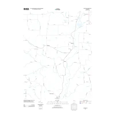
 1956 Alpine1957 Print · USGSFayette and Franklin Counties come into focus in the mid-1950s as the river-and-rail economy defined the Whitewater Valley. Researchers can trace family history at Tullis Chapel Cem and Webb Cem, or locate rural school sites like Nulltown Sch.
 - 1956 Map of Metamora, 1957 Print
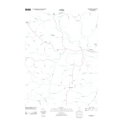
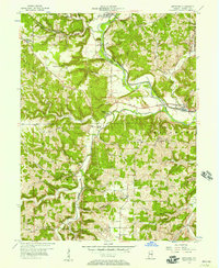 1956 Metamora1957 Print · USGSFranklin County's river-and-rail corridor is captured here in the mid-fifties, centered on the vital valley of the Whitewater River. Researchers can trace the legacy of canal transport and early settlement through landmarks like the Aqueduct, Wiley Indian Mound, and Stipps Hill Ch.
 - 1957 Map of Cincinnati
 1957 Cincinnati1957 Print · USGSThe Ohio River valley and its surrounding highlands thrived during the mid-fifties industrial peak, centered on the bustling Cincinnati and Dayton metropolitan hubs. Researchers can trace the extensive rail networks and military sites like Wright-Patterson AFB and Camp Atterbury.
 - 1971 Map of Alpine, 1973 Print
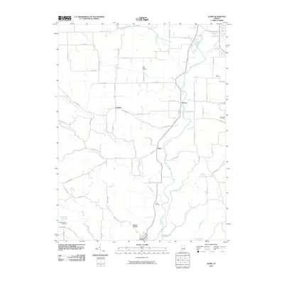
 1971 Alpine1973 Print · USGSFayette and Franklin Counties come together along the river valley in the early seventies, where rail and water dominate the landscape. Researchers can trace the Penn Central tracks through Nulltown, Alpine, and Laurel, or locate family sites at Tullis Chapel Cem.3 unique versions available
 - 1972 Map of Metamora, 1973 Print
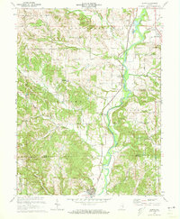
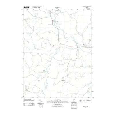
 1972 Metamora1973 Print · USGSFranklin County's river valley and canal history are on display in the early seventies, centered on the transit corridors of the Whitewater River. Researchers can locate historic sites like the Indian Mound, the Aqueduct at Metamora, and several rural burial grounds including St Nicholas Cem.3 unique versions available
 - 1986 Map of Greensburg
 1986 Greensburg1986 Print · USGSSoutheastern Indiana in the mid-eighties shows a balance of growing industrial centers and deeply rooted rural communities. Family historians can trace landmarks like the Highland Center School, South Park Cemetery, and the Bartholomew County Courthouse among the river forks.2 unique versions available
 - 1986 Map of New Castle
 1986 New Castle1986 Print · USGSEast Central Indiana remains a patchwork of thriving county seats and rail-side hamlets in the mid-eighties. Genealogists and historians can locate family landmarks such as East Hill Cemetery, Little Blue River Church, and the transit lines of the CONRAIL railroad.2 unique versions available
 - 2010 Map of Alpine, 2010 Print
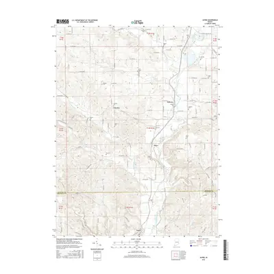
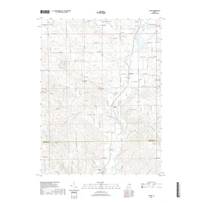
 2010 Alpine2010 Print · USGSCovers Laurel, including Columbia, Nulltown, and other nearby areas
 - 2010 Map of Metamora, 2010 Print
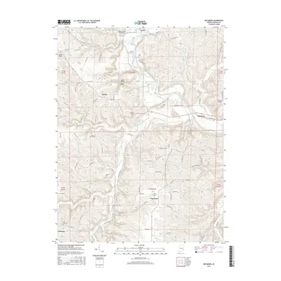
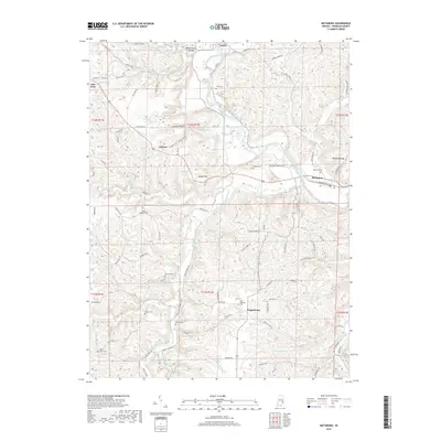
 2010 Metamora2010 Print · USGSCovers Laurel, including Metamora, Midway, and other nearby areas
 - 2013 Map of Alpine, 2013 Print
 2013 Alpine2013 Print · USGSCovers Laurel, including Columbia, Nulltown, and other nearby areas
 - 2013 Map of Metamora, 2013 Print
 2013 Metamora2013 Print · USGSCovers Laurel, including Metamora, Midway, and other nearby areas
 - 2016 Map of Alpine, 2016 Print
 2016 Alpine2016 Print · USGSCovers Laurel, including Columbia, Nulltown, and other nearby areas
 - 2016 Map of Metamora, 2016 Print
 2016 Metamora2016 Print · USGSCovers Laurel, including Metamora, Midway, and other nearby areas
 - 2019 Map of Metamora, 2019 Print
 2019 Metamora2019 Print · USGSCovers Laurel, including Metamora, Midway, and other nearby areas
 - 2019 Map of Alpine, 2019 Print
 2019 Alpine2019 Print · USGSCovers Laurel, including Columbia, Nulltown, and other nearby areas
 - 2022 Map of Metamora, 2022 Print
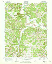
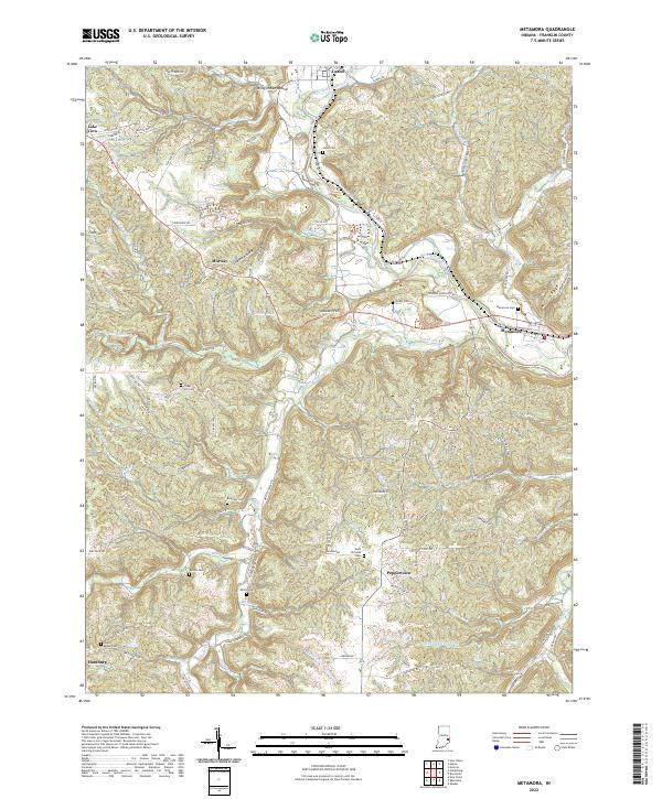 2022 Metamora2022 Print · USGSFranklin County's river valleys and historic canal corridors are preserved in this 2020s survey. Genealogists can trace family heritage through numerous rural burial sites like Metamora Cem, Saint Nicholas Cem, and the ancient Wiley Indian Mound.
 - 2022 Map of Alpine, 2022 Print
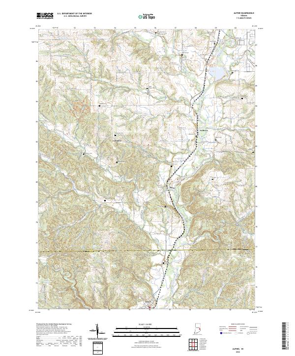 2022 Alpine2022 Print · USGSThe Whitewater River valley south of Connersville is captured here in the early twenty-first century, showing a landscape of riverside villages and upland farms. Genealogists can trace family burial sites across the township, including Tullis Chapel Cem, Halstead Cem, and Wadams Cem.
End of results
Showing maps 1-18 of 18
Top cities near Laurel
- Connersville historical maps
- Batesville historical maps
- Brookville historical maps
- Blooming Grove historical maps
- Columbia historical maps
- Brownsville historical maps
See more
Frequently asked questions
- What are the different types of historical maps available for Laurel?
- What is the oldest map of Laurel?
- Where can I purchase historical maps of Laurel for my home or office?
- Where can I download high-res historical maps of Laurel?
- Are there historical topographic maps available for Laurel?
- Is there historical aerial imagery available for Laurel?
- Where are historical maps of Laurel sourced from?