Old Maps of Van Buren, Indiana for Genealogy
Trace your family roots with 16 historic maps of Van Buren. These high-res maps reveal old neighborhoods, homesites, landmarks, and streets — helping you uncover where your ancestors lived and how the area evolved over time.
- Explore historic neighborhoods: Identify where your relatives may have lived in the 1800s or 1900s.
- Compare maps over time: Trace the changes in streets, buildings, and landmarks for multi-generational research.
- Perfect for genealogy & ancestry research: Used by family historians and researchers to map out lineage and migration.
These maps are an incredible resource for exploring your personal connection to Van Buren's past.
Van Buren, IN maps
(16)- 1953 Map of Muncie, 1966 Print
 1953 Muncie1966 Print · USGSIndiana and Ohio borderlands thrive in the early fifties, showing a landscape defined by manufacturing cities and an intensive railroad network. Genealogists can trace family roots across the Indiana-Ohio line through Muncie, Celina, and Portland via the Pennsylvania railroad.5 unique versions available
 - 1956 Map of Muncie
 1956 Muncie1956 Print · USGSEastern Indiana and western Ohio are shown at a peak of rail-driven industry in the mid-fifties. Genealogists and rail historians can trace the paths of the Pennsylvania RR through Muncie or locate landmarks like Lake Saint Marys (Grand Lake Reservoir) and Frances Slocum State Forest.
 - 1962 Map of Roll, 1963 Print
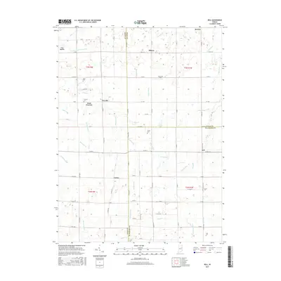
 1962 Roll1963 Print · USGSBlackford and Wells counties in the early sixties remained a deeply rural landscape of grain fields and drainage canals. Family historians can trace ancestral sites like Oak Chapel, the Township Sch, and local burial grounds such as Balsley Cem and Center Cem.3 unique versions available
 - 1962 Map of Van Buren, 1963 Print
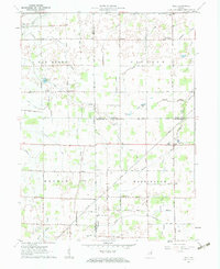
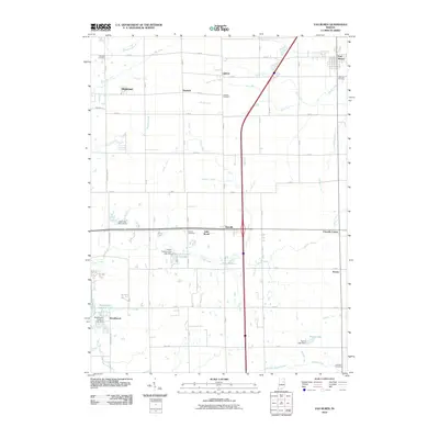
 1962 Van Buren1963 Print · USGSGrant County is captured in the early sixties as a structured grid of family farms and railroad hamlets. Researchers can trace the legacy of small-town Indiana through landmarks like Landess, Roosevelt Sch, and the Locust Chapel.2 unique versions available
 - 1986 Map of Wabash
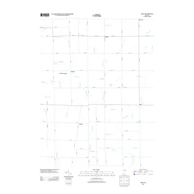
 1986 Wabash1986 Print · USGSThe Wabash Valley and surrounding Indiana farm country are captured here in the mid-eighties, showing a landscape reshaped by major reservoirs. Genealogists and local historians can trace the paths of the Old Indian Trail and the industrial reach of the Conrail line through towns like Lagro and Warren.2 unique versions available
 - 1992 Map of Van Buren, 1995 Print
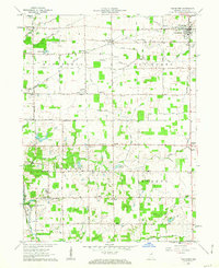
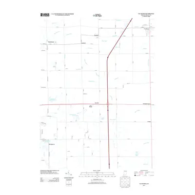
 1992 Van Buren1995 Print · USGSGrant County farmland meets the modern Interstate era in this detailed survey of the Indiana countryside during the 1990s. Genealogists can trace family footprints at Fairview Cem or Landess Cem and locate rural landmarks like Locust Chapel and Roosevelt Sch.
 - 2010 Map of Roll, 2010 Print
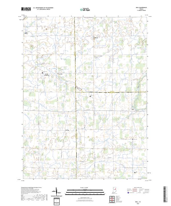
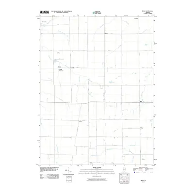 2010 Roll2010 Print · USGSCovers Van Buren, including Doyle Ferguson, Jadden, and other nearby areas
 - 2010 Map of Van Buren, 2010 Print
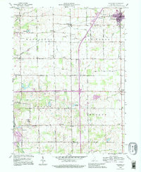
 2010 Van Buren2010 Print · USGSCovers Van Buren, including Marion, Gas City, and other nearby areas
 - 2013 Map of Van Buren, 2013 Print
 2013 Van Buren2013 Print · USGSCovers Van Buren, including Marion, Gas City, and other nearby areas
 - 2013 Map of Roll, 2013 Print
 2013 Roll2013 Print · USGSCovers Van Buren, including Doyle Ferguson, Jadden, and other nearby areas
 - 2016 Map of Van Buren, 2016 Print
 2016 Van Buren2016 Print · USGSCovers Van Buren, including Marion, Gas City, and other nearby areas
 - 2016 Map of Roll, 2016 Print
 2016 Roll2016 Print · USGSCovers Van Buren, including Doyle Ferguson, Jadden, and other nearby areas
 - 2019 Map of Roll, 2019 Print
 2019 Roll2019 Print · USGSCovers Van Buren, including Doyle Ferguson, Jadden, and other nearby areas
 - 2019 Map of Van Buren, 2019 Print
 2019 Van Buren2019 Print · USGSCovers Van Buren, including Marion, Gas City, and other nearby areas
 - 2022 Map of Roll, 2022 Print
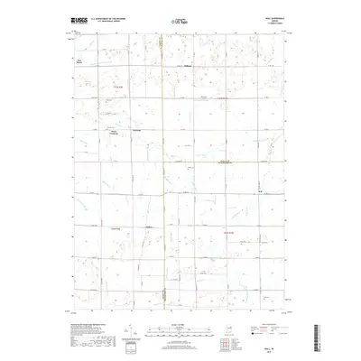
 2022 Roll2022 Print · USGSBlackford County and the surrounding farm country are captured here in the early twenty-first century as a landscape of rural settlements and intricate drainage networks. You can trace family history through sites like Dillman, Jadden, and several local burial grounds including Center Cem and Stoll Cem.
 - 2022 Map of Van Buren, 2022 Print
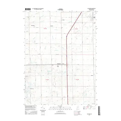
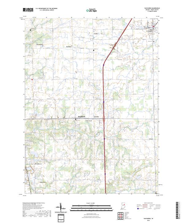 2022 Van Buren2022 Print · USGSGrant County is captured in this recent survey, showing a landscape of fertile Indiana farmland and small crossroads communities. Genealogists and local historians can trace family roots through several landmarks including Van Buren Cem, Landess, and the settlement at Arcana.
End of results
Showing maps 1-16 of 16
Top cities near Van Buren
- Marion historical maps
- Hartford City historical maps
- Gas City historical maps
- Upland historical maps
- Fairmount historical maps
- Montpelier historical maps
See more
Frequently asked questions
- What are the different types of historical maps available for Van Buren?
- What is the oldest map of Van Buren?
- Where can I purchase historical maps of Van Buren for my home or office?
- Where can I download high-res historical maps of Van Buren?
- Are there historical topographic maps available for Van Buren?
- Is there historical aerial imagery available for Van Buren?
- Where are historical maps of Van Buren sourced from?