
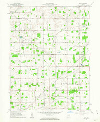
1962 Map of Roll
USGS Topo · Published 1963About this map
The agricultural landscape of Roll and its neighboring townships in 1962 is defined by a dense network of drainage canals and small rural hamlets. Across Van Buren, Jackson, MonROE, and Washington townships, the reliance on field drainage is evident in features like Sweetser Ditch, Doyle Ditch, and Custard Drain, which channel water toward Black Creek and Walnut Creek. This system of ditches allowed for intensive cultivation of the flat terrain.
Find a feature on this map
36 named features on this map. Tap any name to fly to it.
Don’t see what you’re looking for? This feature index may not catch every label — zoom into the map to look around manually.
Map Details
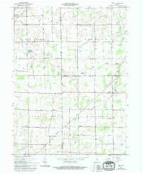
Editions of this 1962 Roll Map
3 editions found
Other maps of this area

1950 · Warren
USGS Topo · 1:24,000

1950 · Mount Etna
USGS Topo · 1:24,000

1951 · Mount Etna
USGS Topo · 1:24,000

1952 · Warren
USGS Topo · 1:24,000

1953 · Muncie
USGS Topo · 1:250,000

1956 · Muncie
USGS Topo · 1:250,000

1960 · Hartford City East
USGS Topo · 1:24,000

1960 · Gas City
USGS Topo · 1:24,000

1960 · Hartford City West
USGS Topo · 1:24,000

1962 · Montpelier
USGS Topo · 1:24,000