Old Maps of Durbin, Indiana for Hiking & Exploration
Hike through history with 10 historic maps of Durbin. Explore old trails, ghost towns, and forgotten backroads — perfect for outdoor adventurers and local explorers.
- Rediscover forgotten places: Map out old mining camps, roads, and footpaths that no longer exist on modern maps.
- Layer with modern tools: Combine with LiDAR or satellite views to plan hikes through historical terrain.
- Made for exploration: Popular among hikers, overlanders, and local history lovers.
Use these maps to find adventure and explore the hidden past of Durbin.
Durbin, IN maps
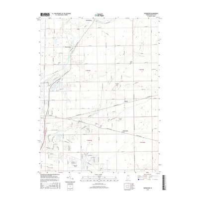
(10)- 1953 Map of Riverwood, 1955 Print
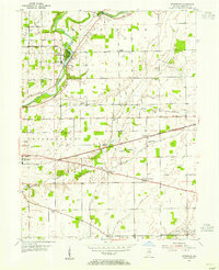 1953 Riverwood1955 Print · USGSHamilton County in the early fifties shows a landscape of river-valley agriculture and small rail-stop villages. Genealogists can trace family names through landmarks like Zimmer Cem and Victory Chapel, or locate mid-century sites like the Drive-in Theater and Consolidated Sch.2 unique versions available
 - 1953 Map of Muncie, 1966 Print
 1953 Muncie1966 Print · USGSIndiana and Ohio borderlands thrive in the early fifties, showing a landscape defined by manufacturing cities and an intensive railroad network. Genealogists can trace family roots across the Indiana-Ohio line through Muncie, Celina, and Portland via the Pennsylvania railroad.5 unique versions available
 - 1956 Map of Muncie
 1956 Muncie1956 Print · USGSEastern Indiana and western Ohio are shown at a peak of rail-driven industry in the mid-fifties. Genealogists and rail historians can trace the paths of the Pennsylvania RR through Muncie or locate landmarks like Lake Saint Marys (Grand Lake Reservoir) and Frances Slocum State Forest.
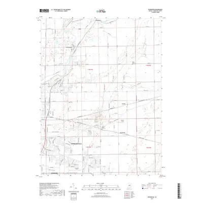
 - 1969 Map of Riverwood, 1971 Print
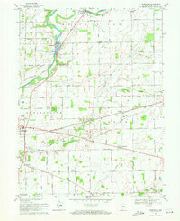 1969 Riverwood1971 Print · USGSHamilton County farmland meets the river in the late sixties as industrial sites and small communities dot the landscape. Researchers can trace family roots at Zimmer Cem and Hurlock Cem or locate old landmarks like the Consolidated Sch in Durbin.4 unique versions available
 - 1986 Map of Muncie
 1986 Muncie1986 Print · USGSEast Central Indiana was a hub of manufacturing and higher education in the mid-eighties. Genealogists and historians can trace the streets of Muncie, locate rural Cem sites, and explore landmarks like Mounds State Park and Taylor Univ.3 unique versions available
 - 2010 Map of Riverwood, 2010 Print
 2010 Riverwood2010 Print · USGSCovers Durbin, including Fishers, Noblesville, and other nearby areas
 - 2013 Map of Riverwood, 2013 Print
 2013 Riverwood2013 Print · USGSCovers Durbin, including Fishers, Noblesville, and other nearby areas
 - 2016 Map of Riverwood, 2016 Print
 2016 Riverwood2016 Print · USGSCovers Durbin, including Fishers, Noblesville, and other nearby areas
 - 2019 Map of Riverwood, 2019 Print
 2019 Riverwood2019 Print · USGSCovers Durbin, including Fishers, Noblesville, and other nearby areas
 - 2022 Map of Riverwood, 2022 Print
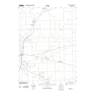
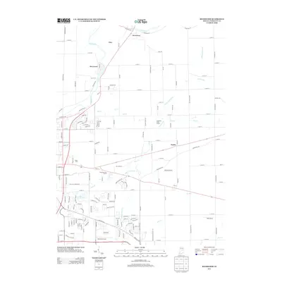
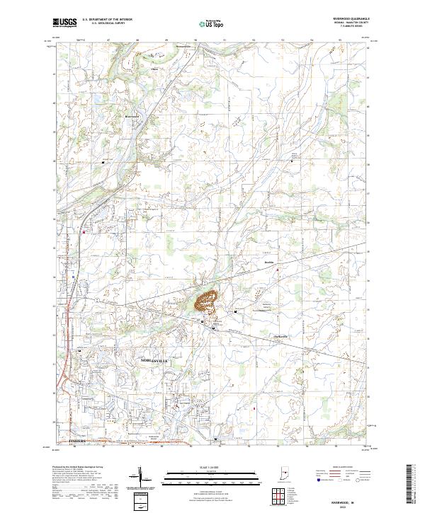 2022 Riverwood2022 Print · USGSHamilton County is captured in this 2022 survey as the rural landscapes of Durbin and Strawtown meet the expanding reach of Noblesville. Researchers can trace family history at Stony Creek Cem or locate the Galloway Airport.
End of results
Showing maps 1-10 of 10
Top cities near Durbin
- Indianapolis historical maps
- Carmel historical maps
- Fishers historical maps
- Noblesville historical maps
- Anderson historical maps
- Westfield historical maps
See more
Frequently asked questions
- What are the different types of historical maps available for Durbin?
- What is the oldest map of Durbin?
- Where can I purchase historical maps of Durbin for my home or office?
- Where can I download high-res historical maps of Durbin?
- Are there historical topographic maps available for Durbin?
- Is there historical aerial imagery available for Durbin?
- Where are historical maps of Durbin sourced from?