1900s (20th Century) Maps of Noblesville, Indiana
Explore 33 historic maps of Noblesville from the 1900s (20th Century). These maps offer a rare glimpse into what life looked like during the 1900s — showing old roads, neighborhoods, homes, and landmarks that have changed or disappeared over time.
Whether you're researching your family's past, planning a metal detecting trip, or studying how Noblesville's landscape evolved across the 1900s, these high-resolution maps are a powerful tool for exploring the history of this region.
- Focus on a specific era: All maps on this page are from the 1900s, giving you a focused view of this time period.
- See what’s changed: Compare century-old streets, trails, and buildings to today's modern landscape using overlays and satellite layers.
- Research with precision: Use these maps for genealogy, historical research, land use analysis, or educational projects.
- View, download, or print: Maps are fully viewable online in high resolution, and can be downloaded or printed for your own records.
Start exploring Noblesville's history through authentic maps from the 1900s. This is your window into the past.
Noblesville, IN maps
(33)- 1952 Map of Fishers, 1953 Print
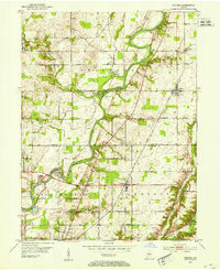 1952 Fishers1953 Print · USGSCovers Noblesville, including Indianapolis, Carmel, and other nearby areas
 - 1952 Map of Ingalls, 1953 Print
 1952 Ingalls1953 Print · USGSCovers Noblesville, including Fishers, Pendleton, and other nearby areas
 - 1952 Map of Mc Cordsville, 1953 Print
 1952 Mc Cordsville1953 Print · USGSCovers Noblesville, including Indianapolis, Fishers, and other nearby areas2 unique versions available
 - 1953 Map of Lapel, 1954 Print
 1953 Lapel1954 Print · USGSCovers Noblesville, including Anderson, Pendleton, and other nearby areas2 unique versions available
 - 1953 Map of Riverwood, 1955 Print
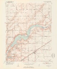
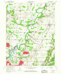
 1953 Riverwood1955 Print · USGSCovers Noblesville, including Fishers, Strawtown, and other nearby areas2 unique versions available
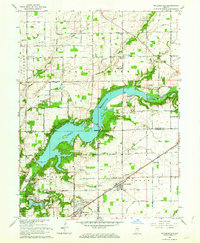
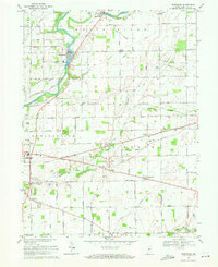
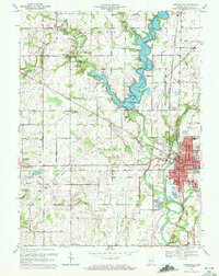
 - 1953 Map of Noblesville, 1955 Print
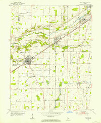
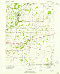
 1953 Noblesville1955 Print · USGSCovers Noblesville, including Carmel, Fishers, and other nearby areas
 - 1953 Map of Cincinnati, 1965 Print
 1953 Cincinnati1965 Print · USGSCovers Noblesville, including Indianapolis, Cincinnati, and other nearby areas3 unique versions available
 - 1953 Map of Danville, 1965 Print
 1953 Danville1965 Print · USGSCovers Noblesville, including Carmel, Fishers, and other nearby areas3 unique versions available
 - 1953 Map of Indianapolis, 1965 Print
 1953 Indianapolis1965 Print · USGSCovers Noblesville, including Indianapolis, Carmel, and other nearby areas4 unique versions available
 - 1953 Map of Muncie, 1966 Print
 1953 Muncie1966 Print · USGSCovers Noblesville, including Fort Wayne, Fishers, and other nearby areas5 unique versions available
 - 1955 Map of Danville
 1955 Danville1955 Print · USGSCovers Noblesville, including Carmel, Fishers, and other nearby areas
 - 1956 Map of Muncie
 1956 Muncie1956 Print · USGSCovers Noblesville, including Fort Wayne, Fishers, and other nearby areas
 - 1956 Map of Danville
 1956 Danville1956 Print · USGSCovers Noblesville, including Carmel, Fishers, and other nearby areas
 - 1956 Map of Indianapolis
 1956 Indianapolis1956 Print · USGSCovers Noblesville, including Indianapolis, Carmel, and other nearby areas
 - 1957 Map of Indianapolis
 1957 Indianapolis1957 Print · USGSCovers Noblesville, including Indianapolis, Carmel, and other nearby areas2 unique versions available
 - 1957 Map of Cincinnati
 1957 Cincinnati1957 Print · USGSCovers Noblesville, including Indianapolis, Cincinnati, and other nearby areas
 - 1959 Map of Fishers, 1960 Print
 1959 Fishers1960 Print · USGSCovers Noblesville, including Indianapolis, Carmel, and other nearby areas2 unique versions available
 - 1960 Map of Noblesville, 1961 Print
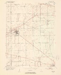
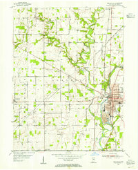
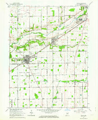
 1960 Noblesville1961 Print · USGSCovers Noblesville, including Carmel, Fishers, and other nearby areas2 unique versions available
 - 1962 Map of Indianapolis
 1962 Indianapolis1962 Print · USGSCovers Noblesville, including Indianapolis, Carmel, and other nearby areas
 - 1962 Map of Mc Cordsville, 1963 Print
 1962 Mc Cordsville1963 Print · USGSCovers Noblesville, including Indianapolis, Fishers, and other nearby areas3 unique versions available
 - 1962 Map of Ingalls, 1963 Print
 1962 Ingalls1963 Print · USGSCovers Noblesville, including Fishers, Pendleton, and other nearby areas3 unique versions available
 - 1967 Map of Lapel, 1968 Print
 1967 Lapel1968 Print · USGSCovers Noblesville, including Anderson, Pendleton, and other nearby areas2 unique versions available
 - 1967 Map of Fishers, 1969 Print
 1967 Fishers1969 Print · USGSCovers Noblesville, including Indianapolis, Carmel, and other nearby areas5 unique versions available
 - 1969 Map of Riverwood, 1971 Print
 1969 Riverwood1971 Print · USGSCovers Noblesville, including Fishers, Strawtown, and other nearby areas4 unique versions available
 - 1969 Map of Noblesville, 1971 Print
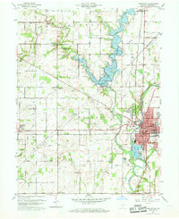
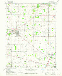
 1969 Noblesville1971 Print · USGSCovers Noblesville, including Carmel, Fishers, and other nearby areas3 unique versions available
Showing maps 1-25 of 33
Top cities near Noblesville
- Indianapolis historical maps
- Carmel historical maps
- Fishers historical maps
- Anderson historical maps
- Westfield historical maps
- Lawrence historical maps
See more
Top neighborhoods of Noblesville
- Downtown Noblesville historical maps
- Federal Hill historical maps
- Monterey Village historical maps
- West Noblesville historical maps
Frequently asked questions
- What are the different types of historical maps available for Noblesville?
- What is the oldest map of Noblesville?
- Where can I purchase historical maps of Noblesville for my home or office?
- Where can I download high-res historical maps of Noblesville?
- Are there historical topographic maps available for Noblesville?
- Is there historical aerial imagery available for Noblesville?
- Where are historical maps of Noblesville sourced from?