Old Maps of Hancock County, Indiana for Hiking & Exploration
Hike through history with 76 historic maps of Hancock County. Explore old trails, ghost towns, and forgotten backroads — perfect for outdoor adventurers and local explorers.
- Rediscover forgotten places: Map out old mining camps, roads, and footpaths that no longer exist on modern maps.
- Layer with modern tools: Combine with LiDAR or satellite views to plan hikes through historical terrain.
- Made for exploration: Popular among hikers, overlanders, and local history lovers.
Use these maps to find adventure and explore the hidden past of Hancock County.
Hancock County, IN maps
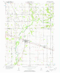
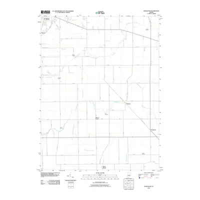
(76)- 1952 Map of Cumberland, 1953 Print
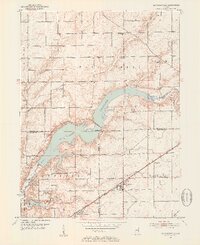
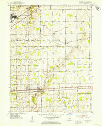 1952 Cumberland1953 Print · USGSThe rural borderlands of Marion and Hancock Counties are captured here in the early fifties, showing the footprint of Fort Benjamin Harrison alongside small farming hamlets. Researchers can locate numerous family burial sites like Snider Cem and Arnett Cem, or trace the path of the New York Central Railroad.
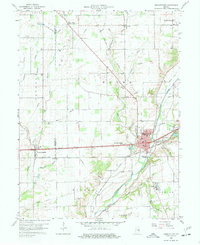
 - 1952 Map of Greenfield, 1953 Print
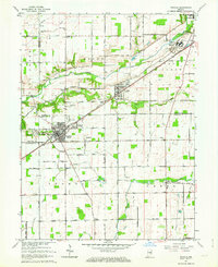
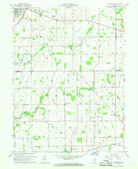
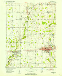 1952 Greenfield1953 Print · USGSHancock County was a thriving agricultural and rail hub in the early fifties, centered on the growing seat of Greenfield. Local historians can trace old property lines near Mohawk and locate several small rural burial sites like Reeves Cem and Sugar Creek Cem.
 - 1952 Map of Fountaintown, 1953 Print
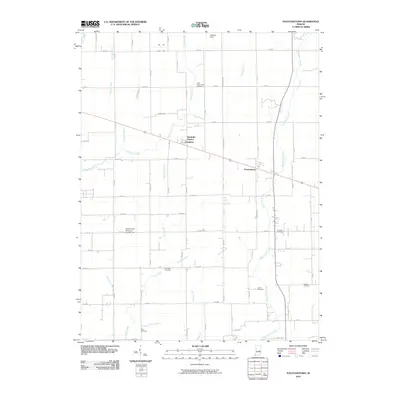
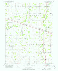 1952 Fountaintown1953 Print · USGSThe crossroads of Shelby and Hancock counties come to life in this mid-century survey of the Indiana countryside. Genealogists can trace family roots through several rural burial grounds and churches, including Concord Cem, Lisher Cem, and Fairview Ch.3 unique versions available
 - 1952 Map of Ingalls, 1953 Print
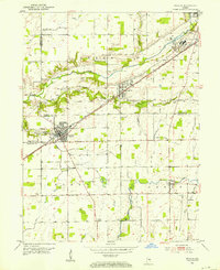 1952 Ingalls1953 Print · USGSCentral Indiana's agricultural and industrial corridor is captured here in the early fifties, following the New York Central line. Genealogists can trace family footprints across dozens of sites like Gravel Lawn Cem, Beech Grove Ch, and the outlying settlement of Eden.
 - 1952 Map of Mc Cordsville, 1953 Print
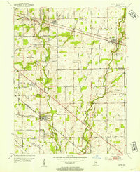
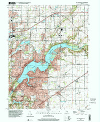
 1952 Mc Cordsville1953 Print · USGSCentral Indiana in the early fifties shows the expansion of Geist Reservoir and the established rail lines. Genealogists can trace family landmarks and rural homesteads through McCordsville, Highland Cem, and Bethlehem Ch.2 unique versions available
 - 1953 Map of Acton, 1954 Print
 1953 Acton1954 Print · USGSSoutheastern Indiana farmland meets the rail lines of the early fifties in this detailed look at the rural landscape. Genealogists can locate family-named sites like Schildmeier Cem, Zion Sch, and the old rail stop at Acton.
 - 1953 Map of Pendleton, 1954 Print
 1953 Pendleton1954 Print · USGSThe rural borderlands of Madison and Hancock Counties are meticulously documented here in the early fifties. Researchers can trace family history through numerous rural landmarks like Bunker Cem, Sugar Grove Ch, and the small community at Warrington.2 unique versions available
 - 1953 Map of Cincinnati, 1965 Print
 1953 Cincinnati1965 Print · USGSThe Ohio River valley and the industrial heartland of Indiana and Ohio are captured here during the mid-century peak of rail and river commerce. Genealogists and historians can trace connections between Cincinnati and outlying military sites like Camp Atterbury and Bakalar AFB.3 unique versions available
 - 1956 Map of Cleveland, 1957 Print
 1956 Cleveland1957 Print · USGSHancock County farmland and small crossroads settlements are captured here in the mid-fifties along the historic National Road. Genealogists and local historians can locate several family cemeteries, including Pratt Cem and Hinchman Cem, alongside landmarks like Curry Chapel and Pope Airfield.2 unique versions available
 - 1956 Map of Morristown, 1957 Print
 1956 Morristown1957 Print · USGSMid-century Shelby County is captured here as the Baltimore and Ohio railroad links small agricultural hubs. Genealogists can trace local roots at Asbury Cem, Shiloh Ch, and the school at Morristown.2 unique versions available
 - 1957 Map of Cincinnati
 1957 Cincinnati1957 Print · USGSThe Ohio River valley and its surrounding highlands thrived during the mid-fifties industrial peak, centered on the bustling Cincinnati and Dayton metropolitan hubs. Researchers can trace the extensive rail networks and military sites like Wright-Patterson AFB and Camp Atterbury.
 - 1960 Map of Knightstown, 1961 Print
 1960 Knightstown1961 Print · USGSKnightstown and the Big Blue River valley are captured in the early sixties as major rail lines and the historic National Road still defined local commerce. Researchers can trace family sites like Glencove Cem, the Morton Sch, and the small community of Raysville.3 unique versions available
 - 1960 Map of Shirley, 1961 Print
 1960 Shirley1961 Print · USGSEast-central Indiana farmland is captured here in the early sixties, centered on the tri-county junction where Shirley meets the NEW YORK CENTRAL line. Local historians can trace family-named landmarks and rural hubs like McCray Cem, Harlan Ch, and the Township High Sch.2 unique versions available
 - 1962 Map of Mc Cordsville, 1963 Print
 1962 Mc Cordsville1963 Print · USGSThe Geist Reservoir area undergoes a mid-century transformation where rural crossroads meet new lakeside developments. Researchers can trace ancestral sites at Arnett Cem or the rail history of McCordsville along the New York Central line.3 unique versions available
 - 1962 Map of Ingalls, 1963 Print
 1962 Ingalls1963 Print · USGSAs the mid-century suburban shift began to reach central Indiana, this area saw traditional farming intersect with growing communities and institutional landmarks. Genealogists can trace family names through sites like Hiday Cem, Beech Grove Ch, and the State Reformatory.3 unique versions available
 - 1962 Map of Greenfield, 1964 Print
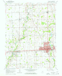 1962 Greenfield1964 Print · USGSGreenfield and central Hancock County are shown in the early sixties as the regional rail and road networks reached their mid-century peak. Genealogists can trace family landmarks and rural life through Nazarene Ch, Philadelphia, and the Owen Cem.5 unique versions available
 - 1962 Map of Cumberland, 1964 Print
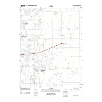
 1962 Cumberland1964 Print · USGSCumberland and the eastern fringes of Indianapolis are shown here during a period of significant mid-century expansion. Researchers can trace family history through dozens of named burial grounds like Eastes Cem or locate defunct landmarks such as the Drive-in Theater and Fort Benjamin Harrison.5 unique versions available
 - 1962 Map of Acton, 1964 Print
 1962 Acton1964 Print · USGSThe rural-to-suburban transition east of Indianapolis is captured here in the early sixties, where traditional farmland meets new housing estates. Researchers can trace ancestral roots at Freeman Cem or follow the historic tracks of the New York Central through Acton.4 unique versions available
 - 1966 Map of Pendleton, 1968 Print
 1966 Pendleton1968 Print · USGSMadison and Hancock Counties are captured here in the mid-1960s, showing a landscape of small crossroads settlements and family farms. Trace local history through landmarks like Milners Corner, the Zion Chapel, and old family plots like Cook Cem.
 - 1986 Map of New Castle
 1986 New Castle1986 Print · USGSEast Central Indiana remains a patchwork of thriving county seats and rail-side hamlets in the mid-eighties. Genealogists and historians can locate family landmarks such as East Hill Cemetery, Little Blue River Church, and the transit lines of the CONRAIL railroad.2 unique versions available
 - 1998 Map of Mc Cordsville, 2002 Print
 1998 Mc Cordsville2002 Print · USGSThe growing communities northeast of Indianapolis come into focus here during the late nineties as residential development meets rural heritage. Genealogists and local historians can trace family plots like Arnett Cem or explore the early layouts of Woodbury and McCordsville along the Conrail tracks.
 - 2010 Map of Fountaintown, 2010 Print
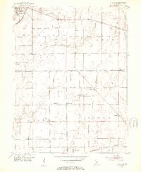
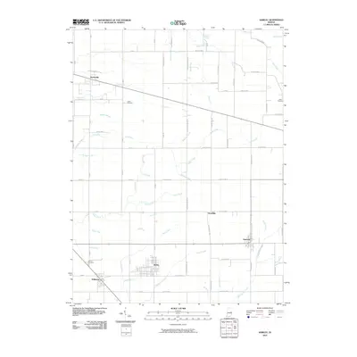
 2010 Fountaintown2010 Print · USGSCovers Hancock County, including Reedville Station, Carrollton, and other nearby areas
 - 2010 Map of Shirley, 2010 Print
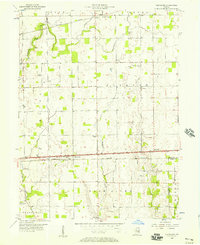
 2010 Shirley2010 Print · USGSCovers Hancock County, including Kennard, Markleville, and other nearby areas
 - 2010 Map of Pendleton, 2010 Print
 2010 Pendleton2010 Print · USGSCovers Hancock County, including Pendleton, Markleville, and other nearby areas
 - 2010 Map of Cumberland, 2010 Print
 2010 Cumberland2010 Print · USGSCovers Hancock County, including Indianapolis, Lawrence, and other nearby areas
Showing maps 1-25 of 76
Top cities of Hancock County
- Greenfield historical maps
- Fortville historical maps
- New Palestine historical maps
- McCordsville historical maps
- Wilkinson historical maps
- Spring Lake historical maps
Frequently asked questions
- What are the different types of historical maps available for Hancock County?
- What is the oldest map of Hancock County?
- Where can I purchase historical maps of Hancock County for my home or office?
- Where can I download high-res historical maps of Hancock County?
- Are there historical topographic maps available for Hancock County?
- Is there historical aerial imagery available for Hancock County?
- Where are historical maps of Hancock County sourced from?