2020s Maps of Howard County, Indiana
Explore 14 historic maps of Howard County from the 2020s. These maps offer a rare glimpse into what life looked like during the 2020s — showing old roads, neighborhoods, homes, and landmarks that have changed or disappeared over time.
Whether you're researching your family's past, planning a metal detecting trip, or studying how Howard County's landscape evolved across the 2020s, these high-resolution maps are a powerful tool for exploring the history of this region.
- Focus on a specific era: All maps on this page are from the 2020s, giving you a focused view of this time period.
- See what’s changed: Compare century-old streets, trails, and buildings to today's modern landscape using overlays and satellite layers.
- Research with precision: Use these maps for genealogy, historical research, land use analysis, or educational projects.
- View, download, or print: Maps are fully viewable online in high resolution, and can be downloaded or printed for your own records.
Start exploring Howard County's history through authentic maps from the 2020s. This is your window into the past.
Howard County, IN maps
(14)- 2022 Map of Point Isabel, 2022 Print
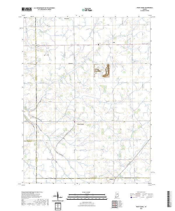 2022 Point Isabel2022 Print · USGSSettlements and farmsteads dot the Grant County landscape in the early 2020s, revealing a deeply rooted agricultural community. Researchers can trace family history through sites like Abel Cem or follow the paths of Wildcat Cr and the S Straw Town Pike.
 - 2022 Map of Sweetser, 2022 Print
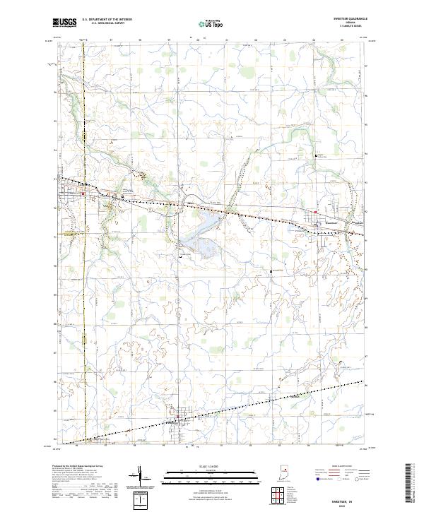 2022 Sweetser2022 Print · USGSIndiana's fertile farmland in Grant and Miami counties is revealed here in the early twenty-first century, showing a landscape defined by drainage and small-town junctions. Researchers can locate family burial plots at Thraikill Cem and Rowland Cem or trace the routes between Converse and Swayzee.
 - 2022 Map of Amboy, 2022 Print
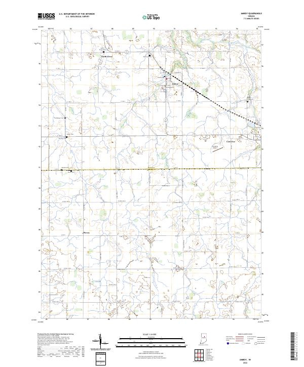 2022 Amboy2022 Print · USGSMiami and Howard counties appear here in the early 2020s, showing a well-established grid of rural townships and small farming communities. Researchers can locate numerous family burial sites such as Shrock Cem and Kendall Cem or trace the drainage systems of Miller Ditch and Fisher Ditch.
 - 2022 Map of Greentown, 2022 Print
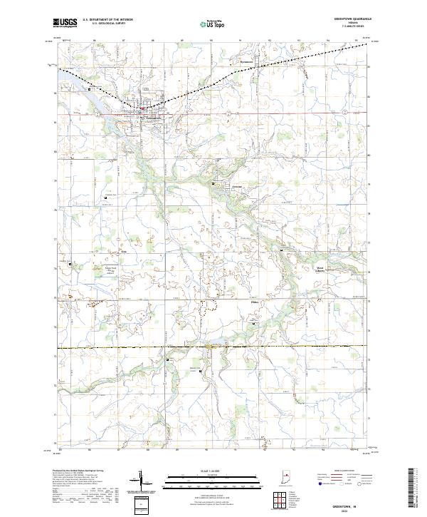 2022 Greentown2022 Print · USGSGreentown and its rural Howard County surroundings appear in the early 2020s amidst a landscape shaped by Wildcat Creek and managed drainage. Researchers can locate many family burial sites including Greenlawn Cem, Salem Cem, and Jerome Cem.
 - 2022 Map of Miami, 2022 Print
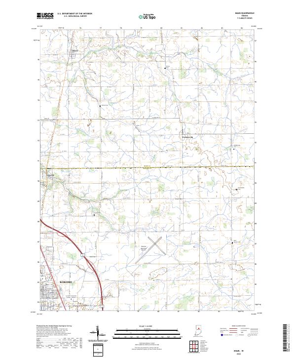 2022 Miami2022 Print · USGSThe northern edge of the Kokomo area is captured here during a period of modern growth and historical preservation. Genealogists can locate several family burial sites like Chitick Cem and Hochstedler Cem alongside the route of the Nickle Plate Rail-Trl.
 - 2022 Map of Hillisburg, 2022 Print
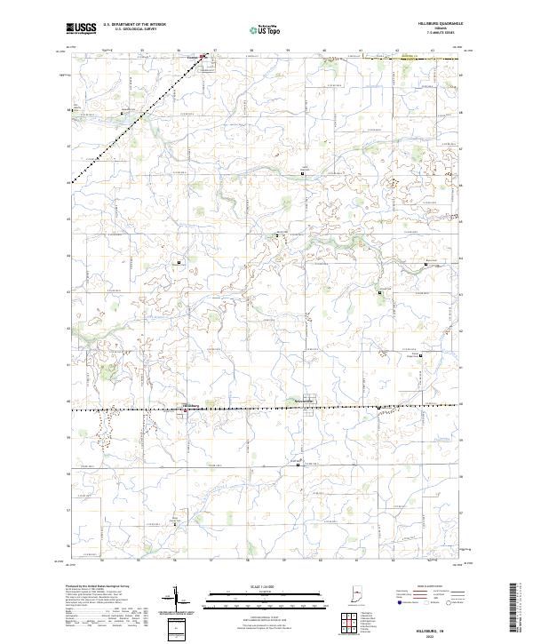 2022 Hillisburg2022 Print · USGSClinton County's rural heartland is documented here in the early twenty-first century, showing the enduring grid of family farms and drainage works. Researchers can locate numerous local burial sites including Old Liberty Cem, Saint Paul Cem, and Stroup Cem.
 - 2022 Map of Young America, 2022 Print
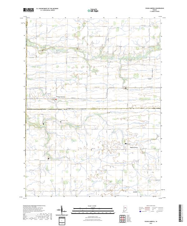 2022 Young America2022 Print · USGSIndiana farmland at the border of Cass and Howard Counties is mapped here in fine detail, showing the rural grid system and local water management. Genealogists can locate several family cemeteries, including Mound Cem, Pickett Cem, and Kappa Cem near Young America.
 - 2022 Map of Burlington, 2022 Print
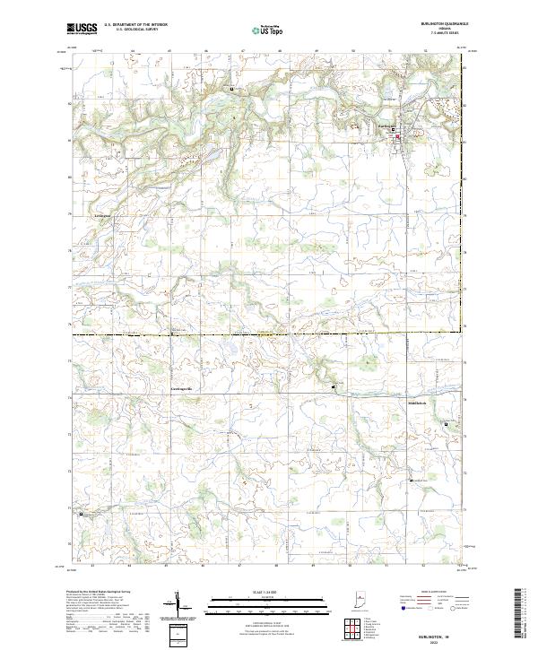 2022 Burlington2022 Print · USGSThe border of Carroll and Clinton counties in the early 2020s remains a landscape of small villages and productive farmland. Genealogists can trace family history through several local burial sites, including Old Chaney Cem, Hye Park Cem, and Burlington Cem.
 - 2022 Map of Kempton, 2022 Print
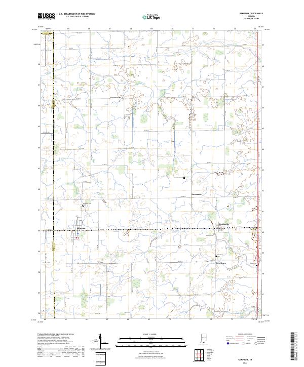 2022 Kempton2022 Print · USGSTipton County farmland near the Clinton and Howard borders shows a landscape defined by its rural settlements and intricate drainage networks. Genealogists can locate several local burial sites including Kempton Cem, Wolford Cem, and Tetersburg Cem.
 - 2022 Map of Deer Creek, 2022 Print
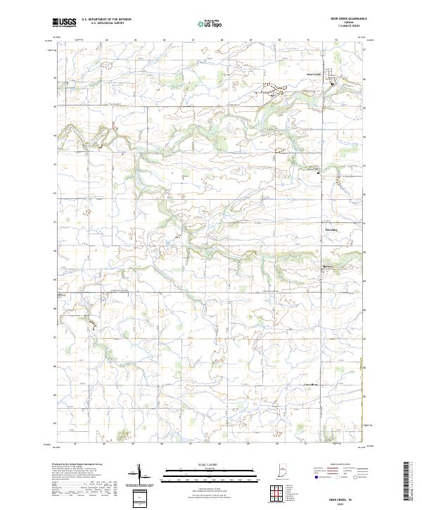 2022 Deer Creek2022 Print · USGSThe rural agricultural landscape of Carroll County is captured here in the early 2020s, showing a well-established network of farm roads and drainage ditches. Family historians can locate several burial grounds, including Hopewell Cemetery and Maple Lawn Cem, alongside small settlements like Wheeling and Carrollton.
 - 2022 Map of Russiaville, 2022 Print
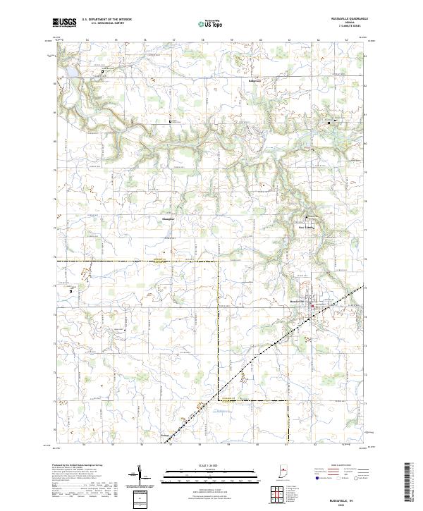 2022 Russiaville2022 Print · USGSCentral Indiana's agricultural heartland is documented here in the early twenty-first century. Genealogists can trace family sites at Old Prophet and Friends Cem, while researchers locate crossroads like Shanghai and New London.
 - 2022 Map of Kokomo West, 2022 Print
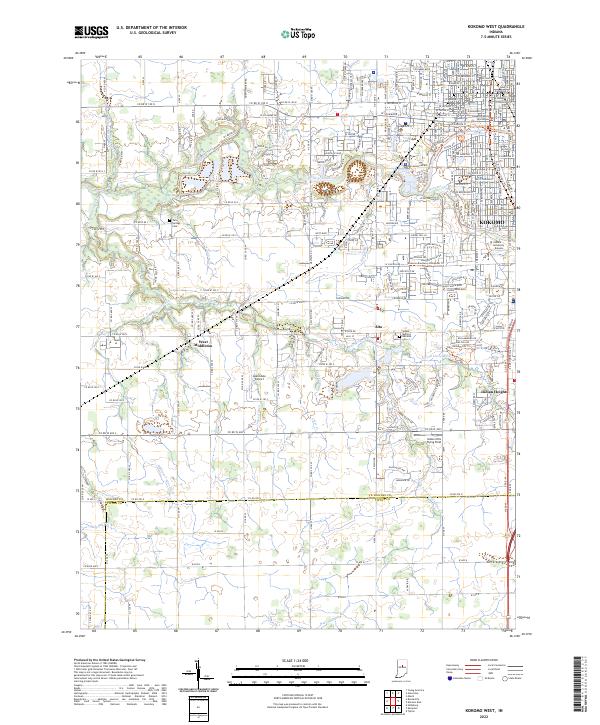 2022 Kokomo West2022 Print · USGSWestern Howard County is captured here in the early 2020s, showcasing the expansion of Kokomo alongside long-standing rural townships. Researchers can find specific family landmarks and community centers ranging from the Twin Springs Cem to West Middleton.
 - 2022 Map of Galveston, 2022 Print
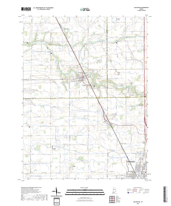 2022 Galveston2022 Print · USGSThe rural crossroads of Cass and Miami counties are captured in this modern survey, showing the agricultural heart of north-central Indiana. Genealogists and local researchers can trace family-named drainage ditches and historic burial sites like Patterson Cem and Old Galveston Cem.
 - 2022 Map of Kokomo East, 2022 Print
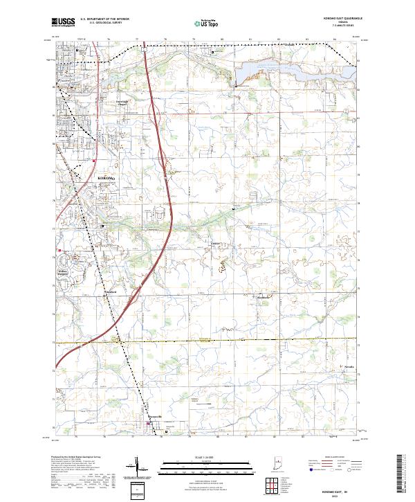 2022 Kokomo East2022 Print · USGSHoward and Tipton Counties are shown here during their modern development, where the eastern edges of Kokomo meet rural townships. Genealogists can trace family sites at Crown Point Cem and Albright Cem, while following the paths of Wildcat Creek and Finn Ditch.
End of results
Showing maps 1-14 of 14
Top cities of Howard County
Frequently asked questions
- What are the different types of historical maps available for Howard County?
- What is the oldest map of Howard County?
- Where can I purchase historical maps of Howard County for my home or office?
- Where can I download high-res historical maps of Howard County?
- Are there historical topographic maps available for Howard County?
- Is there historical aerial imagery available for Howard County?
- Where are historical maps of Howard County sourced from?