Old Maps of Jasper County, Indiana for Hiking & Exploration
Hike through history with 144 historic maps of Jasper County. Explore old trails, ghost towns, and forgotten backroads — perfect for outdoor adventurers and local explorers.
- Rediscover forgotten places: Map out old mining camps, roads, and footpaths that no longer exist on modern maps.
- Layer with modern tools: Combine with LiDAR or satellite views to plan hikes through historical terrain.
- Made for exploration: Popular among hikers, overlanders, and local history lovers.
Use these maps to find adventure and explore the hidden past of Jasper County.
Jasper County, IN maps
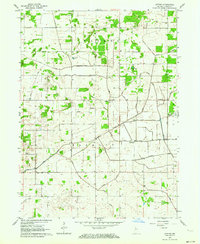
(144)- 1953 Map of Hebron, 1955 Print
 1953 Hebron1955 Print · USGSPorter County in the early 1950s is defined by its rail-linked small towns and the managed waters of the Kankakee basin. Genealogists and local historians can trace the early layout of Hebron, explore rural Boone Grove, or locate family sites at Hebron Cem.
 - 1953 Map of Kouts, 1955 Print
 1953 Kouts1955 Print · USGSSouthern Porter County is captured here in the mid-1950s as a bustling rail junction and engineered agricultural landscape. Genealogists and rail historians can trace the crossing of the Erie and Pennsylvania lines near Kouts and locate several rural burial grounds like Merriman Cem.
 - 1953 Map of Chicago, 1964 Print
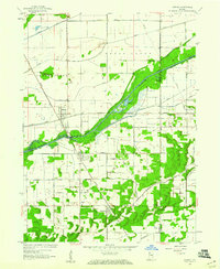
 1953 Chicago1964 Print · USGSThe southern Lake Michigan shoreline was rapidly modernizing in the mid-fifties, balancing heavy industry with its famous academic centers. Researchers can trace the footprints of Notre Dame University or locate vanished sites like the Kingsbury Ordnance Plant and Meigs Field.5 unique versions available
 - 1953 Map of Danville, 1965 Print
 1953 Danville1965 Print · USGSIndiana and Illinois crossroads come to life in this mid-century survey as the interstate era begins to reshape the river-and-rail landscape. Genealogists and collectors can trace the historic paths of the Nickel Plate railroad or locate smaller communities like Veedersburg, Goodland, and Bismarck.3 unique versions available
 - 1955 Map of Danville
 1955 Danville1955 Print · USGSThe Indiana-Illinois borderlands during the mid-fifties reveal a landscape of thriving rail hubs and university towns. Researchers can trace the legacy of Purdue University, the Tippecanoe Battlefield, and the path of the Pennsylvania RR.
 - 1956 Map of Danville
 1956 Danville1956 Print · USGSMid-century Indiana and Illinois are captured here as the river-and-rail economy evolved into the modern highway era. Researchers can trace ancestral roots and old transport lines through Logansport, Battle Ground, and the dams at Lake Shafer.
 - 1957 Map of Chicago
 1957 Chicago1957 Print · USGSThe industrial heartland and southern Great Lakes shoreline are captured here during the peak of mid-century growth. Researchers can trace the massive Gary Steel Works, the grounds of the University of Notre Dame, and the early paths of the Tri-State Tollway.
 - 1957 Map of Wheatfield, 1959 Print
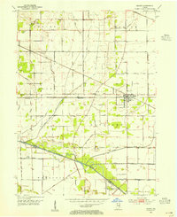
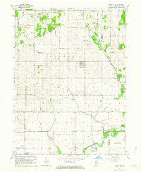
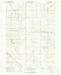
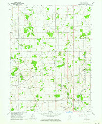
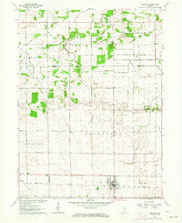
 1957 Wheatfield1959 Print · USGSJasper County farmland and the village of Wheatfield are captured here in the late fifties, showcasing a landscape transformed by drainage engineering. Trace the local rail-and-river economy through the New York Central line and features like Kniman Cem and Stoutsburg.2 unique versions available
 - 1957 Map of DeMotte, 1959 Print
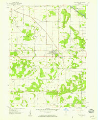
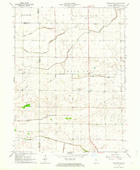
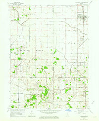
 1957 DeMotte1959 Print · USGSJasper County agricultural life in the late fifties is centered around the New York Central rail line. Researchers can trace family-named roads like Bosma and Schatzley or locate early rural hubs such as Demotte, Kniman, and Kersey.3 unique versions available
 - 1959 Map of Shelby, 1960 Print
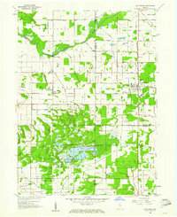
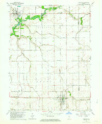
 1959 Shelby1960 Print · USGSThe Kankakee River valley at the turn of the 1960s was a landscape defined by rail and reclamation. Researchers can trace the Monon line through Shelby and Thayer or locate local landmarks like the Landing Strip and the Singleton Ditch.2 unique versions available
 - 1959 Map of San Pierre, 1961 Print
 1959 San Pierre1961 Print · USGSNorthwest Indiana in the late fifties is defined by managed wetlands and the intersection of major rail lines. Genealogists and historians can trace the rural communities of San Pierre and Tefft, locating the All Saints Cem & Cem and the Township Sch.2 unique versions available
 - 1961 Map of Mount Ayr, 1964 Print
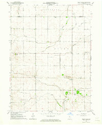
 1961 Mount Ayr1964 Print · USGSNewton County's agricultural heartland in the early sixties is centered on Mount Ayr and its surrounding drainage networks. Genealogists and historians can locate rural burial grounds like North Star Cem or trace the legacy of the Old Railroad Grade.2 unique versions available
 - 1962 Map of Mount Gilboa, 1963 Print
 1962 Mount Gilboa1963 Print · USGSBenton and Jasper counties in the early sixties are captured here as a landscape of productive prairie and engineered drainage. Genealogists can locate family landmarks such as Bethany Chapel, Mount Gilboa Church, and the rural community of Wadena.
 - 1962 Map of Wadena, 1963 Print
 1962 Wadena1963 Print · USGSBenton County agriculture and rail transit are captured here in the early sixties as the landscape supported a thriving grain-shipping economy. Researchers can locate the Township Sch in Wadena, the Dehner Cem, and traces of an Old Railroad Grade.2 unique versions available
 - 1962 Map of Templeton NE, 1963 Print
 1962 Templeton NE1963 Print · USGSThe rural borders of White and Benton Counties are captured in the early sixties, showing a landscape shaped by drainage and family farming. Genealogists and local historians can trace legacy landmarks like Meadow Lake Ch, the Cem, and numerous named waterways including Sweeney Ditch.3 unique versions available
 - 1962 Map of Monon, 1964 Print
 1962 Monon1964 Print · USGSWhite County's agricultural and rail heartland is captured here in the early sixties, showing the intersection of major Indiana transit lines. Genealogists can locate family sites at Palestine Cem and Swisher Cem or trace the rural rail stops of Seafield and Reynolds.2 unique versions available
 - 1962 Map of Medaryville, 1964 Print
 1962 Medaryville1964 Print · USGSMedaryville and the surrounding Pulaski County plains are captured in the early sixties, showing a landscape defined by industrial drainage and rail transport. Genealogists can trace family roots through numerous local sites like St Marks Cem, Mason Cem, and the rural Independence Ch.
 - 1962 Map of Gifford, 1964 Print
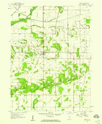
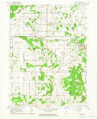
 1962 Gifford1964 Print · USGSJasper County's rural townships were defined by a vast drainage network in the early sixties, as seen through this detailed survey of its agricultural heartland. Researchers can trace the layout of small settlements like Gifford and Newland or locate the Oak Grove Cem and Prater Cem.
 - 1962 Map of Parr, 1964 Print
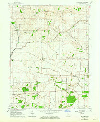
 1962 Parr1964 Print · USGSJasper County agricultural life in the early sixties is centered on the Iroquois River and an intricate grid of drainage ditches. Genealogists can trace family footprints at Dunkard Cem, St Johns Ch, and the old rail stop at Parr.2 unique versions available
 - 1962 Map of Goodland, 1964 Print
 1962 Goodland1964 Print · USGSNewton County's agricultural heartland is documented here in the early 1960s, showing the intersection of rail and river life. Researchers can trace family roots at Mt Calvary Cem, find the vanished stop at Percy Junction, or locate the historic layout of Goodland.2 unique versions available
 - 1962 Map of Francesville, 1964 Print
 1962 Francesville1964 Print · USGSNorthwest Indiana's agricultural prairie is seen in the early sixties as a network of drainage ditches and rail lines. You can trace the MONON railroad through Francesville or locate rural landmarks like Osborne Cem and the settlement of Lee.2 unique versions available
 - 1962 Map of Fair Oaks, 1964 Print
 1962 Fair Oaks1964 Print · USGSNewton and Jasper counties are captured here in the early sixties as a highly engineered agricultural landscape. Genealogists and local historians can trace family lands near Fair Oaks, locate the Township Sch, and follow the path of the Monon Railroad.2 unique versions available
 - 1962 Map of Mc Coysburg, 1964 Print
 1962 Mc Coysburg1964 Print · USGSJasper County in the early sixties reveals a landscape of prairie drainage and rail-side settlements like McCoysburg and Pleasant Ridge. Genealogists and local historians can trace family names through numerous rural burial sites including Rees Cem and Brown Cem.
 - 1962 Map of Rensselaer, 1964 Print
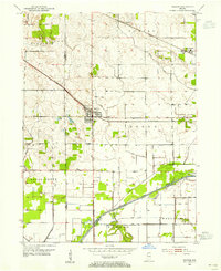
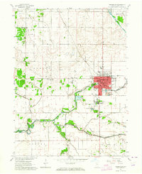 1962 Rensselaer1964 Print · USGSJasper County in the early sixties centers on the collegiate and rail activity of the Rensselaer area. Genealogists and local historians can trace family locations near Old Settlers Cem, explore the St Josephs College campus, or locate the historic St Augustine Ch.3 unique versions available
 - 1962 Map of Wolcott, 1964 Print
 1962 Wolcott1964 Print · USGSThe Indiana prairie near the Jasper and White county line is captured here in the early sixties, centered on the rail-side growth of Wolcott. Researchers can trace local lineage through several rural burial sites like Palestine Cem and the Apostolic Ch.3 unique versions available
Showing maps 1-25 of 144
Top cities of Jasper County
- Rensselaer historical maps
- Remington historical maps
- Wheatfield historical maps
- Hanging Grove historical maps
Frequently asked questions
- What are the different types of historical maps available for Jasper County?
- What is the oldest map of Jasper County?
- Where can I purchase historical maps of Jasper County for my home or office?
- Where can I download high-res historical maps of Jasper County?
- Are there historical topographic maps available for Jasper County?
- Is there historical aerial imagery available for Jasper County?
- Where are historical maps of Jasper County sourced from?