Old Maps of Pleasant Ridge, Indiana for Hiking & Exploration
Hike through history with 11 historic maps of Pleasant Ridge. Explore old trails, ghost towns, and forgotten backroads — perfect for outdoor adventurers and local explorers.
- Rediscover forgotten places: Map out old mining camps, roads, and footpaths that no longer exist on modern maps.
- Layer with modern tools: Combine with LiDAR or satellite views to plan hikes through historical terrain.
- Made for exploration: Popular among hikers, overlanders, and local history lovers.
Use these maps to find adventure and explore the hidden past of Pleasant Ridge.
Pleasant Ridge, IN maps
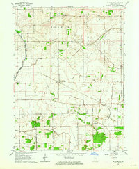
(11)- 1953 Map of Danville, 1965 Print
 1953 Danville1965 Print · USGSIndiana and Illinois crossroads come to life in this mid-century survey as the interstate era begins to reshape the river-and-rail landscape. Genealogists and collectors can trace the historic paths of the Nickel Plate railroad or locate smaller communities like Veedersburg, Goodland, and Bismarck.3 unique versions available
 - 1955 Map of Danville
 1955 Danville1955 Print · USGSThe Indiana-Illinois borderlands during the mid-fifties reveal a landscape of thriving rail hubs and university towns. Researchers can trace the legacy of Purdue University, the Tippecanoe Battlefield, and the path of the Pennsylvania RR.
 - 1956 Map of Danville
 1956 Danville1956 Print · USGSMid-century Indiana and Illinois are captured here as the river-and-rail economy evolved into the modern highway era. Researchers can trace ancestral roots and old transport lines through Logansport, Battle Ground, and the dams at Lake Shafer.
 - 1962 Map of Mc Coysburg, 1964 Print
 1962 Mc Coysburg1964 Print · USGSJasper County in the early sixties reveals a landscape of prairie drainage and rail-side settlements like McCoysburg and Pleasant Ridge. Genealogists and local historians can trace family names through numerous rural burial sites including Rees Cem and Brown Cem.
 - 1984 Map of Watseka, 1985 Print
 1984 Watseka1985 Print · USGSThe Illinois-Indiana borderlands thrived on a dense rail and river network during the mid-eighties. Genealogists and local historians can trace the foundations of rural life through landmarks like St Josephs College, the Iroquois Hospital, and towns like Milford and Beaverville.
 - 1990 Map of Watseka, 1991 Print
 1990 Watseka1991 Print · USGSThe Illinois and Indiana borderlands are captured here in the early nineties, showing a landscape defined by prairie drainage and rail lines. You can trace family roots through settlements like L'Erable and Raub or locate landmarks such as Saint Josephs College.
 - 2010 Map of McCoysburg, 2010 Print
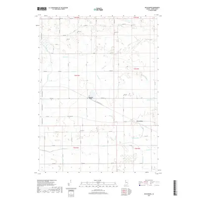
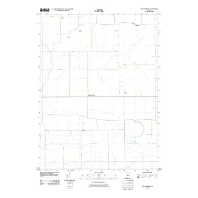 2010 McCoysburg2010 Print · USGSCovers Pleasant Ridge, including McCoysburg, Moody, and other nearby areas
 - 2013 Map of McCoysburg, 2013 Print
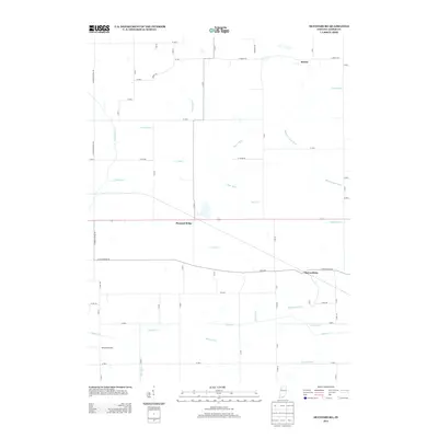 2013 McCoysburg2013 Print · USGSCovers Pleasant Ridge, including McCoysburg, Moody, and other nearby areas
 - 2016 Map of McCoysburg, 2016 Print
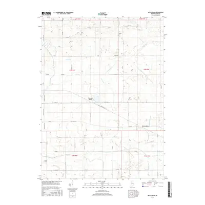 2016 McCoysburg2016 Print · USGSCovers Pleasant Ridge, including McCoysburg, Moody, and other nearby areas
 - 2019 Map of McCoysburg, 2019 Print
 2019 McCoysburg2019 Print · USGSCovers Pleasant Ridge, including McCoysburg, Moody, and other nearby areas
 - 2022 Map of McCoysburg, 2022 Print
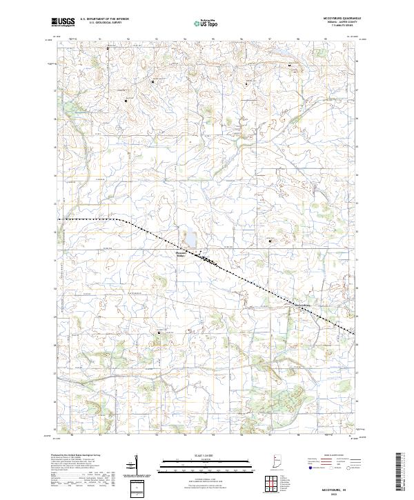 2022 McCoysburg2022 Print · USGSNorthwest Indiana's agricultural heartland is documented here in the early twenty-first century, showcasing the intricate drainage systems and family-named cemeteries of Jasper County. Genealogists can locate small rural burial grounds like Hankie Cem and Rees Cem while tracing watercourses like Slough Creek and Sage Ditch.
End of results
Showing maps 1-11 of 11
Top cities near Pleasant Ridge
- Rensselaer historical maps
- Monon historical maps
- Remington historical maps
- Goodland historical maps
- Wolcott historical maps
- Francesville historical maps
See more
Frequently asked questions
- What are the different types of historical maps available for Pleasant Ridge?
- What is the oldest map of Pleasant Ridge?
- Where can I purchase historical maps of Pleasant Ridge for my home or office?
- Where can I download high-res historical maps of Pleasant Ridge?
- Are there historical topographic maps available for Pleasant Ridge?
- Is there historical aerial imagery available for Pleasant Ridge?
- Where are historical maps of Pleasant Ridge sourced from?