Old Maps of Pennville, Indiana for Hiking & Exploration
Hike through history with 16 historic maps of Pennville. Explore old trails, ghost towns, and forgotten backroads — perfect for outdoor adventurers and local explorers.
- Rediscover forgotten places: Map out old mining camps, roads, and footpaths that no longer exist on modern maps.
- Layer with modern tools: Combine with LiDAR or satellite views to plan hikes through historical terrain.
- Made for exploration: Popular among hikers, overlanders, and local history lovers.
Use these maps to find adventure and explore the hidden past of Pennville.
Pennville, IN maps
(16)- 1953 Map of Muncie, 1966 Print
 1953 Muncie1966 Print · USGSIndiana and Ohio borderlands thrive in the early fifties, showing a landscape defined by manufacturing cities and an intensive railroad network. Genealogists can trace family roots across the Indiana-Ohio line through Muncie, Celina, and Portland via the Pennsylvania railroad.5 unique versions available
 - 1956 Map of Muncie
 1956 Muncie1956 Print · USGSEastern Indiana and western Ohio are shown at a peak of rail-driven industry in the mid-fifties. Genealogists and rail historians can trace the paths of the Pennsylvania RR through Muncie or locate landmarks like Lake Saint Marys (Grand Lake Reservoir) and Frances Slocum State Forest.
 - 1960 Map of Pennville, 1961 Print
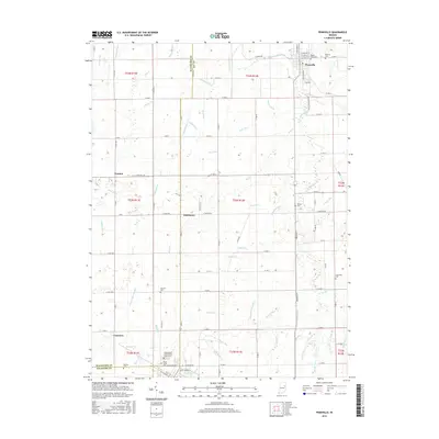
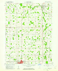 1960 Pennville1961 Print · USGSIndiana's eastern farmland is documented here in the early sixties, showing the vital rail and river networks of Jay and Blackford counties. Researchers can locate family landmarks like Maple Lawn Cem, the crossroads of Ridertown, and the Pennsylvania Railroad corridor.2 unique versions available
 - 1962 Map of Petroleum, 1964 Print
 1962 Petroleum1964 Print · USGSEast-central Indiana's rural landscape is captured here in the early sixties, showing the intersection of three counties along the Salamonie River. Researchers can trace old property lines and community landmarks like Petroleum Sch, Gilead Ch, and the namesake Oil Wells of the region.
 - 1986 Map of Wabash
 1986 Wabash1986 Print · USGSThe Wabash Valley and surrounding Indiana farm country are captured here in the mid-eighties, showing a landscape reshaped by major reservoirs. Genealogists and local historians can trace the paths of the Old Indian Trail and the industrial reach of the Conrail line through towns like Lagro and Warren.2 unique versions available
 - 1986 Map of Muncie
 1986 Muncie1986 Print · USGSEast Central Indiana was a hub of manufacturing and higher education in the mid-eighties. Genealogists and historians can trace the streets of Muncie, locate rural Cem sites, and explore landmarks like Mounds State Park and Taylor Univ.3 unique versions available
 - 2010 Map of Petroleum, 2010 Print
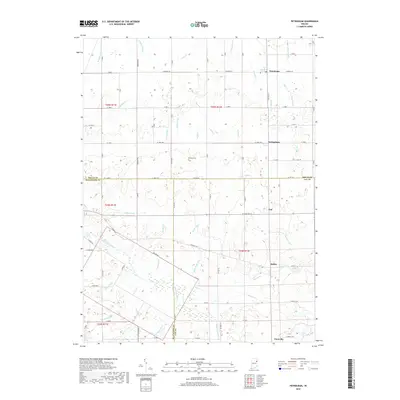
 2010 Petroleum2010 Print · USGSCovers Pennville, including Nottingham, Fiat, and other nearby areas
 - 2010 Map of Pennville, 2010 Print
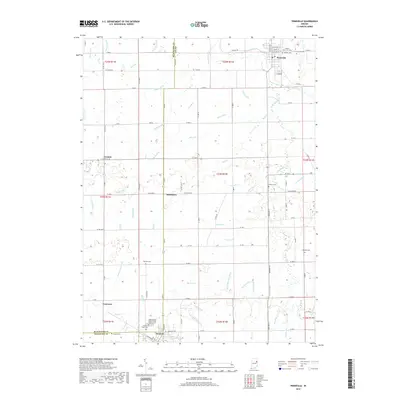
 2010 Pennville2010 Print · USGSCovers Pennville, including Dunkirk, Converse, and other nearby areas
 - 2013 Map of Pennville, 2013 Print
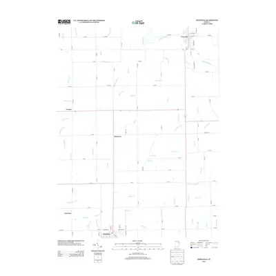 2013 Pennville2013 Print · USGSCovers Pennville, including Dunkirk, Converse, and other nearby areas
 - 2013 Map of Petroleum, 2013 Print
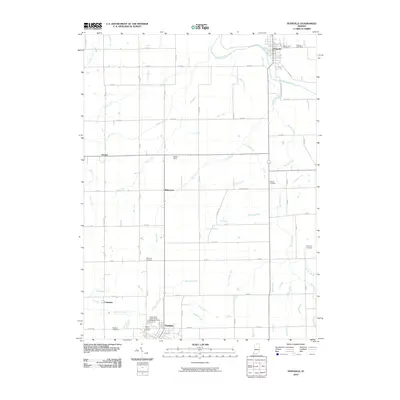
 2013 Petroleum2013 Print · USGSCovers Pennville, including Nottingham, Fiat, and other nearby areas
 - 2016 Map of Pennville, 2016 Print
 2016 Pennville2016 Print · USGSCovers Pennville, including Dunkirk, Converse, and other nearby areas
 - 2016 Map of Petroleum, 2016 Print
 2016 Petroleum2016 Print · USGSCovers Pennville, including Nottingham, Fiat, and other nearby areas
 - 2019 Map of Pennville, 2019 Print
 2019 Pennville2019 Print · USGSCovers Pennville, including Dunkirk, Converse, and other nearby areas
 - 2019 Map of Petroleum, 2019 Print
 2019 Petroleum2019 Print · USGSCovers Pennville, including Nottingham, Fiat, and other nearby areas
 - 2022 Map of Pennville, 2022 Print
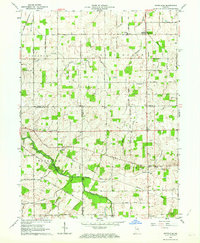
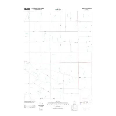
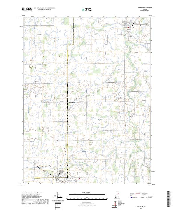 2022 Pennville2022 Print · USGSThe rural borders of Jay and Blackford Counties are revealed in this study of the Indiana heartland during the early twenty-first century. Genealogists can trace family names at sites like Maple Lawn Cem, Mount Tabor Cem, and the Independent Order of Odd Fellows Cem.
 - 2022 Map of Petroleum, 2022 Print
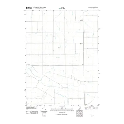
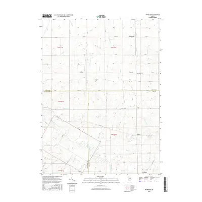
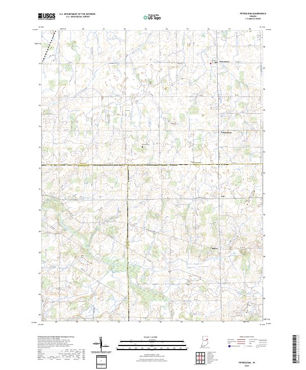 2022 Petroleum2022 Print · USGSEast-central Indiana farmland near the intersection of Wells, Jay, and Blackford counties is shown here in the 2020s. Trace local family history at Bloxsom Cem and the small settlements of Petroleum, Nottingham, and Balbec.
End of results
Showing maps 1-16 of 16
Top cities near Pennville
- Bluffton historical maps
- Portland historical maps
- Hartford City historical maps
- Berne historical maps
- Montpelier historical maps
- Eaton historical maps
See more
Frequently asked questions
- What are the different types of historical maps available for Pennville?
- What is the oldest map of Pennville?
- Where can I purchase historical maps of Pennville for my home or office?
- Where can I download high-res historical maps of Pennville?
- Are there historical topographic maps available for Pennville?
- Is there historical aerial imagery available for Pennville?
- Where are historical maps of Pennville sourced from?