2000s (21st Century) Maps of Pennville, Indiana
Explore 10 historic maps of Pennville from the 2000s (21st Century). These maps offer a rare glimpse into what life looked like during the 2000s — showing old roads, neighborhoods, homes, and landmarks that have changed or disappeared over time.
Whether you're researching your family's past, planning a metal detecting trip, or studying how Pennville's landscape evolved across the 2000s, these high-resolution maps are a powerful tool for exploring the history of this region.
- Focus on a specific era: All maps on this page are from the 2000s, giving you a focused view of this time period.
- See what’s changed: Compare century-old streets, trails, and buildings to today's modern landscape using overlays and satellite layers.
- Research with precision: Use these maps for genealogy, historical research, land use analysis, or educational projects.
- View, download, or print: Maps are fully viewable online in high resolution, and can be downloaded or printed for your own records.
Start exploring Pennville's history through authentic maps from the 2000s. This is your window into the past.
Pennville, IN maps
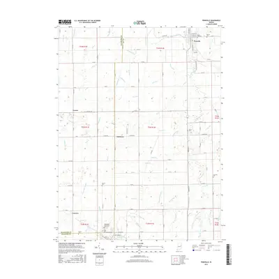
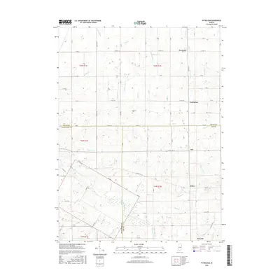
(10)- 2010 Map of Petroleum, 2010 Print
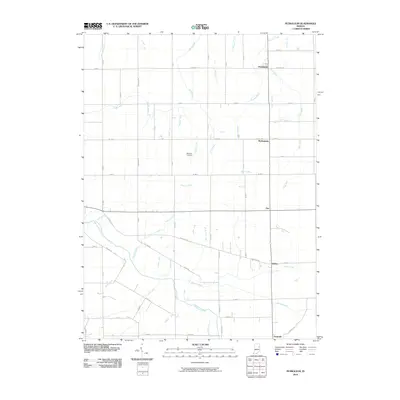 2010 Petroleum2010 Print · USGSCovers Pennville, including Nottingham, Fiat, and other nearby areas
 - 2010 Map of Pennville, 2010 Print
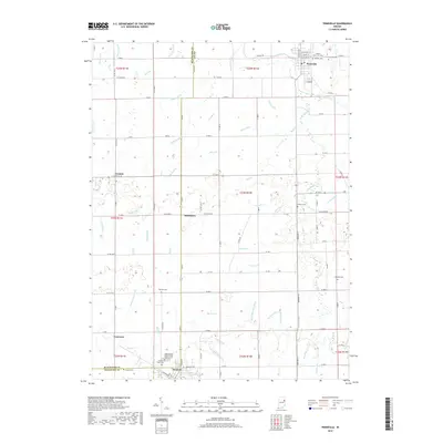
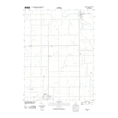 2010 Pennville2010 Print · USGSCovers Pennville, including Dunkirk, Converse, and other nearby areas
 - 2013 Map of Pennville, 2013 Print
 2013 Pennville2013 Print · USGSCovers Pennville, including Dunkirk, Converse, and other nearby areas
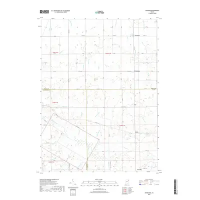
 - 2013 Map of Petroleum, 2013 Print
 2013 Petroleum2013 Print · USGSCovers Pennville, including Nottingham, Fiat, and other nearby areas
 - 2016 Map of Pennville, 2016 Print
 2016 Pennville2016 Print · USGSCovers Pennville, including Dunkirk, Converse, and other nearby areas
 - 2016 Map of Petroleum, 2016 Print
 2016 Petroleum2016 Print · USGSCovers Pennville, including Nottingham, Fiat, and other nearby areas
 - 2019 Map of Pennville, 2019 Print
 2019 Pennville2019 Print · USGSCovers Pennville, including Dunkirk, Converse, and other nearby areas
 - 2019 Map of Petroleum, 2019 Print
 2019 Petroleum2019 Print · USGSCovers Pennville, including Nottingham, Fiat, and other nearby areas
 - 2022 Map of Pennville, 2022 Print
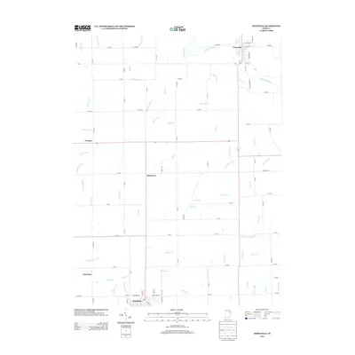
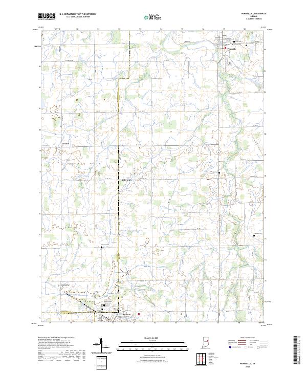 2022 Pennville2022 Print · USGSThe rural borders of Jay and Blackford Counties are revealed in this study of the Indiana heartland during the early twenty-first century. Genealogists can trace family names at sites like Maple Lawn Cem, Mount Tabor Cem, and the Independent Order of Odd Fellows Cem.
 - 2022 Map of Petroleum, 2022 Print
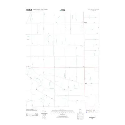
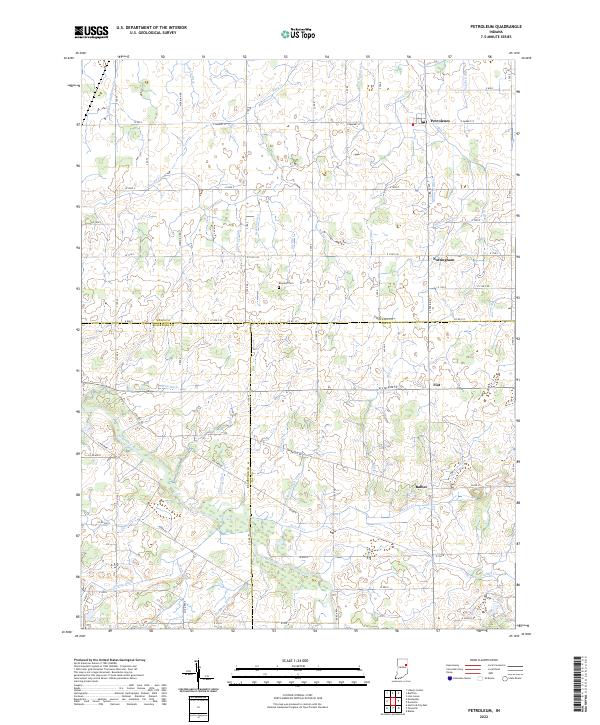 2022 Petroleum2022 Print · USGSEast-central Indiana farmland near the intersection of Wells, Jay, and Blackford counties is shown here in the 2020s. Trace local family history at Bloxsom Cem and the small settlements of Petroleum, Nottingham, and Balbec.
End of results
Showing maps 1-10 of 10
Top cities near Pennville
- Bluffton historical maps
- Portland historical maps
- Hartford City historical maps
- Berne historical maps
- Montpelier historical maps
- Eaton historical maps
See more
Frequently asked questions
- What are the different types of historical maps available for Pennville?
- What is the oldest map of Pennville?
- Where can I purchase historical maps of Pennville for my home or office?
- Where can I download high-res historical maps of Pennville?
- Are there historical topographic maps available for Pennville?
- Is there historical aerial imagery available for Pennville?
- Where are historical maps of Pennville sourced from?