Old Maps of Madison, Indiana for Hiking & Exploration
Hike through history with 35 historic maps of Madison. Explore old trails, ghost towns, and forgotten backroads — perfect for outdoor adventurers and local explorers.
- Rediscover forgotten places: Map out old mining camps, roads, and footpaths that no longer exist on modern maps.
- Layer with modern tools: Combine with LiDAR or satellite views to plan hikes through historical terrain.
- Made for exploration: Popular among hikers, overlanders, and local history lovers.
Use these maps to find adventure and explore the hidden past of Madison.
Madison, IN maps
(35)- 1939 Map of Madison West
 1939 Madison West1939 Print · USGSThe river bluffs of Jefferson County are captured here just before the Second World War, showing the steep topography of the Ohio River valley. Researchers can trace local landmarks like Hanover College, Clifty Falls State Park, and rural sites like Antioch Grange.3 unique versions available
 - 1948 Map of Madison West
 1948 Madison West1948 Print · USGSThe river bluffs of Jefferson County are captured here in the late 1930s, showing the early development of Clifty Falls State Park and Hanover College. Researchers can trace the Pennsylvania railroad tracks or locate early landmarks like Antioch Grange and Springdale Cem.2 unique versions available
 - 1953 Map of Madison West, 1954 Print
 1953 Madison West1954 Print · USGSThe bluffs of the Ohio River define this mid-century portrait of the Indiana and Kentucky borderlands. Genealogists and local historians can trace the foundations of Hanover College, find rural landmarks like Old Bethel Cem, and locate the old path of the Pennsylvania RR.2 unique versions available
 - 1953 Map of Madison East, 1955 Print
 1953 Madison East1955 Print · USGSThe Ohio River valley and the Kentucky uplands are captured in the early fifties, documenting a landscape of ridge-top farms and river towns. Genealogists can trace family connections through numerous rural landmarks like Mt Carmel Ch, Hunters Bottom, and Locust Sch.2 unique versions available
 - 1956 Map of Clifty Falls, 1957 Print
 1956 Clifty Falls1957 Print · USGSJefferson County in the late fifties was a landscape of stark contrasts, where the deep canyons of Clifty Falls State Park met the secured perimeter of the Jefferson Proving Ground. Genealogists and local historians can map out rural life via Smyrna, the Wirt Sta railroad stop, and family grounds like Higbie Cem.
 - 1956 Map of Canaan, 1958 Print
 1956 Canaan1958 Print · USGSJefferson County’s rural highlands are captured here in the mid-fifties, showing a landscape defined by ridges and deep hollows. Researchers can locate family landmarks like the Eagle Springs Grange Hall, Olive Branch Cem, and the community of Manville.
 - 1956 Map of Louisville, 1971 Print
 1956 Louisville1971 Print · USGSThe Ohio River valley and the Kentucky Bluegrass are captured here during a period of rapid mid-century growth and industrial activity. Genealogists and historians can trace rail-centered towns and military land use at Fort Knox and the Jefferson Proving Ground.2 unique versions available
 - 1964 Map of Louisville
 1964 Louisville1964 Print · USGSThe Ohio River valley and Kentucky Bluegrass are captured in the mid-1960s, showing a region balanced between industrial growth and its agrarian roots. Genealogists and historians can trace the development of county seats like Shelbyville and Paris, or locate established institutions such as Georgetown College and Bernheim Forest.
 - 1964 Map of Clifty Falls, 1965 Print
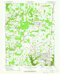 1964 Clifty Falls1965 Print · USGSMadison and its rugged creek valleys are captured in the mid-sixties, showcasing the area's transition from the sprawling military reservation to the Ohio River bluffs. Researchers can trace historic family burial sites like St Patricks Cem and landmarks such as Hanging Rock and Wirt Station.3 unique versions available
 - 1964 Map of Madison West, 1966 Print
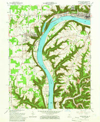 1964 Madison West1966 Print · USGSThe Indiana-Kentucky borderlands come into focus during the mid-sixties, dominated by the winding river and the bluff-top campuses of the Madison area. Researchers can trace the grounds of Hanover College, the Madison State Hospital, and numerous family burial sites like Moffett Cem and Zion Cem.5 unique versions available
 - 1971 Map of Madison East, 1973 Print
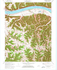 1971 Madison East1973 Print · USGSThe Ohio River corridor at the Indiana-Kentucky border is shown here in the early seventies, featuring the riverfront hub of Madison. Researchers can trace old ridge-top settlements and rural landmarks like St Peters Ch, Monitor, and Mt Carmel Ch.4 unique versions available
 - 1971 Map of Canaan, 1973 Print
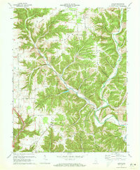 1971 Canaan1973 Print · USGSJefferson County in the early seventies shows a landscape of ridge-top settlements and deep hollows. Genealogists can trace family roots through numerous sites like Hebron Ch Cem, the Eagle Springs Grange Hall, and the village of Manville.3 unique versions available
 - 1986 Map of Madison
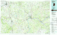 1986 Madison1986 Print · USGSSouthern Indiana and Northern Kentucky are shown here in the mid-eighties, centered on the river corridor and the sprawling Jefferson Proving Ground. Genealogists and historians can trace rail lines like the Seaboard System and locate river towns from Madison to Bethlehem.
 - 1990 Map of Madison, 1991 Print
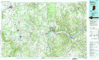 1990 Madison1991 Print · USGSThe Ohio River valley and the southern Indiana plains are documented here in the final decade of the twentieth century. Genealogists and historians can trace family-named crossroads and established rail towns like Dudleytown, Austin, and Crothersville along the P C RR line.
 - 1992 Map of Clifty Falls, 1995 Print
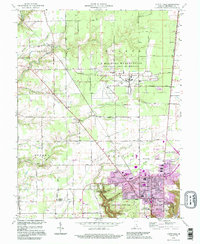 1992 Clifty Falls1995 Print · USGSJefferson County in the early 1990s reveals a unique landscape shaped by military operations and dramatic river bluffs. Researchers can trace family sites like Higbie Cem and Liberty Ch or explore the massive Jefferson Proving Ground.
 - 2010 Map of Madison East, 2010 Print
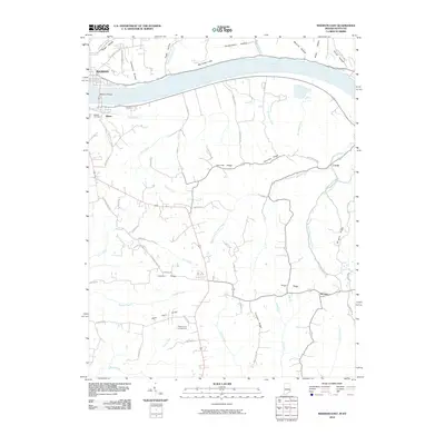 2010 Madison East2010 Print · USGSThe riverfront communities of Madison and Milton are captured here as they appeared in 2010, connected by the Madison Bridge over the Ohio River. Researchers can trace rural Kentucky settlements like Locust and Monitor or find local landmarks such as Moffett Cemetery and Callis Grove Campground.
 - 2010 Map of Clifty Falls, 2010 Print
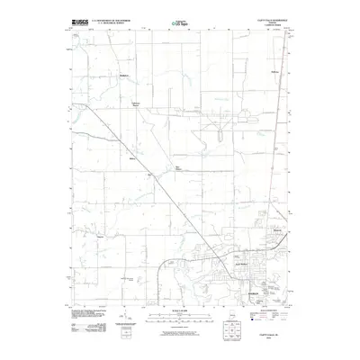 2010 Clifty Falls2010 Print · USGSMadison and North Madison are shown here at a time when the rural periphery and the established city were deeply interconnected by rail and water. Researchers can locate many family burial sites like Blands Cemetery or trace the path of Big Clifty Creek past landmarks like Clifty Falls and Hanging Rock.
 - 2010 Map of Madison West, 2010 Print
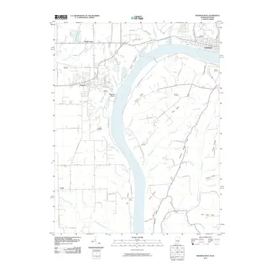 2010 Madison West2010 Print · USGSThe high bluffs and river bottoms of the Indiana-Kentucky border are captured here in the early twenty-first century. Researchers can trace land patterns and local genealogy through sites like Antioch Grange, Greenbriar Cemetery, and the cluster of Butler and Chain Mill Falls.
 - 2010 Map of Canaan, 2010 Print
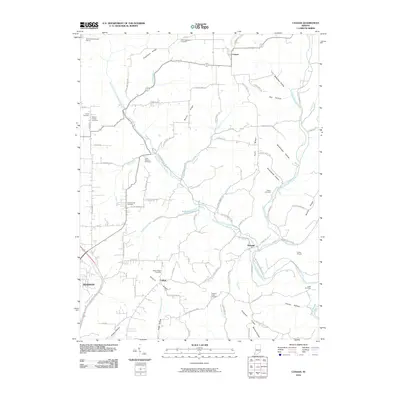 2010 Canaan2010 Print · USGSThe upland ridges and creek bottoms of Jefferson County appear here in the early twenty-first century, centered on the historic crossroads of Canaan. Researchers can locate several family-named landmarks and cemeteries, including Rykers Ridge Cemetery, the Indian Mound near Manville, and Hebron Church.
 - 2013 Map of Canaan, 2013 Print
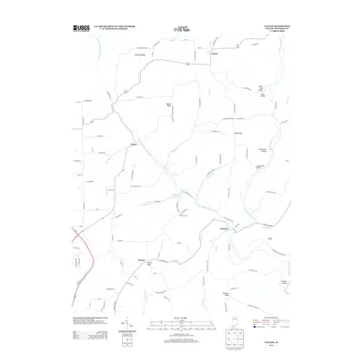 2013 Canaan2013 Print · USGSJefferson County’s high ridges and rural settlements are preserved here in the early twenty-first century. Genealogists and local historians can trace the topography surrounding Canaan, China, and Manville, or locate landmarks like the Indian Mound and Rykers Ridge.
 - 2013 Map of Clifty Falls, 2013 Print
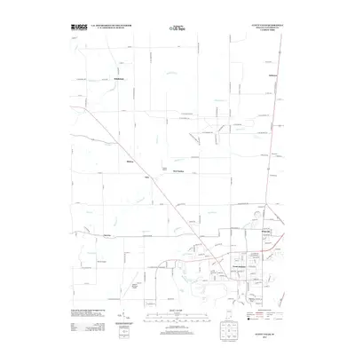 2013 Clifty Falls2013 Print · USGSJefferson County’s landscape near Madison is captured here during a period of modern aviation and residential growth. Genealogists and hikers can trace old routes near Clifty Falls or locate landmarks like Wirt Station and the historic Hanging Rock.
 - 2013 Map of Madison West, 2013 Print
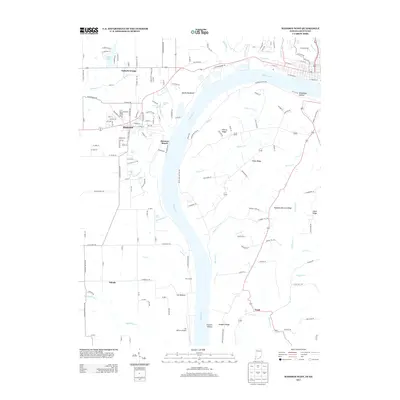 2013 Madison West2013 Print · USGSThe Indiana bluffs overlooking the Ohio River are documented here in the early twenty-first century, showing the unique river-bottom landscape. Genealogists and local historians can locate Hanover, the Lee Bottom Airport, and numerous local cascades like Chain Mill Falls.
 - 2013 Map of Madison East, 2013 Print
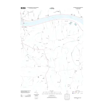 2013 Madison East2013 Print · USGSThe Ohio River valley and the high ridges of Trimble County are captured here in the early 2010s. Researchers can trace rural life and terrain through settlements like Milton and Locust, or find family-named landmarks such as Leeport Ridge and Big Cedar Cliffs.
 - 2016 Map of Canaan, 2016 Print
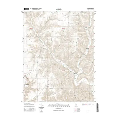 2016 Canaan2016 Print · USGSEastern Jefferson County in the early twenty-first century is a landscape of high ridges and winding creek valleys. Researchers can trace family history through numerous rural burial sites like Olive Branch Cem and the small settlements of Canaan and China.
 - 2016 Map of Clifty Falls, 2016 Print
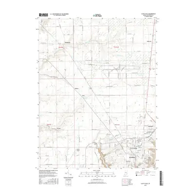 2016 Clifty Falls2016 Print · USGSMadison and Jefferson County are documented here in the mid-2010s, showcasing the region's unique geography where the plateau drops toward the Ohio River. Researchers can trace family sites at Saint Josephs Cem or locate natural landmarks like Hoffman Falls and Hanging Rock.
Showing maps 1-25 of 35
Top cities near Madison
- Carrollton historical maps
- Hanover historical maps
- Lexington historical maps
- Lancaster historical maps
- Pleasant historical maps
- Saluda historical maps
See more
Top neighborhoods of Madison
Frequently asked questions
- What are the different types of historical maps available for Madison?
- What is the oldest map of Madison?
- Where can I purchase historical maps of Madison for my home or office?
- Where can I download high-res historical maps of Madison?
- Are there historical topographic maps available for Madison?
- Is there historical aerial imagery available for Madison?
- Where are historical maps of Madison sourced from?