2000s (21st Century) Maps of Jennings County, Indiana
Explore 75 historic maps of Jennings County from the 2000s (21st Century). These maps offer a rare glimpse into what life looked like during the 2000s — showing old roads, neighborhoods, homes, and landmarks that have changed or disappeared over time.
Whether you're researching your family's past, planning a metal detecting trip, or studying how Jennings County's landscape evolved across the 2000s, these high-resolution maps are a powerful tool for exploring the history of this region.
- Focus on a specific era: All maps on this page are from the 2000s, giving you a focused view of this time period.
- See what’s changed: Compare century-old streets, trails, and buildings to today's modern landscape using overlays and satellite layers.
- Research with precision: Use these maps for genealogy, historical research, land use analysis, or educational projects.
- View, download, or print: Maps are fully viewable online in high resolution, and can be downloaded or printed for your own records.
Start exploring Jennings County's history through authentic maps from the 2000s. This is your window into the past.
Jennings County, IN maps
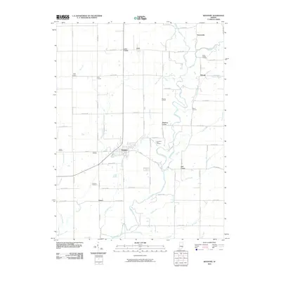
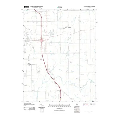
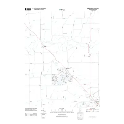
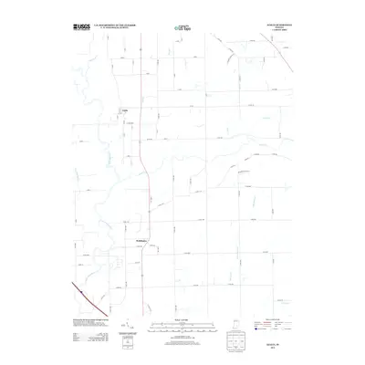
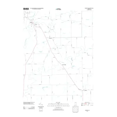
(75)- 2010 Map of Volga, 2010 Print
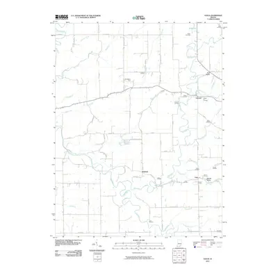 2010 Volga2010 Print · USGSCovers Jennings County, including Lancaster, Five Points, and other nearby areas
 - 2010 Map of Millhousen, 2010 Print
 2010 Millhousen2010 Print · USGSCovers Jennings County, including Millhousen, Tuckertown, and other nearby areas
 - 2010 Map of Holton, 2010 Print
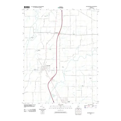
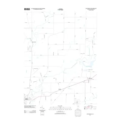
 2010 Holton2010 Print · USGSCovers Jennings County, including Jackson, Holton, and other nearby areas
 - 2010 Map of Butlerville, 2010 Print
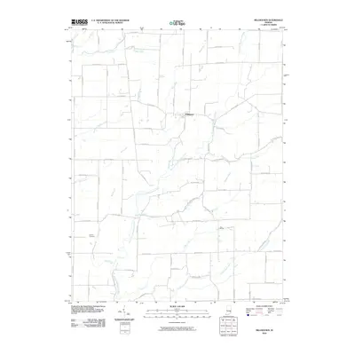
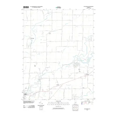 2010 Butlerville2010 Print · USGSCovers Jennings County, including North Vernon, Brewersville, and other nearby areas
 - 2010 Map of Westport, 2010 Print
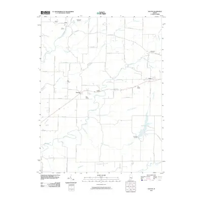
 2010 Westport2010 Print · USGSCovers Jennings County, including Westport, Harper, and other nearby areas
 - 2010 Map of Vernon, 2010 Print
 2010 Vernon2010 Print · USGSCovers Jennings County, including North Vernon, Dupont, and other nearby areas
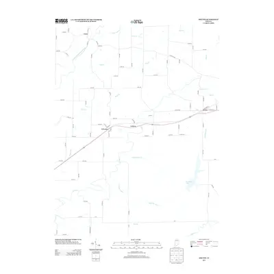
 - 2010 Map of Hayden, 2010 Print
 2010 Hayden2010 Print · USGSCovers Jennings County, including North Vernon, Lovett, and other nearby areas
 - 2010 Map of Deputy, 2010 Print
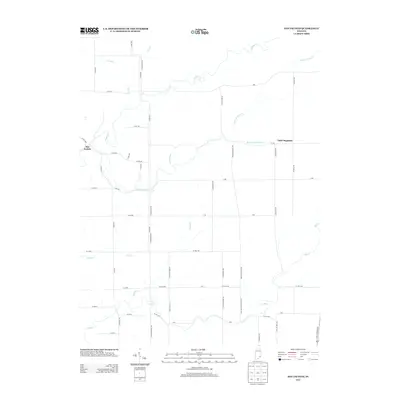
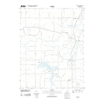 2010 Deputy2010 Print · USGSCovers Jennings County, including Paris Crossing, Commiskey, and other nearby areas
 - 2010 Map of Chestnut Ridge, 2010 Print
 2010 Chestnut Ridge2010 Print · USGSCovers Jennings County, including Seymour, Kriete Corner, and other nearby areas
 - 2010 Map of Crothersville, 2010 Print
 2010 Crothersville2010 Print · USGSCovers Jennings County, including Austin, Crothersville, and other nearby areas
 - 2010 Map of Grammer, 2010 Print
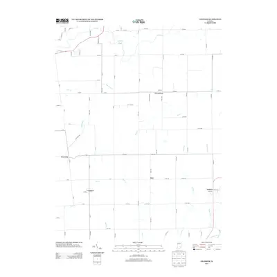
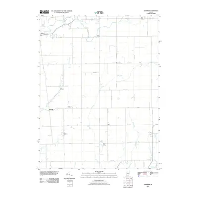 2010 Grammer2010 Print · USGSCovers Jennings County, including Sardinia, Waynesburg, and other nearby areas
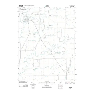
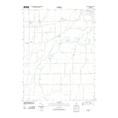
 - 2010 Map of Azalia, 2010 Print
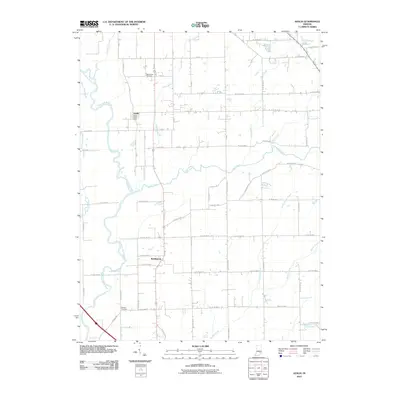 2010 Azalia2010 Print · USGSCovers Jennings County, including Reddington, Azalia, and other nearby areas
 - 2010 Map of Elizabethtown, 2010 Print
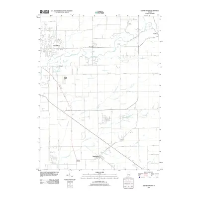 2010 Elizabethtown2010 Print · USGSCovers Jennings County, including Columbus, Elizabethtown, and other nearby areas
 - 2010 Map of San Jacinto, 2010 Print
 2010 San Jacinto2010 Print · USGSCovers Jennings County, including San Jacinto, Jefferson County, and other nearby areas
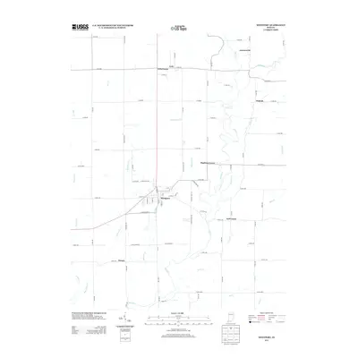
 - 2010 Map of North Vernon, 2010 Print
 2010 North Vernon2010 Print · USGSCovers Jennings County, including North Vernon, Scipio, and other nearby areas
 - 2013 Map of Elizabethtown, 2013 Print
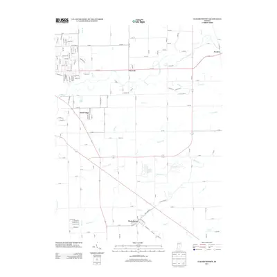 2013 Elizabethtown2013 Print · USGSCovers Jennings County, including Columbus, Elizabethtown, and other nearby areas
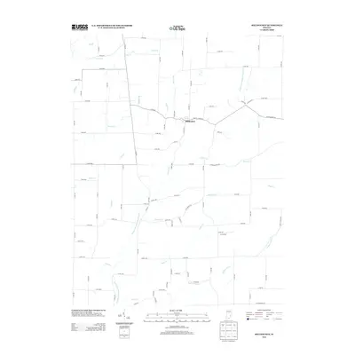
 - 2013 Map of North Vernon, 2013 Print
 2013 North Vernon2013 Print · USGSCovers Jennings County, including North Vernon, Scipio, and other nearby areas
 - 2013 Map of Holton, 2013 Print
 2013 Holton2013 Print · USGSCovers Jennings County, including Jackson, Holton, and other nearby areas
 - 2013 Map of Westport, 2013 Print
 2013 Westport2013 Print · USGSCovers Jennings County, including Westport, Harper, and other nearby areas
 - 2013 Map of Millhousen, 2013 Print
 2013 Millhousen2013 Print · USGSCovers Jennings County, including Millhousen, Tuckertown, and other nearby areas
 - 2013 Map of Azalia, 2013 Print
 2013 Azalia2013 Print · USGSCovers Jennings County, including Reddington, Azalia, and other nearby areas
 - 2013 Map of Butlerville, 2013 Print
 2013 Butlerville2013 Print · USGSCovers Jennings County, including North Vernon, Brewersville, and other nearby areas
 - 2013 Map of Grammer, 2013 Print
 2013 Grammer2013 Print · USGSCovers Jennings County, including Sardinia, Waynesburg, and other nearby areas
 - 2013 Map of San Jacinto, 2013 Print
 2013 San Jacinto2013 Print · USGSCovers Jennings County, including San Jacinto, Jefferson County, and other nearby areas
 - 2013 Map of Vernon, 2013 Print
 2013 Vernon2013 Print · USGSCovers Jennings County, including North Vernon, Dupont, and other nearby areas
Showing maps 1-25 of 75
Top cities of Jennings County
Frequently asked questions
- What are the different types of historical maps available for Jennings County?
- What is the oldest map of Jennings County?
- Where can I purchase historical maps of Jennings County for my home or office?
- Where can I download high-res historical maps of Jennings County?
- Are there historical topographic maps available for Jennings County?
- Is there historical aerial imagery available for Jennings County?
- Where are historical maps of Jennings County sourced from?