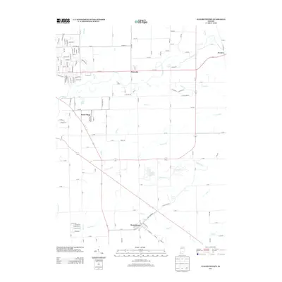
2013 Map of Elizabethtown
USGS Topo · Published 2013About this map
Elizabethtown and Petersville anchor this 2013 survey of the landscape east of Columbus, Indiana. The area is defined by a dense network of watercourses, including Fishers Fork, Clifty Cr, and Little Sand Cr, which drain the agricultural lands between small residential clusters. In the north, Petersville sits along 25th St, while the newer developments of Jewell Village and the historic crossroads at Newbern illustrate the varied settlement patterns of Bartholomew County. The map provides a clear view of the rural-to-suburban transition, with private water features like Suhre Lake and numerous drainage ditches like Armuth Ditch supporting the local topography. This detailed layout is essential for understanding the modern hydraulic and transport infrastructure of this part of the state, from the winding paths of Cooks Cr to the grid of county roads.
Find a feature on this map
136 named features on this map. Tap any name to fly to it.
Don’t see what you’re looking for? This feature index may not catch every label — zoom into the map to look around manually.
Map Details
Editions of this 2013 Elizabethtown Map
This is the sole edition of this map. No revisions or reprints were ever made.
Other maps of this area

1942 · Columbus
USGS Topo · 1:125,000

1947 · Hope
USGS Topo · 1:24,000

1948 · Edinburg
USGS Topo · 1:24,000

1948 · Hope
USGS Topo · 1:24,000

1950 · Edinburg
USGS Topo · 1:62,500

1953 · Cincinnati
USGS Topo · 1:250,000

1957 · Cincinnati
USGS Topo · 1:250,000

1957 · Jonesville
USGS Topo · 1:24,000

1957 · Azalia
USGS Topo · 1:24,000

1957 · North Vernon
USGS Topo · 1:24,000