
1957 Map of North Vernon
USGS Topo · Published 1958About this map
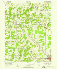
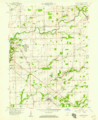
Sand Creek meanders through the heart of this landscape, its winding course crossed by a Covered Bridge near the settlement of Scipio. The 1950s infrastructure is well-defined by the convergence of the Pennsylvania and Baltimore and Ohio railroads, which intersect at the growing regional hub of North Vernon. This transition from rural agriculture to mid-century development is visible in the presence of the Drive-in Theater and the Fairgrounds on the town’s outskirts. Local history is deeply etched into the countryside through a network of small family and community burial grounds, such as Hulse Cem, Benton Cem, and Henry Cem. The northern terrain is defined by several small tributaries including Wyaloosing Creek and Rat Tail Creek, while the Treaty Line provides a distinct historical boundary stretching across the central fields.
Find a feature on this map
40 named features on this map. Tap any name to fly to it.
Don’t see what you’re looking for? This feature index may not catch every label — zoom into the map to look around manually.
Map Details
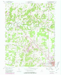
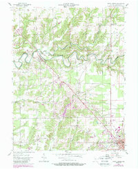
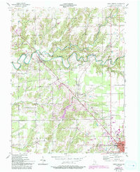
Editions of this 1957 North Vernon Map
5 editions found
Other maps of this area

1942 · Columbus
USGS Topo · 1:125,000

1953 · Cincinnati
USGS Topo · 1:250,000

1956 · Louisville
USGS Topo · 1:250,000

1957 · Cincinnati
USGS Topo · 1:250,000

1957 · Butlerville
USGS Topo · 1:24,000

1957 · Azalia
USGS Topo · 1:24,000

1958 · Westport
USGS Topo · 1:24,000

1958 · Grammer
USGS Topo · 1:24,000
1958 · Elizabethtown
USGS Topo · 1:24,000
1959 · Vernon
USGS Topo · 1:24,000