
1957 Map of Butlerville
USGS Topo · Published 1958About this map
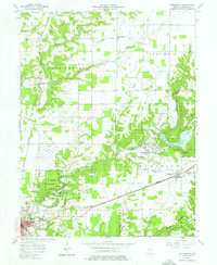
The Muscatatuck State School and its surrounding grounds dominate the eastern landscape of this Jennings County survey. This massive complex, complete with its own State School Cemetery, waterworks, and sewage infrastructure, reflects the era's institutional development near Butlerville. To the west, the North Vernon Airport and a prominent lookout tower overlook the meandering Sand Creek. This territory is deeply marked by early 19th-century history, notably the Treaty Boundary line that cuts across the northern townships of Columbia and Campbell.
Find a feature on this map
43 named features on this map. Tap any name to fly to it.
Don’t see what you’re looking for? This feature index may not catch every label — zoom into the map to look around manually.
Map Details
Editions of this 1957 Butlerville Map
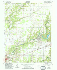
3 editions found
Other maps of this area

1942 · Columbus
USGS Topo · 1:125,000

1953 · Cincinnati
USGS Topo · 1:250,000

1956 · Louisville
USGS Topo · 1:250,000

1957 · Cincinnati
USGS Topo · 1:250,000

1957 · North Vernon
USGS Topo · 1:24,000

1958 · Millhousen
USGS Topo · 1:24,000

1958 · Westport
USGS Topo · 1:24,000

1958 · Grammer
USGS Topo · 1:24,000

1959 · Holton
USGS Topo · 1:24,000

1959 · San Jacinto
USGS Topo · 1:24,000