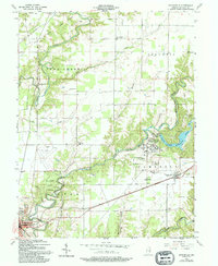
1957 Map of Butlerville
USGS Topo · Published 1994About this map
Indian Treaty Boundary lines cut across the northern terrain of this Jennings County region, marking an older era of land division near Brewersville. The landscape is defined by the winding Muscatatuck River and its Vernon Fork, which provide the drainage for a mix of woodland and agricultural plots. This 1950s survey captures the extensive grounds of the Muscatatuck State School and the protected acreage of the Selmier State Forest, highlighting the state's significant institutional and conservation presence in the area. Local genealogy and community life are grounded in numerous rural landmarks, including St Anns Sch, New Bethel Ch, and the Summerfield Cemetery. To the southeast, the established settlement of Butlerville sits near the Brush Creek Reservoir, while the fringes of North Vernon appear at the southwestern edge, complete with the North Vernon Airport.
Find a feature on this map
39 named features on this map. Tap any name to fly to it.
Don’t see what you’re looking for? This feature index may not catch every label — zoom into the map to look around manually.
Map Details
Editions of this 1957 Butlerville Map
3 editions found
Other maps of this area

1942 · Columbus
USGS Topo · 1:125,000

1953 · Cincinnati
USGS Topo · 1:250,000

1956 · Louisville
USGS Topo · 1:250,000

1957 · Cincinnati
USGS Topo · 1:250,000

1957 · Butlerville
USGS Topo · 1:24,000

1957 · North Vernon
USGS Topo · 1:24,000

1958 · Millhousen
USGS Topo · 1:24,000

1958 · Westport
USGS Topo · 1:24,000

1958 · Grammer
USGS Topo · 1:24,000

1959 · Holton
USGS Topo · 1:24,000