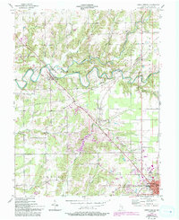
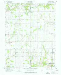
1957 Map of North Vernon
USGS Topo · Published 1993About this map
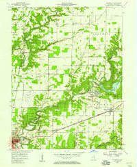
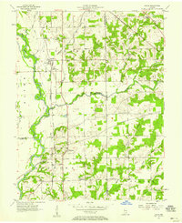
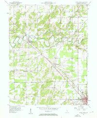
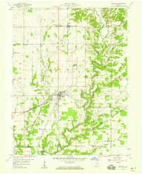
Sand Creek and its many tributaries, including Wyaloosing Creek and Mutton Creek, carve a winding path through this central Indiana landscape. The settlement of Scipio sits at a critical junction of the Railroad and an Old Grade, while further southeast, North Vernon serves as the regional hub, complete with its Fairgrounds, Drive-in Theater, and Hill Crest Cem. The rural reaches are dotted with local landmarks like Oak Grove Ch and Pleasant View Ch, which provided focal points for the farming communities in Geneva and Center townships.
Find a feature on this map
38 named features on this map. Tap any name to fly to it.
Don’t see what you’re looking for? This feature index may not catch every label — zoom into the map to look around manually.
Map Details
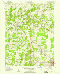
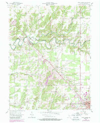
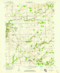
Editions of this 1957 North Vernon Map
5 editions found
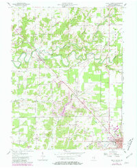
Other maps of this area

1942 · Columbus
USGS Topo · 1:125,000

1953 · Cincinnati
USGS Topo · 1:250,000

1956 · Louisville
USGS Topo · 1:250,000

1957 · Cincinnati
USGS Topo · 1:250,000
1957 · Butlerville
USGS Topo · 1:24,000
1957 · Azalia
USGS Topo · 1:24,000
1957 · North Vernon
USGS Topo · 1:24,000
1958 · Westport
USGS Topo · 1:24,000
1958 · Grammer
USGS Topo · 1:24,000
1958 · Elizabethtown
USGS Topo · 1:24,000