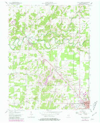
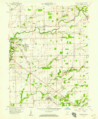
1957 Map of North Vernon
USGS Topo · Published 1981About this map
Sand Creek meanders deeply across this Jennings County landscape, defining the topography of Geneva and Center townships. The rail-oriented development of the mid-20th century is evident in the convergence of the Baltimore and Ohio and Conrail lines at North Vernon, while older transportation routes like the Indian Grade and Old Railroad Grade hint at earlier transit patterns. Cultural landmarks are frequent throughout the rural areas, including the Covered Bridge near Scipio and numerous small country houses of worship such as Pleasant View Ch and Oak Grove Ch.
Find a feature on this map
41 named features on this map. Tap any name to fly to it.
Don’t see what you’re looking for? This feature index may not catch every label — zoom into the map to look around manually.
Map Details
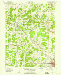
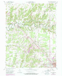
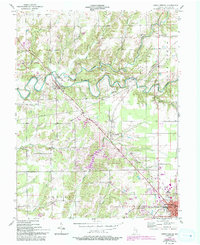
Editions of this 1957 North Vernon Map
5 editions found
Other maps of this area

1942 · Columbus
USGS Topo · 1:125,000

1953 · Cincinnati
USGS Topo · 1:250,000

1956 · Louisville
USGS Topo · 1:250,000

1957 · Cincinnati
USGS Topo · 1:250,000

1957 · Butlerville
USGS Topo · 1:24,000

1957 · Azalia
USGS Topo · 1:24,000

1957 · North Vernon
USGS Topo · 1:24,000

1958 · Westport
USGS Topo · 1:24,000

1958 · Grammer
USGS Topo · 1:24,000
1958 · Elizabethtown
USGS Topo · 1:24,000