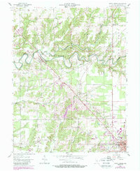
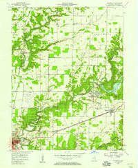
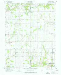
1957 Map of North Vernon
USGS Topo · Published 1988About this map
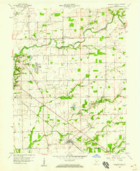
Scipio and Queensville anchor this mid-century look at Jennings County, where the meandering course of Sand Creek defines the local topography. The landscape is marked by a legacy of transportation and passage, from the historic Treaty Line crossing the creek to the abandoned paths of the Old Grade and Indian Grade. These terrestrial markers intersect with the active industrial corridors of the Pennsylvania Railroad and the Baltimore and Ohio Railroad, which converge near North Vernon.
Find a feature on this map
46 named features on this map. Tap any name to fly to it.
Don’t see what you’re looking for? This feature index may not catch every label — zoom into the map to look around manually.
Map Details
Editions of this 1957 North Vernon Map
5 editions found
Other maps of this area

1942 · Columbus
USGS Topo · 1:125,000

1953 · Cincinnati
USGS Topo · 1:250,000

1956 · Louisville
USGS Topo · 1:250,000

1957 · Cincinnati
USGS Topo · 1:250,000
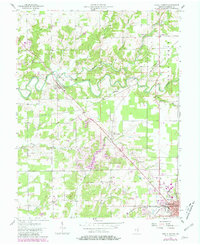
1957 · Butlerville
USGS Topo · 1:24,000
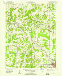
1957 · Azalia
USGS Topo · 1:24,000
1957 · North Vernon
USGS Topo · 1:24,000
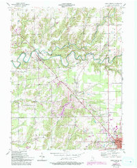
1958 · Westport
USGS Topo · 1:24,000
1958 · Grammer
USGS Topo · 1:24,000
1958 · Elizabethtown
USGS Topo · 1:24,000