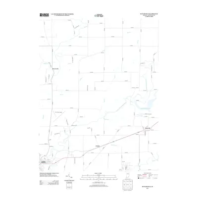
2013 Map of Butlerville
USGS Topo · Published 2013About this map
Butlerville and the eastern outskirts of North Vernon anchor this 2013 survey of the southern Indiana landscape. The terrain is defined by the winding course of the Vernon Fork Muscatatuck River, which feeds into the Brush Creek Reservoir near the Brush Creek Airport. In the northwest, the small settlement of Brewersville sits at the junction of Sand Creek and Bear Creek, illustrating the historical importance of waterway confluences in early county development.
Find a feature on this map
84 named features on this map. Tap any name to fly to it.
Don’t see what you’re looking for? This feature index may not catch every label — zoom into the map to look around manually.
Map Details
Editions of this 2013 Butlerville Map
This is the sole edition of this map. No revisions or reprints were ever made.
Other maps of this area

1942 · Columbus
USGS Topo · 1:125,000

1953 · Cincinnati
USGS Topo · 1:250,000

1956 · Louisville
USGS Topo · 1:250,000

1957 · Cincinnati
USGS Topo · 1:250,000

1957 · Butlerville
USGS Topo · 1:24,000

1957 · North Vernon
USGS Topo · 1:24,000

1958 · Millhousen
USGS Topo · 1:24,000

1958 · Westport
USGS Topo · 1:24,000

1958 · Grammer
USGS Topo · 1:24,000

1959 · Holton
USGS Topo · 1:24,000