Old Maps of Hobart Township, Indiana for Metal Detecting
Plan your next treasure hunt with 24 historic maps of Hobart Township. Find old homesites, ghost towns, trails, and gathering spots that may be lost to time — perfect for identifying promising metal detecting locations.
- Locate forgotten sites: Uncover places like long-lost settlements, abandoned rail lines, or gathering spots.
- Plan better hunts: Use map overlays combined with LiDAR or satellite views to narrow in on historically rich areas.
- Made for detectorists: Thousands of hobbyists use these maps to discover relics, coins, and hidden history.
Use these historic maps to boost your research and find new opportunities beneath the surface of Hobart Township.
Hobart Township, IN maps
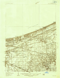
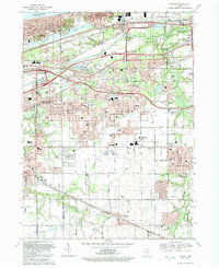
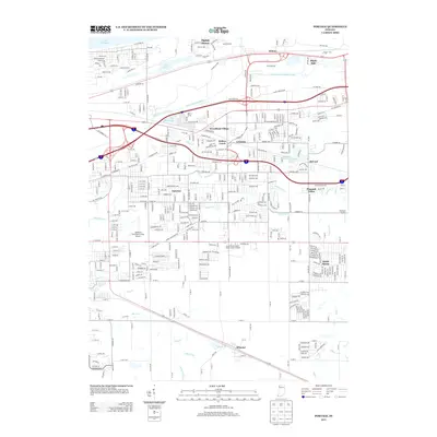
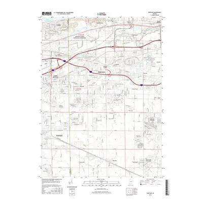
(24)- 1900 Map of Toleston
 1900 Toleston1900 Print · USGSLake County was a booming industrial and transit corridor at the end of the nineteenth century. Researchers can trace the early footprints of Whiting and East Chicago, and locate vanished or evolved rail stops like Clarke Station and Aetna.6 unique versions available
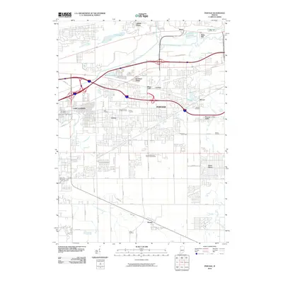
 - 1934 Map of Porter
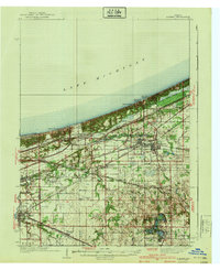
 1934 Porter1934 Print · USGSThe Indiana shoreline of the mid-1930s is mapped here in detail, from the sands of Indiana Dunes State Park to the rail hubs of Chesterton. Trace local family history through sites like the Seven Dolors Shrine, Liberty Center Sch, and the Mc Cool Emergency Landing Field.
 - 1940 Map of Porter
 1940 Porter1940 Print · USGSPorter County's industrial and shoreline heritage is captured here in the years before World War II. Researchers can locate early lakefront settlements like Baillytown or trace the routes of the Wabash and Pere Marquette railroads past Tratebas Mill.3 unique versions available
 - 1953 Map of Gary, 1955 Print
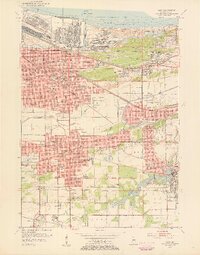 1953 Gary1955 Print · USGSMid-century Gary and the Calumet region are captured here during a peak era of industrial and suburban growth. Researchers can trace family roots through dozens of local landmarks like Holy Angels Sch, Oak Hill Cemetery, and the Miller neighborhood.
 - 1953 Map of Garyton, 1955 Print
 1953 Garyton1955 Print · USGSNorthwest Indiana's dunes and rail corridors are captured here during the mid-fifties industrial boom. Researchers can trace historic family burial sites at Calvary Cemetery and Jaynes Cem or locate early community hubs like the Seven Dolors Shrine and Portage Central Sch.
 - 1953 Map of Chicago, 1964 Print
 1953 Chicago1964 Print · USGSThe southern Lake Michigan shoreline was rapidly modernizing in the mid-fifties, balancing heavy industry with its famous academic centers. Researchers can trace the footprints of Notre Dame University or locate vanished sites like the Kingsbury Ordnance Plant and Meigs Field.5 unique versions available
 - 1957 Map of Chicago
 1957 Chicago1957 Print · USGSThe industrial heartland and southern Great Lakes shoreline are captured here during the peak of mid-century growth. Researchers can trace the massive Gary Steel Works, the grounds of the University of Notre Dame, and the early paths of the Tri-State Tollway.
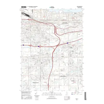
 - 1959 Map of Gary, 1961 Print
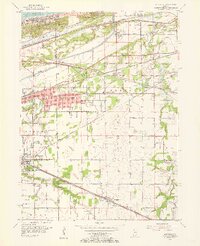
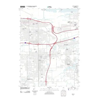
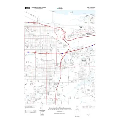
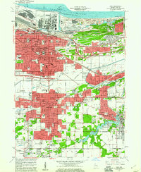 1959 Gary1961 Print · USGSSteel industry and heavy rail dominated this Lake Michigan shoreline in the late fifties as neighborhoods grew around the factories. Genealogists and researchers can trace the development of early Gary and Hobart through local landmarks like Oak Hill Cemetery, Andrean High Sch, and Liverpool.
 - 1960 Map of Portage, 1961 Print
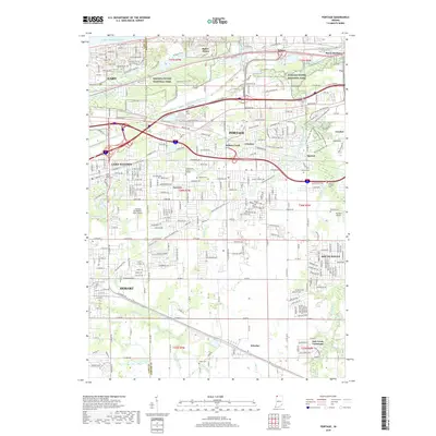
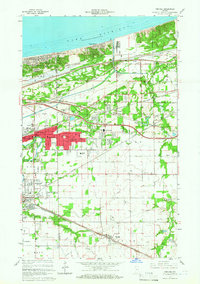 1960 Portage1961 Print · USGSPorter County's lakefront and industrial heartland are captured here during the post-war boom. Genealogists and historians can trace family-named sites like Robbins Cem and Blake Cem or the development of Garyton and Ogden Dunes along the rails.2 unique versions available
 - 1968 Map of Portage, 1970 Print
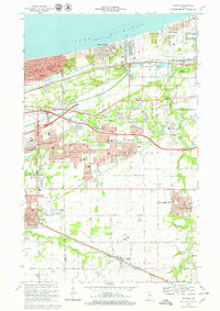 1968 Portage1970 Print · USGSThe Indiana shoreline and its industrial heartland come alive in this late 1960s survey of the dunes and rail corridors. Genealogists and local historians can locate several family landmarks and community anchors like Calvary Cemetery, Seven Dolors Shrine, and Lake Station.4 unique versions available
 - 1968 Map of Gary, 1970 Print
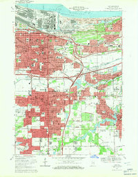 1968 Gary1970 Print · USGSSteel and rail defined the Indiana lakefront in the late sixties as neighborhoods expanded south from Lake Michigan. Genealogists can locate family homes and landmarks like Oak Hill Cemetery, Sacred Heart Sch, and the Indiana Harbor Belt rail lines.3 unique versions available
 - 1980 Map of Chicago
 1980 Chicago1980 Print · USGSThe Chicago metropolitan area and the industrial shores of Northwest Indiana are captured here at the start of the 1980s. Genealogists and local historians can trace the vast urban landscape through landmarks like Loyola University, St Casimir Cemetery, and the busy docks of Calumet Harbor.
 - 1991 Map of Gary
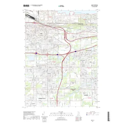
 1991 Gary1991 Print · USGSThe industrial heart of Northwest Indiana is captured here as the lakefront industrial complexes neighbor the Indiana Dunes National Lakeshore. Researchers can trace neighborhood evolution and family roots through dozens of local sites like Oak Hill Cemetery, Froebel Sch, and the Salvatorian Fathers Monastery.2 unique versions available
 - 1992 Map of Portage
 1992 Portage1992 Print · USGSNear the Indiana shoreline in the early 1990s, the landscape of Portage shows a dense mesh of heavy industry and suburban expansion. Genealogists can locate several local burial sites such as Calvary Cemetery and McCool Cem, alongside the rails of the CONRAIL and CSX TRANSPORTATION.
 - 2010 Map of Portage, 2010 Print
 2010 Portage2010 Print · USGSCovers Hobart Township, including Gary, Portage, and other nearby areas
 - 2011 Map of Gary, 2011 Print
 2011 Gary2011 Print · USGSCovers Hobart Township, including Gary, Merrillville, and other nearby areas
 - 2013 Map of Gary, 2013 Print
 2013 Gary2013 Print · USGSCovers Hobart Township, including Gary, Merrillville, and other nearby areas
 - 2013 Map of Portage, 2013 Print
 2013 Portage2013 Print · USGSCovers Hobart Township, including Gary, Portage, and other nearby areas
 - 2016 Map of Portage, 2016 Print
 2016 Portage2016 Print · USGSCovers Hobart Township, including Gary, Portage, and other nearby areas
 - 2016 Map of Gary, 2016 Print
 2016 Gary2016 Print · USGSCovers Hobart Township, including Gary, Merrillville, and other nearby areas
 - 2019 Map of Gary, 2019 Print
 2019 Gary2019 Print · USGSCovers Hobart Township, including Gary, Merrillville, and other nearby areas
 - 2019 Map of Portage, 2019 Print
 2019 Portage2019 Print · USGSCovers Hobart Township, including Gary, Portage, and other nearby areas
 - 2022 Map of Gary, 2022 Print
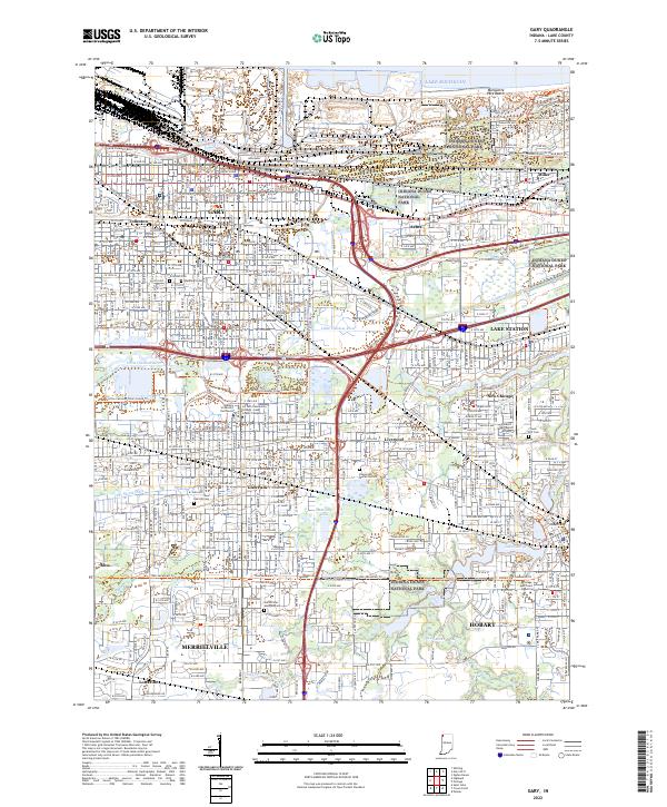 2022 Gary2022 Print · USGSThe industrial and lakeside landscapes of Northwest Indiana are captured here in the early 2020s, from the Lake Michigan shore to Hobart. Researchers can trace urban change and community landmarks like Oak Hill Cem, Hobart Sky Ranch Airport, and the protected reaches of Indiana Dunes National Park.
 - 2022 Map of Portage, 2022 Print
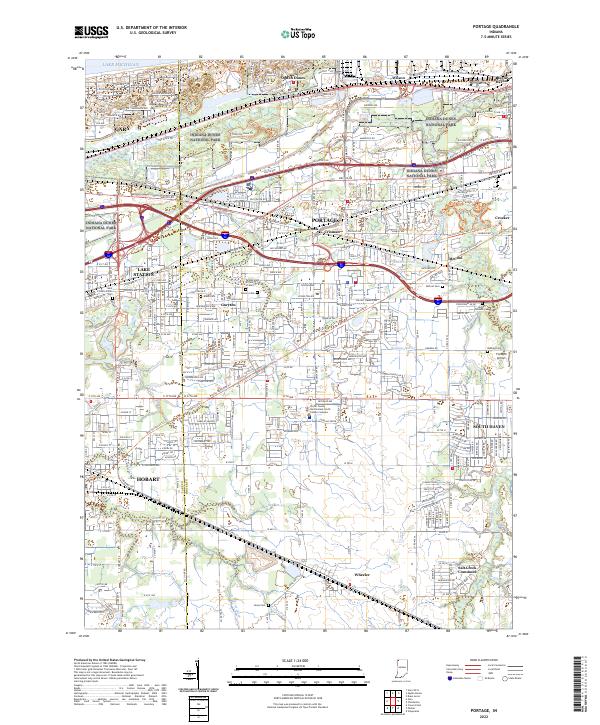 2022 Portage2022 Print · USGSThe industrial corridor of Northwest Indiana is captured here as it meets the preserved lakefront. Researchers can trace the development of Portage and Lake Station, locating historic sites like McCool Cem and the Flying M Airport.
End of results
Showing maps 1-24 of 24
Top cities near Hobart Township
- Hammond historical maps
- Gary historical maps
- Portage historical maps
- Valparaiso historical maps
- Merrillville historical maps
- Schererville historical maps
See more
Top neighborhoods of Hobart Township
Frequently asked questions
- What are the different types of historical maps available for Hobart Township?
- What is the oldest map of Hobart Township?
- Where can I purchase historical maps of Hobart Township for my home or office?
- Where can I download high-res historical maps of Hobart Township?
- Are there historical topographic maps available for Hobart Township?
- Is there historical aerial imagery available for Hobart Township?
- Where are historical maps of Hobart Township sourced from?