Old Maps of West Creek Township, Indiana for Academic Research
Study the evolution of West Creek Township with 38 high-resolution historic maps. Whether you're teaching, researching, or modeling changes in land use, these maps provide essential visual documentation of urban, environmental, and geographic change.
- Analyze long-term change: Track patterns in development, transportation, and natural features.
- Ideal for environmental or urban studies: Support academic projects with primary historical map data.
- Use in the classroom or lab: Educators and researchers rely on these maps to bring historical context to life.
These maps are a powerful tool for teaching, research, and visualizing how West Creek Township has changed over the decades.
West Creek Township, IN maps
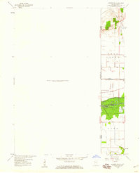
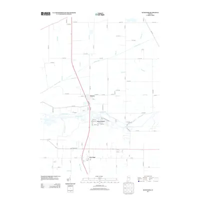
(38)- 1922 Map of Momence, 1958 Print
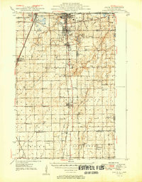
 1922 Momence1958 Print · USGSThe Kankakee River valley in the early twenties is a landscape of river islands and busy rail junctions. Genealogists and historians can locate dozens of country schools like Frogtown School and Searls School or trace the Illinois-Indiana border at Illinoi.
 - 1924 Map of Momence
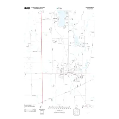
 1924 Momence1924 Print · USGSEastern Illinois and the Indiana borderlands are captured here during the 1920s, showing a landscape defined by the Kankakee River and a web of rail lines. Researchers can trace dozens of legacy district schools like Frogtown School and locate family landmarks in Momence, St Anne, and Grant Park.2 unique versions available
 - 1949 Map of Crete
 1949 Crete1949 Print · USGSWill County and the surrounding borderlands are captured here in the late 1940s as a busy intersection of rail and road. Genealogists can locate dozens of country schools and churches like Beebe Grove Sch, St Annes Ch, and Crete Cem.
 - 1953 Map of Beecher East, 1955 Print
 1953 Beecher East1955 Print · USGSThe Illinois and Indiana borderlands are captured here in the early fifties, showing a rural landscape defined by rail and farm. Genealogists can locate family landmarks like Deeke Sch, St Johns Ch, and the settlements of Klaasville and Beecher.3 unique versions available
 - 1953 Map of Lowell, 1955 Print
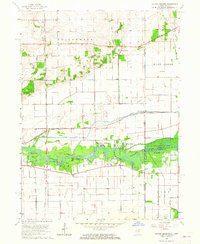
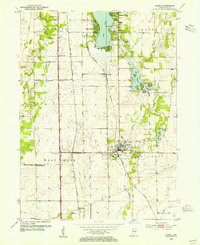 1953 Lowell1955 Print · USGSSouthern Lake County in the early 1950s is defined by its evolving rail corridors and lakeside settlements. Genealogists can trace rural family life through locations like Sheridan School, St Edwards Cemetery, and the rail stops at North Hayden or Creston.
 - 1953 Map of Chicago, 1964 Print
 1953 Chicago1964 Print · USGSThe southern Lake Michigan shoreline was rapidly modernizing in the mid-fifties, balancing heavy industry with its famous academic centers. Researchers can trace the footprints of Notre Dame University or locate vanished sites like the Kingsbury Ordnance Plant and Meigs Field.5 unique versions available
 - 1957 Map of Chicago
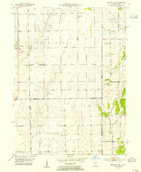
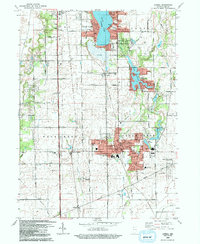
 1957 Chicago1957 Print · USGSThe industrial heartland and southern Great Lakes shoreline are captured here during the peak of mid-century growth. Researchers can trace the massive Gary Steel Works, the grounds of the University of Notre Dame, and the early paths of the Tri-State Tollway.
 - 1959 Map of Schneider, 1960 Print
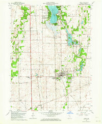
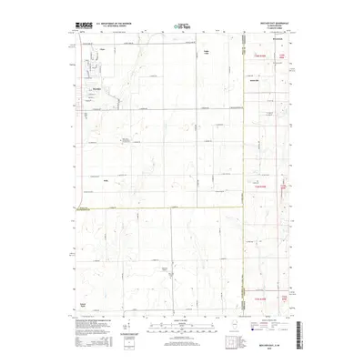
 1959 Schneider1960 Print · USGSThe Lake and Newton county line comes alive in the late fifties, showing a landscape defined by the drainage of the Kankakee marsh. Trace family roots and local industry at Sanders Cem, the New York Central rail lines, and the Sumava Resorts riverfront.4 unique versions available
 - 1959 Map of Momence NE, 1960 Print
 1959 Momence NE1960 Print · USGSThe Illinois-Indiana borderlands appear in the late fifties as a landscape defined by industrial rail and massive drainage projects. Genealogists and historians can trace the New York Central line and search for family roots at West Creek Cem near the banks of West Creek.
 - 1962 Map of Lowell, 1964 Print
 1962 Lowell1964 Print · USGSLake County at the start of the sixties reveals a landscape shaped by agricultural townships and growing lakeside communities. Genealogists and historians can trace family roots at St Edwards School, German Cemetery, and across the transit corridor of the Monon Railroad.2 unique versions available
 - 1963 Map of Illiana Heights, 1965 Print
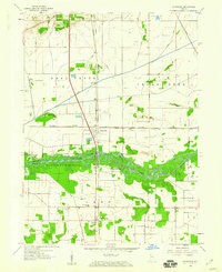
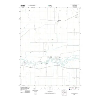
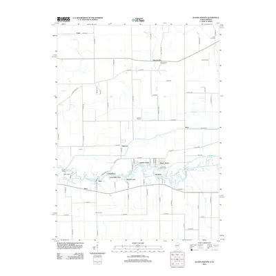
 1963 Illiana Heights1965 Print · USGSThe Illinois-Indiana state line comes alive in the early sixties as riverfront life and rail junctions define the Kankakee valley. Genealogists and historians can trace riverside settlements like Garden of Eden, search for family roots at West Creek Cem, or follow the path of the NEW YORK CENTRAL railroad.3 unique versions available
 - 1984 Map of Kankakee, 1985 Print
 1984 Kankakee1985 Print · USGSThe Illinois-Indiana borderlands appear here in the early eighties as a landscape of river-centered towns and vast managed wetlands. Genealogists and local historians can trace the grounds of the Kankakee State Hospital, the campus of Olivet Nazarene College, and the sprawling Beaver Lake Wildlife Refuge.
 - 1990 Map of Beecher East, 1991 Print
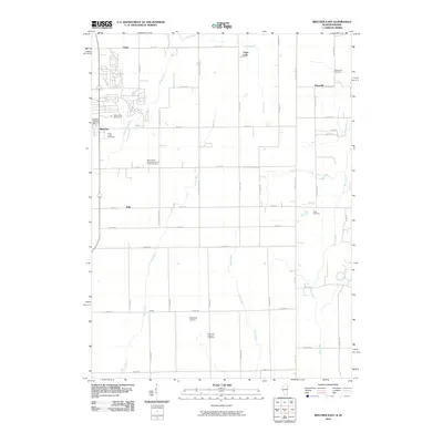
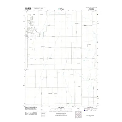
 1990 Beecher East1991 Print · USGSThe Illinois-Indiana borderlands are captured here in the late twentieth century, showing a landscape of small farming communities and country roads. Genealogists and researchers can locate St Pauls Ch, trace the Old Railroad Grade, and find quiet cemeteries like Brunswick Cem.
 - 1991 Map of Kankakee
 1991 Kankakee1991 Print · USGSThe Illinois-Indiana borderlands come into focus during the early nineties, centered on the growing Kankakee valley and its sprawling drainage systems. Trace the rail-and-river economy through landmarks like the Wilton Railroad Grade, the Manteno State Hospital, and the historic Old Pioneer Cem.
 - 1992 Map of Lowell
 1992 Lowell1992 Print · USGSSouthern Lake County is captured here in the early nineties, showing a landscape of growing lakeside communities and deep-rooted farmsteads. Genealogists can trace family landmarks and local institutions, including St Edwards Cem, the settlement of North Hayden, and the sprawling Buckley Homestead County Park.
 - 1992 Map of Schneider
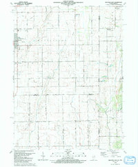
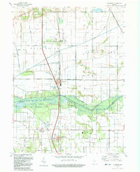 1992 Schneider1992 Print · USGSThe Kankakee River valley in northwest Indiana was a landscape of reclaimed marshlands and riverfront retreats by the early 1990s. Trace the rural layout of Schneider and Lake Village, and find family history at Sanders Cem or St Augusta Ch.
 - 2010 Map of Schneider, 2010 Print
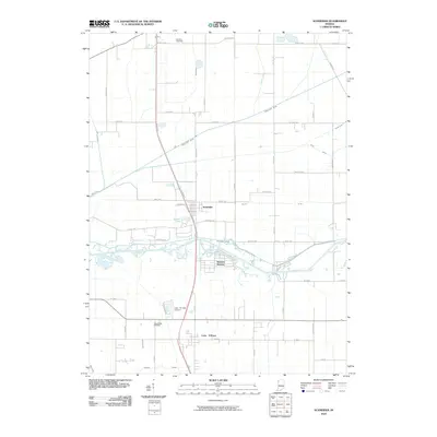 2010 Schneider2010 Print · USGSCovers West Creek Township, including Schneider, Lake Village, and other nearby areas
 - 2010 Map of Lowell, 2010 Print
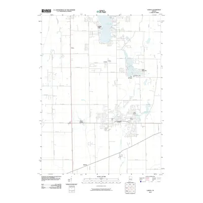 2010 Lowell2010 Print · USGSCovers West Creek Township, including Cedar Lake, Lowell, and other nearby areas
 - 2010 Map of Illiana Heights, 2010 Print
 2010 Illiana Heights2010 Print · USGSCovers West Creek Township, including Grant Park, Shadow Lawn, and other nearby areas
 - 2010 Map of Beecher East, 2010 Print
 2010 Beecher East2010 Print · USGSCovers West Creek Township, including Beecher, Grant Park, and other nearby areas
 - 2012 Map of Illiana Heights, 2012 Print
 2012 Illiana Heights2012 Print · USGSCovers West Creek Township, including Grant Park, Shadow Lawn, and other nearby areas
 - 2012 Map of Beecher East, 2012 Print
 2012 Beecher East2012 Print · USGSCovers West Creek Township, including Beecher, Grant Park, and other nearby areas
 - 2013 Map of Schneider, 2013 Print
 2013 Schneider2013 Print · USGSCovers West Creek Township, including Schneider, Lake Village, and other nearby areas
 - 2013 Map of Lowell, 2013 Print
 2013 Lowell2013 Print · USGSCovers West Creek Township, including Cedar Lake, Lowell, and other nearby areas
 - 2015 Map of Beecher East, 2015 Print
 2015 Beecher East2015 Print · USGSCovers West Creek Township, including Beecher, Grant Park, and other nearby areas
Showing maps 1-25 of 38
Top cities near West Creek Township
- Merrillville historical maps
- Schererville historical maps
- Hobart historical maps
- Chicago Heights historical maps
- Crown Point historical maps
- Park Forest historical maps
See more
Top neighborhoods of West Creek Township
- Illinoi historical maps
- Lowell historical maps
- North Hayden historical maps
- Creston historical maps
- Schneider historical maps
Frequently asked questions
- What are the different types of historical maps available for West Creek Township?
- What is the oldest map of West Creek Township?
- Where can I purchase historical maps of West Creek Township for my home or office?
- Where can I download high-res historical maps of West Creek Township?
- Are there historical topographic maps available for West Creek Township?
- Is there historical aerial imagery available for West Creek Township?
- Where are historical maps of West Creek Township sourced from?