1900s (20th Century) Maps of Winfield Township, Indiana
Explore 16 historic maps of Winfield Township from the 1900s (20th Century). These maps offer a rare glimpse into what life looked like during the 1900s — showing old roads, neighborhoods, homes, and landmarks that have changed or disappeared over time.
Whether you're researching your family's past, planning a metal detecting trip, or studying how Winfield Township's landscape evolved across the 1900s, these high-resolution maps are a powerful tool for exploring the history of this region.
- Focus on a specific era: All maps on this page are from the 1900s, giving you a focused view of this time period.
- See what’s changed: Compare century-old streets, trails, and buildings to today's modern landscape using overlays and satellite layers.
- Research with precision: Use these maps for genealogy, historical research, land use analysis, or educational projects.
- View, download, or print: Maps are fully viewable online in high resolution, and can be downloaded or printed for your own records.
Start exploring Winfield Township's history through authentic maps from the 1900s. This is your window into the past.
Winfield Township, IN maps
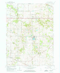
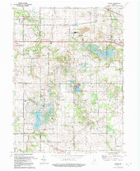
(16)- 1953 Map of Leroy, 1955 Print
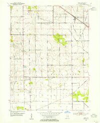 1953 Leroy1955 Print · USGSCovers Winfield Township, including Crown Point, Leroy, and other nearby areas
 - 1953 Map of Palmer, 1955 Print
 1953 Palmer1955 Print · USGSCovers Winfield Township, including Merrillville, Hobart, and other nearby areas
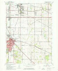
 - 1953 Map of Crown Point, 1955 Print
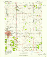 1953 Crown Point1955 Print · USGSCovers Winfield Township, including Merrillville, Hobart, and other nearby areas
 - 1953 Map of Hebron, 1955 Print
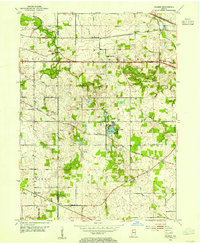
 1953 Hebron1955 Print · USGSCovers Winfield Township, including Hebron, Boone Grove, and other nearby areas
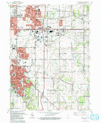
 - 1953 Map of Chicago, 1964 Print
 1953 Chicago1964 Print · USGSCovers Winfield Township, including Chicago, Joliet, and other nearby areas5 unique versions available
 - 1957 Map of Chicago
 1957 Chicago1957 Print · USGSCovers Winfield Township, including Chicago, Joliet, and other nearby areas
 - 1962 Map of Palmer, 1964 Print
 1962 Palmer1964 Print · USGSCovers Winfield Township, including Merrillville, Hobart, and other nearby areas3 unique versions available
 - 1962 Map of Crown Point, 1964 Print
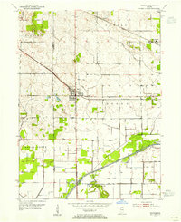
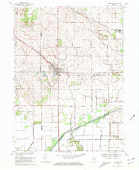
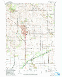
 1962 Crown Point1964 Print · USGSCovers Winfield Township, including Merrillville, Hobart, and other nearby areas4 unique versions available
 - 1969 Map of Hebron, 1971 Print
 1969 Hebron1971 Print · USGSCovers Winfield Township, including Hebron, Boone Grove, and other nearby areas2 unique versions available
 - 1969 Map of Leroy, 1971 Print
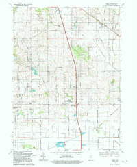
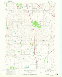 1969 Leroy1971 Print · USGSCovers Winfield Township, including Crown Point, Leroy, and other nearby areas2 unique versions available
 - 1984 Map of Kankakee, 1985 Print
 1984 Kankakee1985 Print · USGSCovers Winfield Township, including Kankakee, Valparaiso, and other nearby areas
 - 1991 Map of Kankakee
 1991 Kankakee1991 Print · USGSCovers Winfield Township, including Kankakee, Valparaiso, and other nearby areas
 - 1992 Map of Palmer
 1992 Palmer1992 Print · USGSCovers Winfield Township, including Merrillville, Hobart, and other nearby areas
 - 1992 Map of Crown Point
 1992 Crown Point1992 Print · USGSCovers Winfield Township, including Merrillville, Hobart, and other nearby areas
 - 1992 Map of Hebron
 1992 Hebron1992 Print · USGSCovers Winfield Township, including Hebron, Boone Grove, and other nearby areas
 - 1992 Map of Leroy
 1992 Leroy1992 Print · USGSCovers Winfield Township, including Crown Point, Leroy, and other nearby areas
End of results
Showing maps 1-16 of 16
Top cities near Winfield Township
- Hammond historical maps
- Gary historical maps
- Portage historical maps
- Valparaiso historical maps
- Merrillville historical maps
- Schererville historical maps
See more
Top neighborhoods of Winfield Township
- Leroy historical maps
- Lakes of the Four Seasons historical maps
- Palmer historical maps
- Winfield historical maps
- Stony Run Estates historical maps
- The Pointe historical maps
Frequently asked questions
- What are the different types of historical maps available for Winfield Township?
- What is the oldest map of Winfield Township?
- Where can I purchase historical maps of Winfield Township for my home or office?
- Where can I download high-res historical maps of Winfield Township?
- Are there historical topographic maps available for Winfield Township?
- Is there historical aerial imagery available for Winfield Township?
- Where are historical maps of Winfield Township sourced from?