Old Maps of Wanatah, Indiana for Academic Research
Study the evolution of Wanatah with 16 high-resolution historic maps. Whether you're teaching, researching, or modeling changes in land use, these maps provide essential visual documentation of urban, environmental, and geographic change.
- Analyze long-term change: Track patterns in development, transportation, and natural features.
- Ideal for environmental or urban studies: Support academic projects with primary historical map data.
- Use in the classroom or lab: Educators and researchers rely on these maps to bring historical context to life.
These maps are a powerful tool for teaching, research, and visualizing how Wanatah has changed over the decades.
Wanatah, IN maps
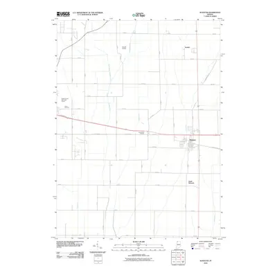
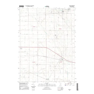
(16)- 1953 Map of Wanatah, 1955 Print
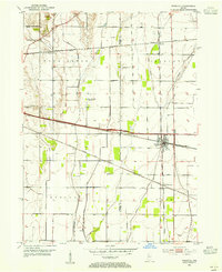 1953 Wanatah1955 Print · USGSIn the early 1950s, this area of Indiana was a bustling rail corridor where several major lines converged at Wanatah. Trace the path of the Lincoln Highway and find rural landmarks like Luther Cem and Haskells.
 - 1953 Map of Chicago, 1964 Print
 1953 Chicago1964 Print · USGSThe southern Lake Michigan shoreline was rapidly modernizing in the mid-fifties, balancing heavy industry with its famous academic centers. Researchers can trace the footprints of Notre Dame University or locate vanished sites like the Kingsbury Ordnance Plant and Meigs Field.5 unique versions available
 - 1957 Map of Chicago
 1957 Chicago1957 Print · USGSThe industrial heartland and southern Great Lakes shoreline are captured here during the peak of mid-century growth. Researchers can trace the massive Gary Steel Works, the grounds of the University of Notre Dame, and the early paths of the Tri-State Tollway.
 - 1958 Map of Hanna, 1960 Print
 1958 Hanna1960 Print · USGSLaPorte County's agricultural heartland was a complex nexus of rail and road at the end of the fifties. Genealogists and historians can trace family-named markers and rural community centers like Morgan Cem, Township Sch, and the Zion Ch.2 unique versions available
 - 1972 Map of Wanatah, 1974 Print
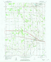
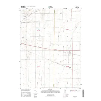
 1972 Wanatah1974 Print · USGSLaPorte County was a busy railroad crossroads in the early 1970s, defined by the meeting of three major rail lines. Genealogists and rail historians can trace the tracks of the Penn Central and Norfolk and Western near Wanatah and Sacred Heart Ch.
 - 1984 Map of Knox, 1985 Print
 1984 Knox1985 Print · USGSNorthern Indiana's glacial lake country is captured in the mid-eighties, showing a landscape defined by the Kankakee River and major rail lines. Genealogists and historians can trace family ties through lakefront settlements like Lake Maxinkuckee and Bass Lake or the Old Indian Treaty Boundary.2 unique versions available
 - 2010 Map of Hanna, 2010 Print
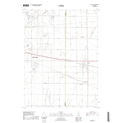
 2010 Hanna2010 Print · USGSCovers Wanatah, including Hanna, Thomaston, and other nearby areas
 - 2010 Map of Wanatah, 2010 Print
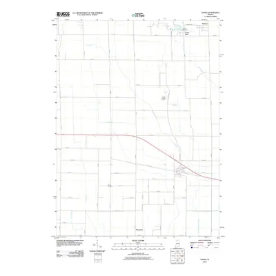
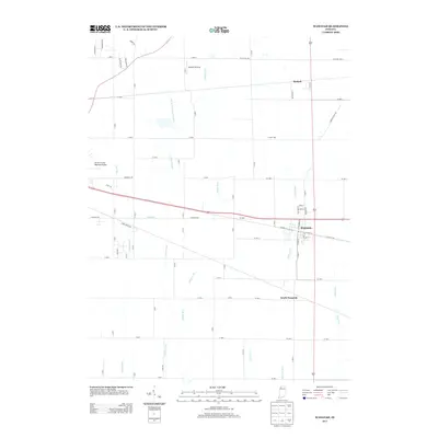
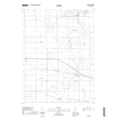
 2010 Wanatah2010 Print · USGSCovers Wanatah, including Valparaiso, South Wanatah, and other nearby areas
 - 2013 Map of Wanatah, 2013 Print
 2013 Wanatah2013 Print · USGSCovers Wanatah, including Valparaiso, South Wanatah, and other nearby areas
 - 2013 Map of Hanna, 2013 Print
 2013 Hanna2013 Print · USGSCovers Wanatah, including Hanna, Thomaston, and other nearby areas
 - 2016 Map of Wanatah, 2016 Print
 2016 Wanatah2016 Print · USGSCovers Wanatah, including Valparaiso, South Wanatah, and other nearby areas
 - 2016 Map of Hanna, 2016 Print
 2016 Hanna2016 Print · USGSCovers Wanatah, including Hanna, Thomaston, and other nearby areas
 - 2019 Map of Hanna, 2019 Print
 2019 Hanna2019 Print · USGSCovers Wanatah, including Hanna, Thomaston, and other nearby areas
 - 2019 Map of Wanatah, 2019 Print
 2019 Wanatah2019 Print · USGSCovers Wanatah, including Valparaiso, South Wanatah, and other nearby areas
 - 2022 Map of Wanatah, 2022 Print
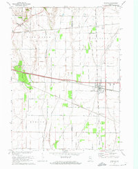
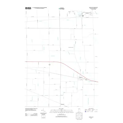
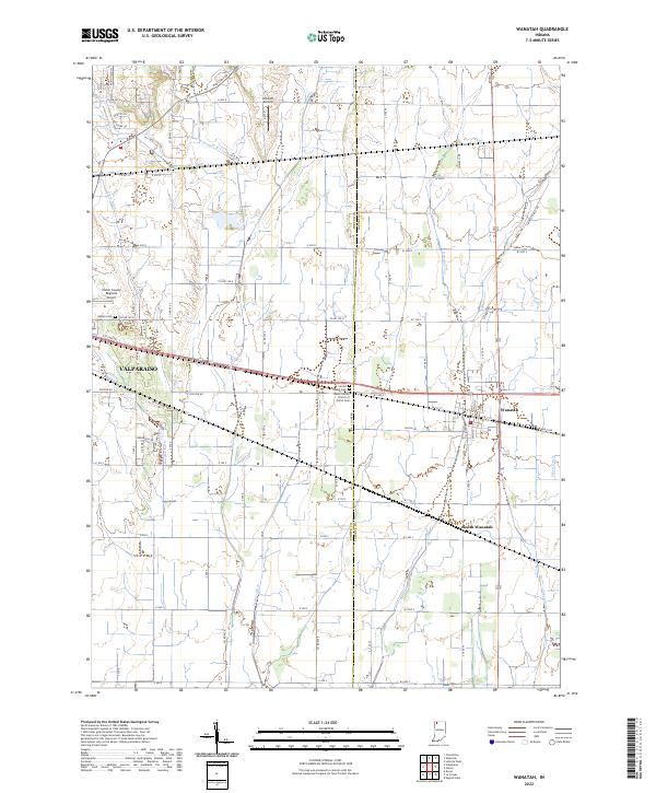 2022 Wanatah2022 Print · USGSThe rural borderlands between Porter and LaPorte counties are captured here in the early 2020s, revealing an intricate grid of agricultural drainage and aviation history. Genealogists and local historians can locate Sacred Heart Cem and South Wanatah or trace the path of Greiger Ditch.
 - 2022 Map of Hanna, 2022 Print
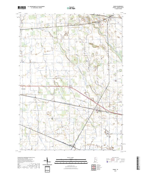 2022 Hanna2022 Print · USGSLaPorte County's agricultural heartland is captured here in recent years, showing the structured drainage and rail-side settlements of the Indiana plains. Researchers can trace family roots through Morgan Cemetery and explore the historic layouts of Hanna, Union Mills, and Thomaston.
End of results
Showing maps 1-16 of 16
Top cities near Wanatah
- Valparaiso historical maps
- La Porte historical maps
- Chesterton historical maps
- Porter historical maps
- Westville historical maps
- Kouts historical maps
See more
Frequently asked questions
- What are the different types of historical maps available for Wanatah?
- What is the oldest map of Wanatah?
- Where can I purchase historical maps of Wanatah for my home or office?
- Where can I download high-res historical maps of Wanatah?
- Are there historical topographic maps available for Wanatah?
- Is there historical aerial imagery available for Wanatah?
- Where are historical maps of Wanatah sourced from?