Old Maps of Mitchell, Indiana for Genealogy
Trace your family roots with 22 historic maps of Mitchell. These high-res maps reveal old neighborhoods, homesites, landmarks, and streets — helping you uncover where your ancestors lived and how the area evolved over time.
- Explore historic neighborhoods: Identify where your relatives may have lived in the 1800s or 1900s.
- Compare maps over time: Trace the changes in streets, buildings, and landmarks for multi-generational research.
- Perfect for genealogy & ancestry research: Used by family historians and researchers to map out lineage and migration.
These maps are an incredible resource for exploring your personal connection to Mitchell's past.
Mitchell, IN maps
(22)- 1934 Map of Bedford
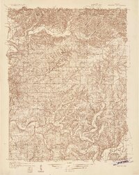 1934 Bedford1934 Print · USGSLawrence County's limestone district and the winding White River valley are detailed here during the mid-1930s. Genealogists and researchers can trace local families through many rural landmarks, including Sherril Cem, Leesville, and the Peerless Quarry.2 unique versions available
 - 1937 Map of Bedford
 1937 Bedford1937 Print · USGSLawrence County limestone country is seen here in the late 1930s, defined by its massive quarries and river-valley railroads. Genealogists can trace family landmarks and rural life at the County Farm, Leesville, and the United Brethren Ch.2 unique versions available
 - 1950 Map of Mitchell
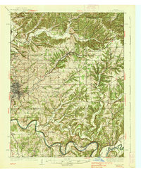
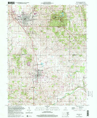
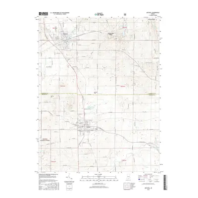
 1950 Mitchell1950 Print · USGSMitchell and Orleans sit at a critical railroad junction in southern Indiana during the mid-twentieth century. Researchers can trace the karst landscape of Spring Mill State Park or locate family roots near Liberty Ch and Lawrenceport Cem.2 unique versions available
 - 1956 Map of Vincennes, 1967 Print
 1956 Vincennes1967 Print · USGSSouthern Indiana and the Illinois borderlands are captured here in the mid-fifties, showing the region's dense network of river towns and rail lines. Researchers can trace historic river crossings along the Wabash River or locate landmarks like Wyandotte Cave and Lincoln State Park.4 unique versions available
 - 1957 Map of Vincennes
 1957 Vincennes1957 Print · USGSSouthwest Indiana and the Illinois borderlands come alive in the late 1950s, a period of heavy rail traffic and expanding state forests. Genealogists and historians can trace the riverfronts and rail lines of Vincennes, New Harmony, and the vast Crane Naval Ammunition Depot.
 - 1958 Map of Vincennes
 1958 Vincennes1958 Print · USGSSouthern Indiana and the Illinois borderlands are captured during a mid-century period of heavy rail traffic and military activity. Researchers can trace the sprawling bounds of the Crane Naval Ammunition Depot or locate historic settlements like New Harmony and French Lick.2 unique versions available
 - 1958 Map of Bedford East, 1960 Print
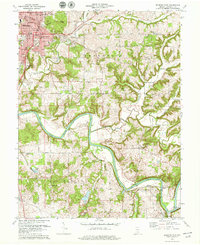
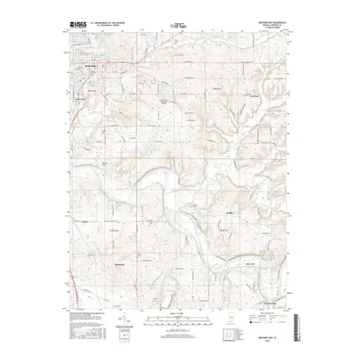
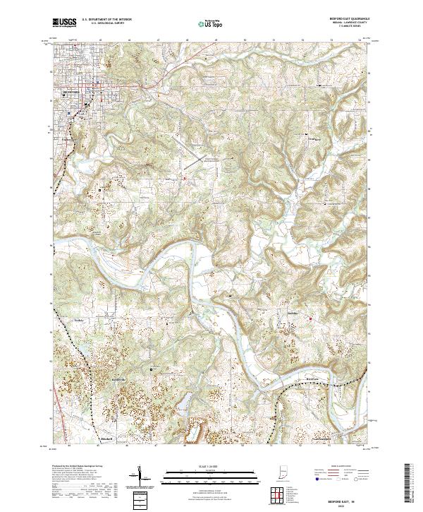
 1958 Bedford East1960 Print · USGSLawrence County at the end of the 1950s shows the bustling hub of Bedford surrounded by the winding waters of the White River. Genealogists and local historians can trace rural family roots through numerous landmarks like Beech Grove Cem, Rabbitville, and Leatherwood Ch.2 unique versions available
 - 1960 Map of Mitchell, 1961 Print
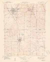
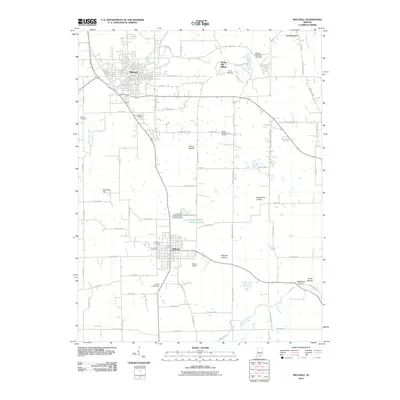
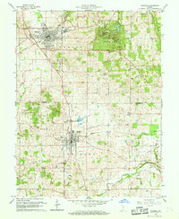 1960 Mitchell1961 Print · USGSSouthern Indiana at the dawn of the sixties shows a landscape shaped by karst geology and early transit lines. Genealogists can trace family roots through Freedom Cem and Union Chapel, or explore the historic Spring Mill Village.5 unique versions available
 - 1978 Map of Bedford East, 1979 Print
 1978 Bedford East1979 Print · USGSLawrence County enters the late seventies with the city of Bedford surrounded by active rail lines and river bends. Genealogists and local historians can trace family plots at Beach Grove Cemetery and explore old rail routes like the Baltimore and Ohio Railroad.2 unique versions available
 - 1986 Map of Bedford
 1986 Bedford1986 Print · USGSSouthern Indiana in the mid-eighties remains a landscape of deep forests, limestone quarries, and vital rail junctions. Genealogists and historians can trace the rural networks connecting French Lick, the Crane Naval Weapons Support Center, and the historic Becks Mill.
 - 1990 Map of Bedford, 1991 Print
 1990 Bedford1991 Print · USGSSouthern Indiana in the early nineties reveals a complex landscape of military reservations, resort towns, and heavy industry. Genealogists and historians can trace family sites like Old Union Cem and Trinity Springs or locate the limestone quarries surrounding Oolitic.
 - 2000 Map of Mitchell, 2001 Print
 2000 Mitchell2001 Print · USGSSouthern Indiana at the millennium reveals a landscape shaped by historical boundaries and limestone drainage. Researchers can trace the Indian Treaty Boundary and locate local landmarks like Spring Mill Village and Fairview Cem.
 - 2010 Map of Bedford East, 2010 Print
 2010 Bedford East2010 Print · USGSCovers Mitchell, including Bedford, Crawford, and other nearby areas
 - 2010 Map of Mitchell, 2010 Print
 2010 Mitchell2010 Print · USGSCovers Mitchell, including Orleans, Spring Mill Village, and other nearby areas
 - 2013 Map of Mitchell, 2013 Print
 2013 Mitchell2013 Print · USGSCovers Mitchell, including Orleans, Spring Mill Village, and other nearby areas
 - 2013 Map of Bedford East, 2013 Print
 2013 Bedford East2013 Print · USGSCovers Mitchell, including Bedford, Crawford, and other nearby areas
 - 2016 Map of Mitchell, 2016 Print
 2016 Mitchell2016 Print · USGSCovers Mitchell, including Orleans, Spring Mill Village, and other nearby areas
 - 2016 Map of Bedford East, 2016 Print
 2016 Bedford East2016 Print · USGSCovers Mitchell, including Bedford, Crawford, and other nearby areas
 - 2019 Map of Bedford East, 2019 Print
 2019 Bedford East2019 Print · USGSCovers Mitchell, including Bedford, Crawford, and other nearby areas
 - 2019 Map of Mitchell, 2019 Print
 2019 Mitchell2019 Print · USGSCovers Mitchell, including Orleans, Spring Mill Village, and other nearby areas
 - 2022 Map of Bedford East, 2022 Print
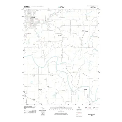
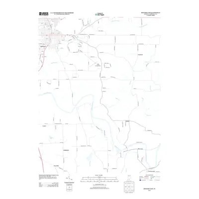
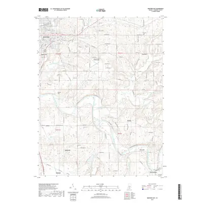
 2022 Bedford East2022 Print · USGSLawrence County, Indiana, is captured here in a period of modern stability, showing the detailed civic layout of Bedford and the winding course of the East Fork White River. Researchers can trace old family burial sites like Beech Grove Cem or locate rural settlements such as Buddha and Rabbitville.
 - 2022 Map of Mitchell, 2022 Print
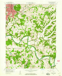
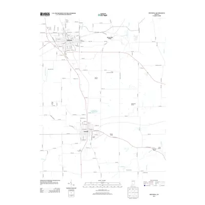
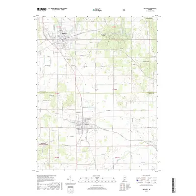
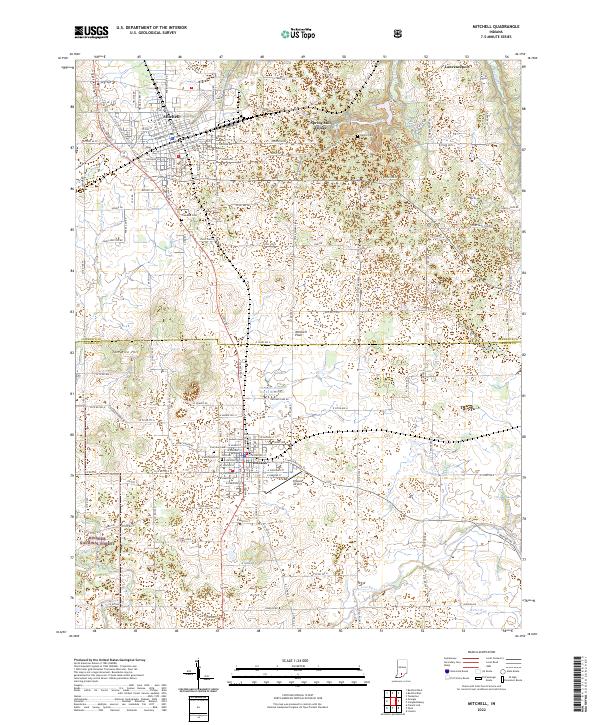 2022 Mitchell2022 Print · USGSSouthern Indiana's karst landscape comes alive in this contemporary view of the limestone plateau between Mitchell and Orleans. Genealogists and historians can trace local family roots at Freedom Cemetery or explore the historic layout of Spring Mill Village.
End of results
Showing maps 1-22 of 22
Top cities near Mitchell
- Bedford historical maps
- Paoli historical maps
- Orleans historical maps
- French Lick historical maps
- Oolitic historical maps
- Stampers Creek historical maps
See more
Frequently asked questions
- What are the different types of historical maps available for Mitchell?
- What is the oldest map of Mitchell?
- Where can I purchase historical maps of Mitchell for my home or office?
- Where can I download high-res historical maps of Mitchell?
- Are there historical topographic maps available for Mitchell?
- Is there historical aerial imagery available for Mitchell?
- Where are historical maps of Mitchell sourced from?