Old Maps of Alexandria, Indiana for Hiking & Exploration
Hike through history with 15 historic maps of Alexandria. Explore old trails, ghost towns, and forgotten backroads — perfect for outdoor adventurers and local explorers.
- Rediscover forgotten places: Map out old mining camps, roads, and footpaths that no longer exist on modern maps.
- Layer with modern tools: Combine with LiDAR or satellite views to plan hikes through historical terrain.
- Made for exploration: Popular among hikers, overlanders, and local history lovers.
Use these maps to find adventure and explore the hidden past of Alexandria.
Alexandria, IN maps
(15)- 1953 Map of Muncie, 1966 Print
 1953 Muncie1966 Print · USGSIndiana and Ohio borderlands thrive in the early fifties, showing a landscape defined by manufacturing cities and an intensive railroad network. Genealogists can trace family roots across the Indiana-Ohio line through Muncie, Celina, and Portland via the Pennsylvania railroad.5 unique versions available
 - 1956 Map of Muncie
 1956 Muncie1956 Print · USGSEastern Indiana and western Ohio are shown at a peak of rail-driven industry in the mid-fifties. Genealogists and rail historians can trace the paths of the Pennsylvania RR through Muncie or locate landmarks like Lake Saint Marys (Grand Lake Reservoir) and Frances Slocum State Forest.
 - 1960 Map of Alexandria, 1961 Print
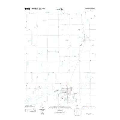
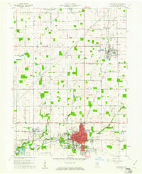 1960 Alexandria1961 Print · USGSMadison County, Indiana, is captured here at the dawn of the sixties, showcasing the thriving railroad and farming hub of Alexandria. Researchers can trace the legacy of family farms and rural life through landmarks like Forrestville Cem, Cunningham Sch, and the town of Orestes.3 unique versions available
 - 1960 Map of Anderson North, 1961 Print
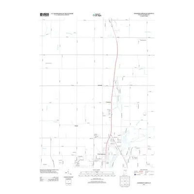
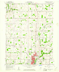 1960 Anderson North1961 Print · USGSMadison County in the early sixties shows the suburban growth of Anderson and Alexandria amidst a landscape of rural schools and family chapels. Genealogists can trace property near Wesley Chapel, Donahue Cem, and the village of Prosperity.5 unique versions available
 - 1986 Map of Muncie
 1986 Muncie1986 Print · USGSEast Central Indiana was a hub of manufacturing and higher education in the mid-eighties. Genealogists and historians can trace the streets of Muncie, locate rural Cem sites, and explore landmarks like Mounds State Park and Taylor Univ.3 unique versions available
 - 2010 Map of Alexandria, 2010 Print
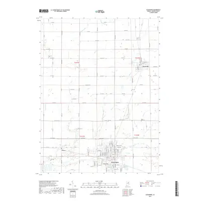
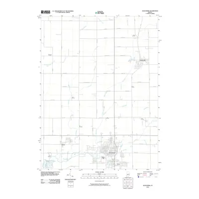 2010 Alexandria2010 Print · USGSCovers Alexandria, including Summitville, Orestes, and other nearby areas
 - 2010 Map of Anderson North, 2010 Print
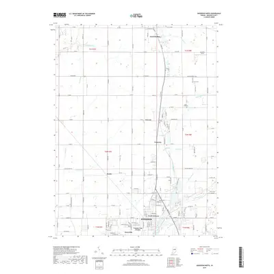
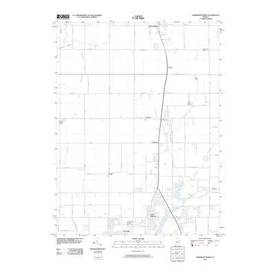 2010 Anderson North2010 Print · USGSCovers Alexandria, including Anderson, Country Club Heights, and other nearby areas
 - 2013 Map of Alexandria, 2013 Print
 2013 Alexandria2013 Print · USGSCovers Alexandria, including Summitville, Orestes, and other nearby areas
 - 2013 Map of Anderson North, 2013 Print
 2013 Anderson North2013 Print · USGSCovers Alexandria, including Anderson, Country Club Heights, and other nearby areas
 - 2016 Map of Alexandria, 2016 Print
 2016 Alexandria2016 Print · USGSCovers Alexandria, including Summitville, Orestes, and other nearby areas
 - 2016 Map of Anderson North, 2016 Print
 2016 Anderson North2016 Print · USGSCovers Alexandria, including Anderson, Country Club Heights, and other nearby areas
 - 2019 Map of Alexandria, 2019 Print
 2019 Alexandria2019 Print · USGSCovers Alexandria, including Summitville, Orestes, and other nearby areas
 - 2019 Map of Anderson North, 2019 Print
 2019 Anderson North2019 Print · USGSCovers Alexandria, including Anderson, Country Club Heights, and other nearby areas
 - 2022 Map of Anderson North, 2022 Print
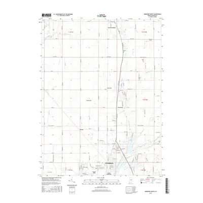
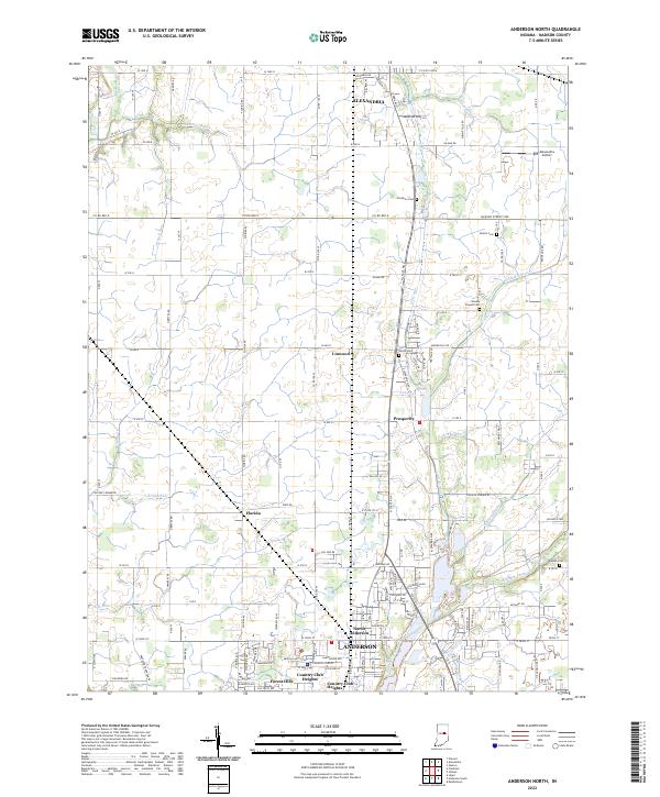 2022 Anderson North2022 Print · USGSMadison County in the early twenty-first century reveals a landscape of enduring rural crossroads and evolving suburban edges. Genealogists can trace family lines through local burial sites like Holson Cem and Smith Cem or explore the hamlets of Linwood and Florida.
 - 2022 Map of Alexandria, 2022 Print
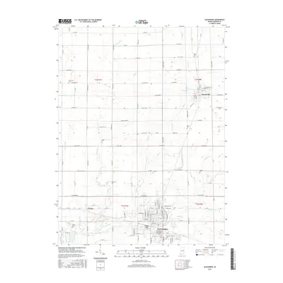
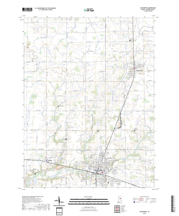 2022 Alexandria2022 Print · USGSMadison County, Indiana, is captured here in the early 2020s, showing a landscape where small-town grids meet a dense network of agricultural waterways. Researchers can trace local heritage through sites like Parkview Cem, Gimco City, and Summitville.
End of results
Showing maps 1-15 of 15
Top cities near Alexandria
- Noblesville historical maps
- Muncie historical maps
- Anderson historical maps
- Marion historical maps
- Elwood historical maps
- Gas City historical maps
See more
Top neighborhoods of Alexandria
Frequently asked questions
- What are the different types of historical maps available for Alexandria?
- What is the oldest map of Alexandria?
- Where can I purchase historical maps of Alexandria for my home or office?
- Where can I download high-res historical maps of Alexandria?
- Are there historical topographic maps available for Alexandria?
- Is there historical aerial imagery available for Alexandria?
- Where are historical maps of Alexandria sourced from?