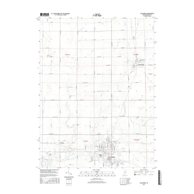
2016 Map of Alexandria
USGS Topo · Published 2016About this map
Alexandria serves as the primary hub of this north-central Indiana landscape, where a dense grid of city streets transitions into the expansive agricultural townships of Madison County. The map documents the local importance of education and healthcare through the presence of the Alexandria Sch of scientific Therapeutics near the city center. To the north, Summitville is clearly defined, while the small enclave of Gimco City and the town of Orestes to the west show the distribution of residential life along the southern corridor.
Find a feature on this map
85 named features on this map. Tap any name to fly to it.
Don’t see what you’re looking for? This feature index may not catch every label — zoom into the map to look around manually.
Map Details
Editions of this 2016 Alexandria Map
This is the sole edition of this map. No revisions or reprints were ever made.
Other maps of this area

1953 · Muncie
USGS Topo · 1:250,000

1956 · Muncie
USGS Topo · 1:250,000

1960 · Gilman
USGS Topo · 1:24,000

1960 · Elwood
USGS Topo · 1:24,000

1960 · Point Isabel
USGS Topo · 1:24,000

1960 · Alexandria
USGS Topo · 1:24,000

1960 · Fairmount
USGS Topo · 1:24,000

1960 · Gas City
USGS Topo · 1:24,000

1960 · Gaston
USGS Topo · 1:24,000

1960 · Anderson North
USGS Topo · 1:24,000