
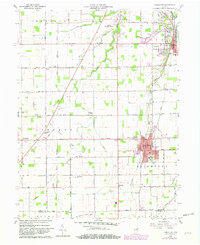
1960 Map of Fairmount
USGS Topo · Published 1961About this map
The town of Fairmount and the southern edge of Jonesboro anchor this 1960 landscape, where the grid of Grant County meets the Madison County line. A significant historical landmark, the Old Treaty Indian Boundary, cuts diagonally across the township, marking an early nineteenth-century demarcation that still influences the alignment of local property lines and roads like Tappin Ditch. The area's agrarian roots are visible in the numerous country churches and schools that dot the section corners, including Hill Chapel, Bethel Ch, and Little Ridge Ch.
Find a feature on this map
55 named features on this map. Tap any name to fly to it.
Don’t see what you’re looking for? This feature index may not catch every label — zoom into the map to look around manually.
Map Details
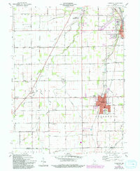
Editions of this 1960 Fairmount Map
Other maps of this area

1953 · Muncie
USGS Topo · 1:250,000

1956 · Muncie
USGS Topo · 1:250,000

1960 · Elwood
USGS Topo · 1:24,000

1960 · Point Isabel
USGS Topo · 1:24,000

1960 · Alexandria
USGS Topo · 1:24,000

1960 · Gas City
USGS Topo · 1:24,000

1960 · Gaston
USGS Topo · 1:24,000

1961 · Marion
USGS Topo · 1:24,000
1962 · Sweetser
USGS Topo · 1:24,000
1962 · Van Buren
USGS Topo · 1:24,000