
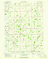
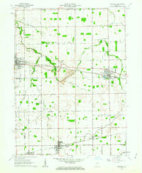
1960 Map of Point Isabel
USGS Topo · Published 1961About this map
Point Isabel sits at the heart of this 1960 survey, serving as a central hub in a landscape defined by an orderly grid of country roads and agricultural drainages. Located at the intersection of Greene and Liberty townships, the area shows a persistent pattern of rural community life centered around local institutions like the Township Sch and several country churches. The geography is intricately woven with watercourses such as Pipe Creek and Grassy Fork, alongside man-made improvements like Roberts Ditch and Wimmer Ditch, which underscore the importance of land drainage to the local economy.
Find a feature on this map
71 named features on this map. Tap any name to fly to it.
Don’t see what you’re looking for? This feature index may not catch every label — zoom into the map to look around manually.
Map Details
Editions of this 1960 Point Isabel Map
4 editions found
Other maps of this area

1953 · Muncie
USGS Topo · 1:250,000

1956 · Muncie
USGS Topo · 1:250,000

1960 · Elwood
USGS Topo · 1:24,000

1960 · Alexandria
USGS Topo · 1:24,000

1960 · Fairmount
USGS Topo · 1:24,000

1960 · Windfall
USGS Topo · 1:24,000

1960 · Greentown
USGS Topo · 1:24,000

1961 · Marion
USGS Topo · 1:24,000
1962 · Amboy
USGS Topo · 1:24,000
1962 · Sweetser
USGS Topo · 1:24,000