
1960 Map of Greentown
USGS Topo · Published 1961About this map
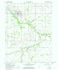
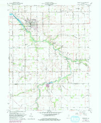
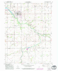
Greentown serves as the primary hub of this eastern Howard County landscape, situated where the St Louis and Chicago New York Railroad intersects with local transit routes. The township of Liberty is defined by the winding course of Wildcat Creek, which creates a band of wooded relief across an otherwise orderly grid of agricultural fields and drainage ditches. Small rural communities like Jerome, West Liberty, and Phlox are scattered throughout the region, often centered around local landmarks such as Eastern Sch or the Jerome Cem.
Find a feature on this map
77 named features on this map. Tap any name to fly to it.
Don’t see what you’re looking for? This feature index may not catch every label — zoom into the map to look around manually.
Map Details
Editions of this 1960 Greentown Map
4 editions found
Other maps of this area

1953 · Danville
USGS Topo · 1:250,000

1953 · Muncie
USGS Topo · 1:250,000

1955 · Danville
USGS Topo · 1:250,000

1956 · Muncie
USGS Topo · 1:250,000

1956 · Danville
USGS Topo · 1:250,000

1959 · Miami
USGS Topo · 1:24,000

1960 · Elwood
USGS Topo · 1:24,000

1960 · Point Isabel
USGS Topo · 1:24,000

1960 · Kokomo East
USGS Topo · 1:24,000

1960 · Tipton
USGS Topo · 1:24,000