
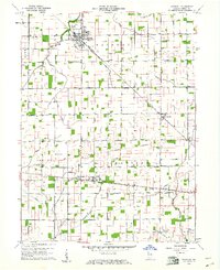
1960 Map of Windfall
USGS Topo · Published 1961About this map
Windfall (Windfall City) serves as the primary hub of this Tipton County landscape, situated at the junction of the Pennsylvania Railroad and a network of rural routes. The map illustrates a highly organized agricultural grid, where small settlements like Curtisville and Hobbs emerged along the rail lines. Local genealogy is well-represented through numerous burial sites, including Brookside Cemetery near the northern border and Sandbank Cem to the south.
Find a feature on this map
22 named features on this map. Tap any name to fly to it.
Don’t see what you’re looking for? This feature index may not catch every label — zoom into the map to look around manually.
Map Details
Editions of this 1960 Windfall Map
2 editions found
Other maps of this area

1953 · Danville
USGS Topo · 1:250,000

1953 · Muncie
USGS Topo · 1:250,000

1955 · Danville
USGS Topo · 1:250,000

1956 · Muncie
USGS Topo · 1:250,000

1956 · Danville
USGS Topo · 1:250,000

1960 · Elwood
USGS Topo · 1:24,000

1960 · Point Isabel
USGS Topo · 1:24,000

1960 · Kokomo East
USGS Topo · 1:24,000

1960 · Tipton
USGS Topo · 1:24,000

1960 · Greentown
USGS Topo · 1:24,000