Old Maps of Argos, Indiana for Metal Detecting
Plan your next treasure hunt with 15 historic maps of Argos. Find old homesites, ghost towns, trails, and gathering spots that may be lost to time — perfect for identifying promising metal detecting locations.
- Locate forgotten sites: Uncover places like long-lost settlements, abandoned rail lines, or gathering spots.
- Plan better hunts: Use map overlays combined with LiDAR or satellite views to narrow in on historically rich areas.
- Made for detectorists: Thousands of hobbyists use these maps to discover relics, coins, and hidden history.
Use these historic maps to boost your research and find new opportunities beneath the surface of Argos.
Argos, IN maps
(15)- 1953 Map of Chicago, 1964 Print
 1953 Chicago1964 Print · USGSThe southern Lake Michigan shoreline was rapidly modernizing in the mid-fifties, balancing heavy industry with its famous academic centers. Researchers can trace the footprints of Notre Dame University or locate vanished sites like the Kingsbury Ordnance Plant and Meigs Field.5 unique versions available
 - 1957 Map of Chicago
 1957 Chicago1957 Print · USGSThe industrial heartland and southern Great Lakes shoreline are captured here during the peak of mid-century growth. Researchers can trace the massive Gary Steel Works, the grounds of the University of Notre Dame, and the early paths of the Tri-State Tollway.
 - 1962 Map of Argos, 1964 Print
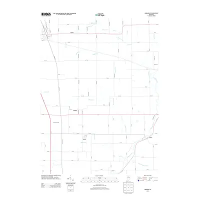
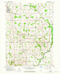 1962 Argos1964 Print · USGSNorthern Indiana's rural landscape is captured here in the early sixties, showing the transition between the agricultural plains and the winding Tippecanoe River. Genealogists can trace local roots through landmarks like the Walnut Ch, McGrew Cem, and the historic Old Indian Treaty Boundary.3 unique versions available
 - 1962 Map of Rutland, 1964 Print
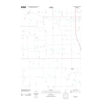
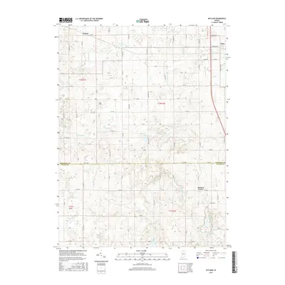
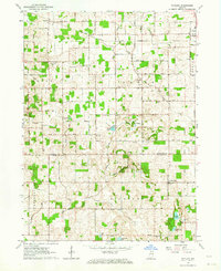 1962 Rutland1964 Print · USGSMarshall and Fulton County farmlands are captured here in the early sixties, split by the historic Old Indian Treaty Bdy. Genealogists can locate family-named landmarks and rural hubs like Poplar Grove Ch, Richland Center, and Rutland.2 unique versions available
 - 1984 Map of Knox, 1985 Print
 1984 Knox1985 Print · USGSNorthern Indiana's glacial lake country is captured in the mid-eighties, showing a landscape defined by the Kankakee River and major rail lines. Genealogists and historians can trace family ties through lakefront settlements like Lake Maxinkuckee and Bass Lake or the Old Indian Treaty Boundary.2 unique versions available
 - 2010 Map of Argos, 2010 Print
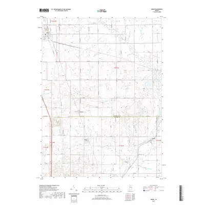
 2010 Argos2010 Print · USGSCovers Argos, including Walnut, Tiosa, and other nearby areas
 - 2010 Map of Rutland, 2010 Print
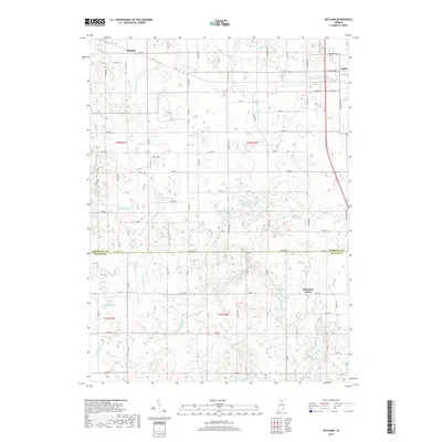
 2010 Rutland2010 Print · USGSCovers Argos, including Richland Center, Rutland, and other nearby areas
 - 2013 Map of Rutland, 2013 Print
 2013 Rutland2013 Print · USGSCovers Argos, including Richland Center, Rutland, and other nearby areas
 - 2013 Map of Argos, 2013 Print
 2013 Argos2013 Print · USGSCovers Argos, including Walnut, Tiosa, and other nearby areas
 - 2016 Map of Rutland, 2016 Print
 2016 Rutland2016 Print · USGSCovers Argos, including Richland Center, Rutland, and other nearby areas
 - 2016 Map of Argos, 2016 Print
 2016 Argos2016 Print · USGSCovers Argos, including Walnut, Tiosa, and other nearby areas
 - 2019 Map of Rutland, 2019 Print
 2019 Rutland2019 Print · USGSCovers Argos, including Richland Center, Rutland, and other nearby areas
 - 2019 Map of Argos, 2019 Print
 2019 Argos2019 Print · USGSCovers Argos, including Walnut, Tiosa, and other nearby areas
 - 2022 Map of Rutland, 2022 Print
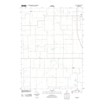
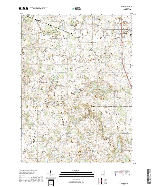 2022 Rutland2022 Print · USGSMarshall and Fulton County farmsteads and wetlands are documented here in the early 2020s. Genealogists and local historians can trace the drainage of this landscape through Eddy Cr Ditch and locate local landmarks like DDT Field and Richland Center.
 - 2022 Map of Argos, 2022 Print
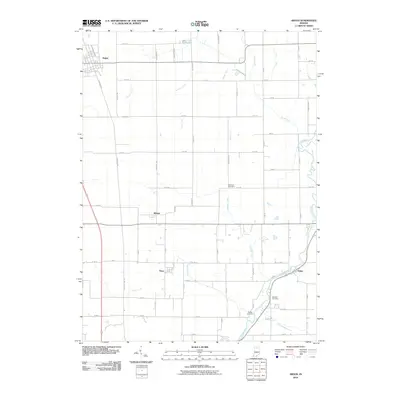
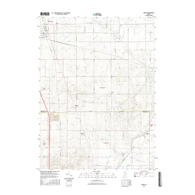
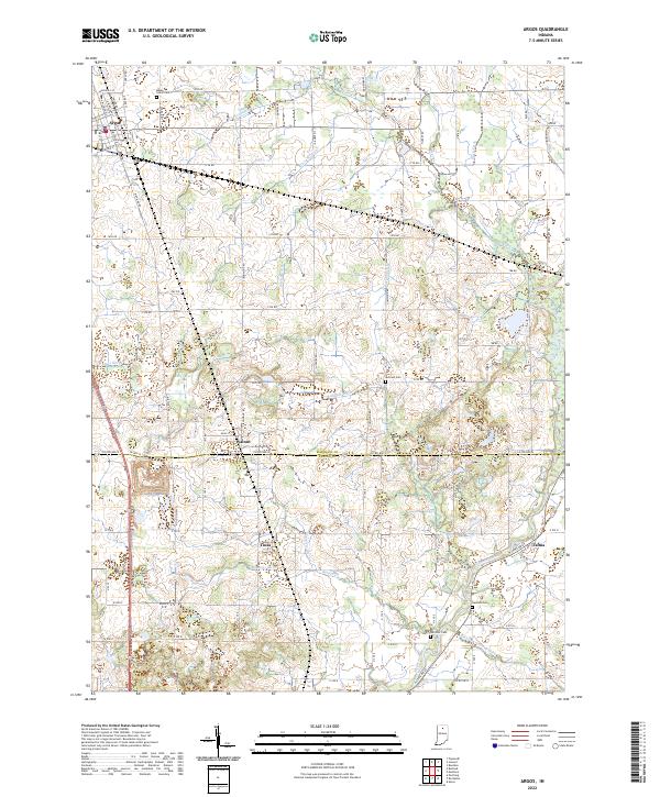 2022 Argos2022 Print · USGSSettled on the border of Marshall and Fulton counties, this contemporary landscape shows a deep history of drainage and agricultural development. Genealogists can locate family burial sites at Maple Grove Cem and Hamlett Cem, or trace the rural crossroads of Walnut and Tiosa.
End of results
Showing maps 1-15 of 15
Top cities near Argos
- Plymouth historical maps
- Nappanee historical maps
- Rochester historical maps
- Bremen historical maps
- Walnut historical maps
- Walkerton historical maps
See more
Frequently asked questions
- What are the different types of historical maps available for Argos?
- What is the oldest map of Argos?
- Where can I purchase historical maps of Argos for my home or office?
- Where can I download high-res historical maps of Argos?
- Are there historical topographic maps available for Argos?
- Is there historical aerial imagery available for Argos?
- Where are historical maps of Argos sourced from?