Old Maps of Bourbon, Indiana for Academic Research
Study the evolution of Bourbon with 15 high-resolution historic maps. Whether you're teaching, researching, or modeling changes in land use, these maps provide essential visual documentation of urban, environmental, and geographic change.
- Analyze long-term change: Track patterns in development, transportation, and natural features.
- Ideal for environmental or urban studies: Support academic projects with primary historical map data.
- Use in the classroom or lab: Educators and researchers rely on these maps to bring historical context to life.
These maps are a powerful tool for teaching, research, and visualizing how Bourbon has changed over the decades.
Bourbon, IN maps
(15)- 1953 Map of Chicago, 1964 Print
 1953 Chicago1964 Print · USGSThe southern Lake Michigan shoreline was rapidly modernizing in the mid-fifties, balancing heavy industry with its famous academic centers. Researchers can trace the footprints of Notre Dame University or locate vanished sites like the Kingsbury Ordnance Plant and Meigs Field.5 unique versions available
 - 1957 Map of Chicago
 1957 Chicago1957 Print · USGSThe industrial heartland and southern Great Lakes shoreline are captured here during the peak of mid-century growth. Researchers can trace the massive Gary Steel Works, the grounds of the University of Notre Dame, and the early paths of the Tri-State Tollway.
 - 1957 Map of Inwood, 1958 Print
 1957 Inwood1958 Print · USGSMarshall County agricultural life is captured here in the late fifties, centered on the crossroads of the Inwood settlement. Researchers can trace rural lineages at Salem Cem or Bethel Ch and follow the path of the Pennsylvania railroad.3 unique versions available
 - 1958 Map of Bourbon, 1960 Print
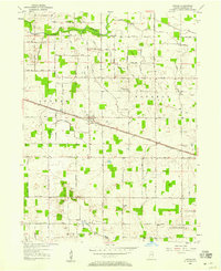
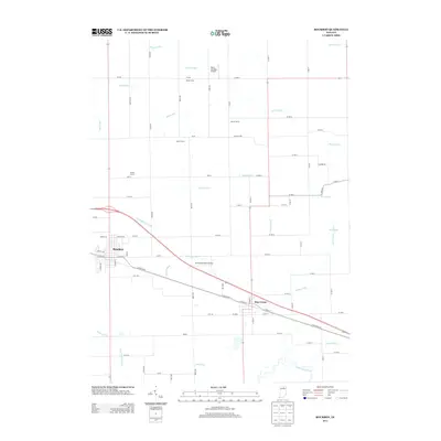
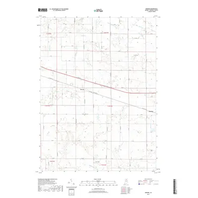
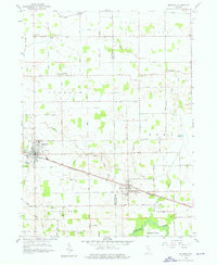 1958 Bourbon1960 Print · USGSNorthern Indiana farm country and the crossroads at Bourbon are captured here in the late fifties. Genealogists can trace family names at Odd Fellows Cem or locate the Township Sch and rural churches like Jerusalem Ch.4 unique versions available
 - 1984 Map of Knox, 1985 Print
 1984 Knox1985 Print · USGSNorthern Indiana's glacial lake country is captured in the mid-eighties, showing a landscape defined by the Kankakee River and major rail lines. Genealogists and historians can trace family ties through lakefront settlements like Lake Maxinkuckee and Bass Lake or the Old Indian Treaty Boundary.2 unique versions available
 - 2010 Map of Inwood, 2010 Print
 2010 Inwood2010 Print · USGSCovers Bourbon, including Inwood, Marshall County, and other nearby areas
 - 2010 Map of Bourbon, 2010 Print
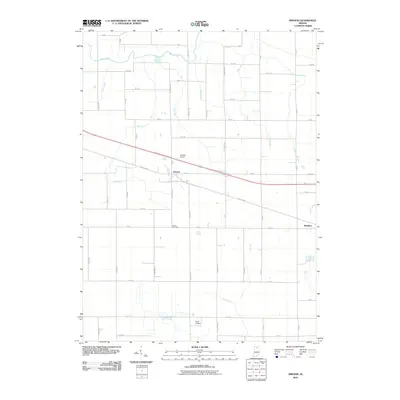
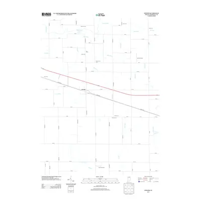
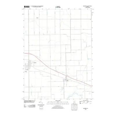 2010 Bourbon2010 Print · USGSCovers Bourbon, including Etna Green, Kosciusko County, and other nearby areas
 - 2013 Map of Bourbon, 2013 Print
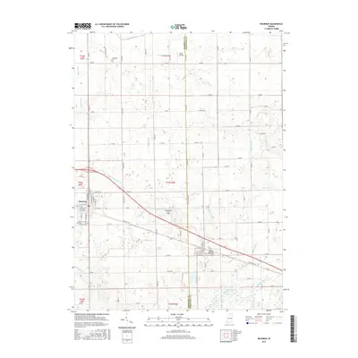
 2013 Bourbon2013 Print · USGSCovers Bourbon, including Etna Green, Kosciusko County, and other nearby areas
 - 2013 Map of Inwood, 2013 Print
 2013 Inwood2013 Print · USGSCovers Bourbon, including Inwood, Marshall County, and other nearby areas
 - 2016 Map of Bourbon, 2016 Print
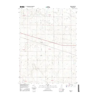
 2016 Bourbon2016 Print · USGSCovers Bourbon, including Etna Green, Kosciusko County, and other nearby areas
 - 2016 Map of Inwood, 2016 Print
 2016 Inwood2016 Print · USGSCovers Bourbon, including Inwood, Marshall County, and other nearby areas
 - 2019 Map of Inwood, 2019 Print
 2019 Inwood2019 Print · USGSCovers Bourbon, including Inwood, Marshall County, and other nearby areas
 - 2019 Map of Bourbon, 2019 Print
 2019 Bourbon2019 Print · USGSCovers Bourbon, including Etna Green, Kosciusko County, and other nearby areas
 - 2022 Map of Bourbon, 2022 Print
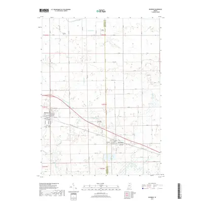
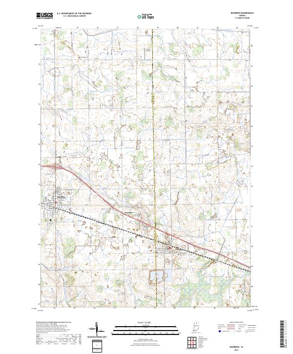 2022 Bourbon2022 Print · USGSBourbon and Etna Green sit at the crossroads of Marshall and Kosciusko Counties in the early twenty-first century. Genealogists can locate family sites at Sandridge Cem or Parks Memorial Cem, while following the paths of Danner Ditch and the Tippecanoe River.
 - 2022 Map of Inwood, 2022 Print
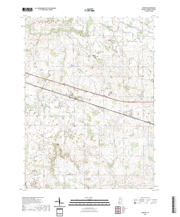 2022 Inwood2022 Print · USGSAgricultural lands and crossroads settlements define Marshall County in the early 2020s. Genealogists and local historians can trace family plots at Salem Cem and follow the drainage of the Yellow River through Porter Ditch and Stone Ditch.
End of results
Showing maps 1-15 of 15
Top cities near Bourbon
- Goshen historical maps
- Plymouth historical maps
- Nappanee historical maps
- Rochester historical maps
- Locke historical maps
- Bremen historical maps
See more
Frequently asked questions
- What are the different types of historical maps available for Bourbon?
- What is the oldest map of Bourbon?
- Where can I purchase historical maps of Bourbon for my home or office?
- Where can I download high-res historical maps of Bourbon?
- Are there historical topographic maps available for Bourbon?
- Is there historical aerial imagery available for Bourbon?
- Where are historical maps of Bourbon sourced from?