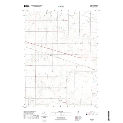
2019 Map of Inwood
USGS Topo · Published 2019About this map
Inwood and the western outskirts of Bourbon center this agricultural landscape in Marshall County, defined by a dense network of drainage ditches and rural roads. The passage of the E Lincoln Hwy and Old US Hwy 30 illustrates the evolution of transcontinental travel through northern Indiana, following the path of the earlier Pennsylvania Railroad corridor. The terrain is dominated by managed waterways like Stone Ditch and Brock Ditch, which feed into larger systems such as the Yellow River. For genealogists and local historians, Salem Cem stands as a significant landmark along 12th Road. Smaller community features, including Ball Field and Scott Field, provide glimpses into the local social geography. The map reflects a highly organized township-and-range system, with sections precisely delineated across T34N, T33N, and T32N.
Find a feature on this map
48 named features on this map. Tap any name to fly to it.
Don’t see what you’re looking for? This feature index may not catch every label — zoom into the map to look around manually.
Map Details
Editions of this 2019 Inwood Map
This is the sole edition of this map. No revisions or reprints were ever made.
Other maps of this area
1953 · Chicago
USGS Topo · 1:250,000
1957 · Chicago
USGS Topo · 1:250,000
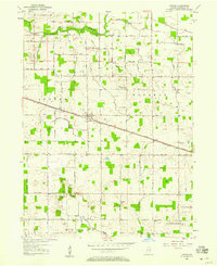
1957 · Inwood
USGS Topo · 1:24,000
1957 · Plymouth
USGS Topo · 1:24,000
1958 · Bremen
USGS Topo · 1:24,000
1958 · La Paz
USGS Topo · 1:24,000
1958 · Nappanee West
USGS Topo · 1:24,000
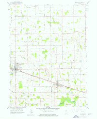
1958 · Bourbon
USGS Topo · 1:24,000
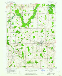
1959 · Mentone
USGS Topo · 1:24,000
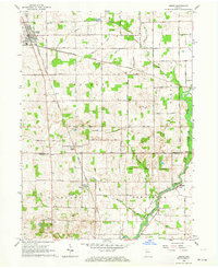
1962 · Argos
USGS Topo · 1:24,000