
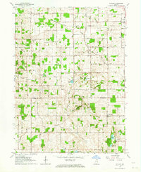
1962 Map of Argos
USGS Topo · Published 1964About this map
The New York Chicago and St Louis railroad corridor anchors this mid-century view of Northern Indiana, cutting a diagonal path through the landscape toward the town of Argos. This era shows a well-organized rural grid defined by roads like East 17th Road and Elm Rd, punctuated by small community centers such as Tiosa and Walnut. A significant historical landmark, the Old Indian Treaty Boundary, bisects the southern half of the map, marking an earlier era of land division that still influenced property lines and township borders between Richland and Newcastle. Along the meandering Tippecanoe River in the southeast corner, the settlement of Talma sits near the Township High Sch, while family history is preserved in scattered burial grounds like Maple Grove Cem and Reister Cem.
Find a feature on this map
33 named features on this map. Tap any name to fly to it.
Don’t see what you’re looking for? This feature index may not catch every label — zoom into the map to look around manually.
Map Details
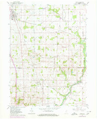
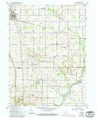
Editions of this 1962 Argos Map
Other maps of this area

1953 · Chicago
USGS Topo · 1:250,000

1957 · Chicago
USGS Topo · 1:250,000

1957 · Inwood
USGS Topo · 1:24,000

1957 · Plymouth
USGS Topo · 1:24,000

1958 · Bourbon
USGS Topo · 1:24,000

1959 · Mentone
USGS Topo · 1:24,000

1962 · Pershing
USGS Topo · 1:24,000
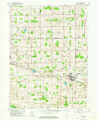
1962 · Akron
USGS Topo · 1:24,000
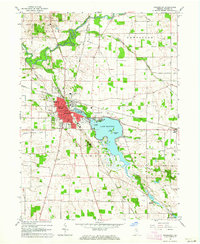
1962 · Rochester
USGS Topo · 1:24,000
1962 · Rutland
USGS Topo · 1:24,000